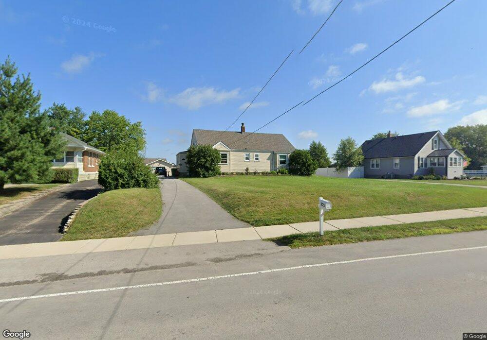
1023 Mccarthy Rd Lemont, IL 60439
Northeast Lemont NeighborhoodEstimated Value: $366,000 - $499,000
4
Beds
2
Baths
1,914
Sq Ft
$216/Sq Ft
Est. Value
About This Home
This home is located at 1023 Mccarthy Rd, Lemont, IL 60439 and is currently estimated at $413,662, approximately $216 per square foot. 1023 Mccarthy Rd is a home located in Cook County with nearby schools including Oakwood School, River Valley School, and Old Quarry Middle School.
Ownership History
Date
Name
Owned For
Owner Type
Purchase Details
Closed on
Jun 1, 2016
Sold by
Graf Amanda G and Graf Micah A
Bought by
Chicago Title Land Trust Co and Trust Number 8002371485
Current Estimated Value
Create a Home Valuation Report for This Property
The Home Valuation Report is an in-depth analysis detailing your home's value as well as a comparison with similar homes in the area
Home Values in the Area
Average Home Value in this Area
Purchase History
| Date | Buyer | Sale Price | Title Company |
|---|---|---|---|
| Chicago Title Land Trust Co | -- | Chicago Title Land Trust Com |
Source: Public Records
Tax History
| Year | Tax Paid | Tax Assessment Tax Assessment Total Assessment is a certain percentage of the fair market value that is determined by local assessors to be the total taxable value of land and additions on the property. | Land | Improvement |
|---|---|---|---|---|
| 2025 | $2,951 | $15,857 | $6,468 | $9,389 |
| 2024 | $2,951 | $15,857 | $6,468 | $9,389 |
| 2023 | $2,567 | $15,857 | $6,468 | $9,389 |
| 2022 | $2,567 | $12,284 | $2,736 | $9,548 |
| 2021 | $2,499 | $12,284 | $2,736 | $9,548 |
| 2020 | $2,552 | $12,284 | $2,736 | $9,548 |
| 2019 | $2,886 | $14,193 | $2,736 | $11,457 |
| 2018 | $2,838 | $14,193 | $2,736 | $11,457 |
| 2017 | $2,802 | $14,193 | $2,736 | $11,457 |
| 2016 | $2,364 | $11,263 | $2,238 | $9,025 |
| 2015 | $2,699 | $11,263 | $2,238 | $9,025 |
| 2014 | $2,725 | $11,263 | $2,238 | $9,025 |
| 2013 | $2,946 | $12,961 | $2,238 | $10,723 |
Source: Public Records
Map
Nearby Homes
- 441 Wheeler Dr
- 525 Senon Dr
- 11174 Tuscany Ln
- 1004 Saddle Ln
- 614 Czacki St
- 700 Czacki St
- 400 Mccarthy Rd Unit 419
- 400 Mccarthy Rd Unit 421
- 1268 Durham Ln
- 402 Stephen St
- 523 Talcott Ave
- 14517 Albany Ave
- 302 Freehauf St
- 351 Front St Unit 2212
- 12183 Morandi Ct
- 12185 Morandi Ct
- 12444 Killarney Dr
- 342 River St Unit 3402
- 332 River St Unit 4504
- 16 E Illinois St
- 1023 Mccarthy Rd
- 1023 Mccarthy Rd Unit A
- 1027 Mccarthy Rd
- 1019 Mccarthy Rd
- 1017 Mccarthy Rd
- 2 Lindsay Ct
- 4 Lindsay Ct
- 1037 Mccarthy Rd
- 1011 Mccarthy Rd
- 1011 Mccarthy Rd
- 641 Harasek St
- 1041 Mccarthy Rd
- 2 Wexford Ct
- 10 Hilltop Ct
- 651 Harasek St
- 8 Hilltop Ct
- 1 Lindsay Ct
- 610 Kruk St
- 4 Wexford Ct
- 661 Harasek St
Your Personal Tour Guide
Ask me questions while you tour the home.