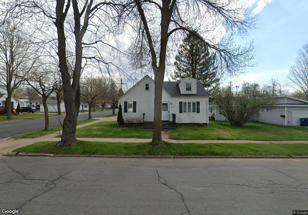
1023 N 10th Ave Wausau, WI 54401
Estimated Value: $134,000 - $150,344
2
Beds
1
Bath
--
Sq Ft
6,098
Sq Ft Lot
About This Home
This home is located at 1023 N 10th Ave, Wausau, WI 54401 and is currently estimated at $141,336. 1023 N 10th Ave is a home located in Marathon County with nearby schools including Thomas Jefferson Elementary School, John Muir Middle School, and West High School.
Ownership History
Date
Name
Owned For
Owner Type
Purchase Details
Closed on
Dec 10, 2015
Sold by
Coplien Terry
Bought by
Jensen Donald D and Jensen Nancy Jo
Current Estimated Value
Home Financials for this Owner
Home Financials are based on the most recent Mortgage that was taken out on this home.
Original Mortgage
$46,400
Outstanding Balance
$36,804
Interest Rate
3.96%
Mortgage Type
Unknown
Estimated Equity
$104,532
Purchase Details
Closed on
Aug 28, 2015
Sold by
Vision Real Estate Inc
Bought by
Coplien Terry
Purchase Details
Closed on
Aug 27, 2015
Sold by
Fochs Debra J and Fochs Debra
Bought by
Vision Real Estate Inc
Create a Home Valuation Report for This Property
The Home Valuation Report is an in-depth analysis detailing your home's value as well as a comparison with similar homes in the area
Home Values in the Area
Average Home Value in this Area
Purchase History
| Date | Buyer | Sale Price | Title Company |
|---|---|---|---|
| Jensen Donald D | $58,000 | Attorney | |
| Coplien Terry | $25,000 | Attorney | |
| Vision Real Estate Inc | $15,000 | Attorney |
Source: Public Records
Mortgage History
| Date | Status | Borrower | Loan Amount |
|---|---|---|---|
| Open | Jensen Donald D | $46,400 |
Source: Public Records
Tax History Compared to Growth
Tax History
| Year | Tax Paid | Tax Assessment Tax Assessment Total Assessment is a certain percentage of the fair market value that is determined by local assessors to be the total taxable value of land and additions on the property. | Land | Improvement |
|---|---|---|---|---|
| 2024 | $2,291 | $121,900 | $19,600 | $102,300 |
| 2023 | $1,574 | $64,500 | $15,300 | $49,200 |
| 2022 | $1,574 | $64,500 | $15,300 | $49,200 |
| 2021 | $1,523 | $64,500 | $15,300 | $49,200 |
| 2020 | $1,548 | $64,500 | $15,300 | $49,200 |
| 2019 | $1,567 | $61,000 | $11,500 | $49,500 |
| 2018 | $1,544 | $61,000 | $11,500 | $49,500 |
| 2017 | $1,489 | $61,000 | $11,500 | $49,500 |
| 2016 | $1,448 | $61,000 | $11,500 | $49,500 |
| 2015 | $1,677 | $68,500 | $11,500 | $57,000 |
| 2014 | $1,766 | $75,500 | $16,800 | $58,700 |
Source: Public Records
Map
Nearby Homes
- 908 N 10th Ave
- 907 N 9th Ave
- 614 N 10th Ave
- 1311 N 4th Ave
- 1505 Graham St
- 1104 Holub St
- 1514 Brady St
- 1508 Merrill Ave Unit 311
- 1508 Merrill Ave Unit 213
- 108 W Strowbridge St
- 501 N 12th Ave
- 102 E Strowbridge St
- 427 N 6th Ave
- 1509 N 3rd Ave
- 314 N 10th Ave
- 1537 Lenard St
- 213 N 17th Ave
- 1618 E Bos Creek Dr
- 1718 Mortenson Dr
- 212 S 5th Ave