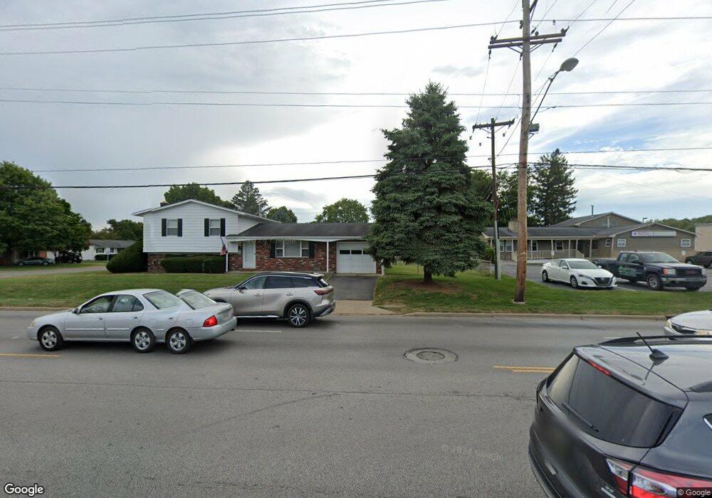
1023 N 21st St Newark, OH 43055
Estimated Value: $236,000 - $266,000
3
Beds
2
Baths
1,056
Sq Ft
$239/Sq Ft
Est. Value
About This Home
This home is located at 1023 N 21st St, Newark, OH 43055 and is currently estimated at $251,986, approximately $238 per square foot. 1023 N 21st St is a home located in Licking County with nearby schools including Legend Elementary School, Liberty Middle School, and Newark High School.
Ownership History
Date
Name
Owned For
Owner Type
Purchase Details
Closed on
Mar 5, 2004
Sold by
Glenn Dessie and Oldaker Joyce
Bought by
1033 N 21St Street Ltd
Current Estimated Value
Home Financials for this Owner
Home Financials are based on the most recent Mortgage that was taken out on this home.
Original Mortgage
$119,000
Interest Rate
5.77%
Mortgage Type
Unknown
Create a Home Valuation Report for This Property
The Home Valuation Report is an in-depth analysis detailing your home's value as well as a comparison with similar homes in the area
Home Values in the Area
Average Home Value in this Area
Purchase History
| Date | Buyer | Sale Price | Title Company |
|---|---|---|---|
| 1033 N 21St Street Ltd | $114,000 | -- |
Source: Public Records
Mortgage History
| Date | Status | Borrower | Loan Amount |
|---|---|---|---|
| Closed | 1033 N 21St Street Ltd | $119,000 |
Source: Public Records
Tax History Compared to Growth
Tax History
| Year | Tax Paid | Tax Assessment Tax Assessment Total Assessment is a certain percentage of the fair market value that is determined by local assessors to be the total taxable value of land and additions on the property. | Land | Improvement |
|---|---|---|---|---|
| 2024 | $2,108 | $57,470 | $11,690 | $45,780 |
| 2023 | $3,062 | $57,470 | $11,690 | $45,780 |
| 2022 | $1,880 | $45,710 | $10,640 | $35,070 |
| 2021 | $1,972 | $45,710 | $10,640 | $35,070 |
| 2020 | $2,017 | $45,710 | $10,640 | $35,070 |
| 2019 | $1,804 | $39,350 | $8,860 | $30,490 |
| 2018 | $1,805 | $0 | $0 | $0 |
| 2017 | $1,804 | $0 | $0 | $0 |
| 2016 | $882 | $0 | $0 | $0 |
| 2015 | $942 | $0 | $0 | $0 |
| 2014 | $2,399 | $0 | $0 | $0 |
| 2013 | $823 | $0 | $0 | $0 |
Source: Public Records
Map
Nearby Homes
- 913 Roosevelt Ct
- 440 Reverie Place
- 473 Meadowbrook Dr
- 1006 Kingsbury Ct Unit 1006
- 584 Moull St Unit A
- 712 Stone Ridge Way
- 188 Meadow Dr
- 184 Meadow Dr
- 245 Rugg Ave
- 711 Sherwick Rd
- 709 Meadow Dr
- 855 E Village Dr
- 189 N Quentin Rd
- 181 S Quentin Rd
- 632 Granville Rd
- 988 Mount Vernon Rd
- 425 N 11th St
- 565 Granville St
- 567 Kibler Ave
- 376 Woods Ave
- 406 Jackson Blvd
- 412 Jackson Blvd
- 1033 N 21st St
- 999 N 21st St
- 405 Jackson Blvd
- 420 Jackson Blvd
- 411 Jackson Blvd
- 1051 N 21st St
- 1000 N 21st St
- 417 Jackson Blvd
- 426 Jackson Blvd
- 998 N 21st St
- 423 Jackson Blvd
- 1067 N 21st St
- 432 Jackson Blvd
- 1004 Cleveland Ave
- 507 Catalina Dr Unit D5
- 994 Cleveland Ave
- 994 Cleveland Ave Unit 4
- 504/506 Catalina Dr