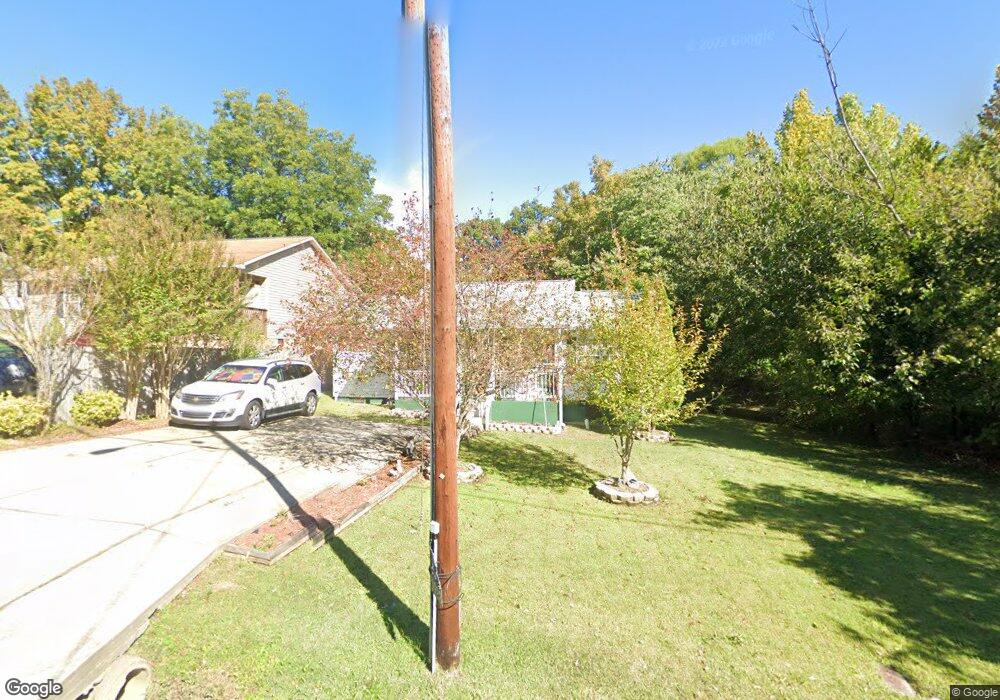
1023 Nathan Hunt Dr High Point, NC 27260
Greater High Point NeighborhoodEstimated Value: $143,000 - $182,199
3
Beds
2
Baths
1,060
Sq Ft
$157/Sq Ft
Est. Value
About This Home
This home is located at 1023 Nathan Hunt Dr, High Point, NC 27260 and is currently estimated at $166,550, approximately $157 per square foot. 1023 Nathan Hunt Dr is a home located in Guilford County with nearby schools including Fairview Elementary School, Ferndale Middle School, and High Point Central High School.
Ownership History
Date
Name
Owned For
Owner Type
Purchase Details
Closed on
Sep 23, 2004
Sold by
Hatcher Hanson R and Hatcher Carolyn R
Bought by
Hernandez Maria Torres
Current Estimated Value
Home Financials for this Owner
Home Financials are based on the most recent Mortgage that was taken out on this home.
Original Mortgage
$85,000
Outstanding Balance
$39,960
Interest Rate
5.12%
Mortgage Type
Purchase Money Mortgage
Estimated Equity
$126,590
Create a Home Valuation Report for This Property
The Home Valuation Report is an in-depth analysis detailing your home's value as well as a comparison with similar homes in the area
Home Values in the Area
Average Home Value in this Area
Purchase History
| Date | Buyer | Sale Price | Title Company |
|---|---|---|---|
| Hernandez Maria Torres | $85,000 | -- |
Source: Public Records
Mortgage History
| Date | Status | Borrower | Loan Amount |
|---|---|---|---|
| Open | Hernandez Maria Torres | $85,000 |
Source: Public Records
Tax History Compared to Growth
Tax History
| Year | Tax Paid | Tax Assessment Tax Assessment Total Assessment is a certain percentage of the fair market value that is determined by local assessors to be the total taxable value of land and additions on the property. | Land | Improvement |
|---|---|---|---|---|
| 2025 | $1,505 | $109,200 | $11,000 | $98,200 |
| 2024 | $1,505 | $109,200 | $11,000 | $98,200 |
| 2023 | $1,505 | $109,200 | $11,000 | $98,200 |
| 2022 | $1,472 | $109,200 | $11,000 | $98,200 |
| 2021 | $1,235 | $89,600 | $8,800 | $80,800 |
| 2020 | $1,235 | $89,600 | $8,800 | $80,800 |
| 2019 | $1,235 | $89,600 | $0 | $0 |
| 2018 | $1,229 | $89,600 | $0 | $0 |
| 2017 | $1,229 | $89,600 | $0 | $0 |
| 2016 | $1,241 | $88,500 | $0 | $0 |
| 2015 | $1,248 | $88,500 | $0 | $0 |
| 2014 | $1,269 | $88,500 | $0 | $0 |
Source: Public Records
Map
Nearby Homes
- 1605 Mossbrook Cir
- 1907 Apex Place
- 1222 Carter St
- 650 Wesley Dr
- 640 Wesley Dr
- 430 New St
- 2317 Purdy Ave
- 511 Hines St
- 507 Hines St
- 811 Worth St
- 1423 E Commerce Ave
- 901 Richland St
- 1908 Leonard Ave
- 1010 Grace St
- 901 Hickory Chapel Rd
- 709 Habersham Rd
- 1035 Asheboro St
- 504 Meredith St
- 607 Martha Place
- 312 Model Farm Rd
- 1021 Nathan Hunt Dr
- 1019 Nathan Hunt Dr
- 1111 Nathan Hunt Dr
- 2502 Friends Ave
- 1017 Nathan Hunt Dr
- 2500 Friends Ave
- 2506 Friends Ave
- 1113 Nathan Hunt Dr
- 1020 Nathan Hunt Dr
- 1115 Nathan Hunt Dr
- 2510 Friends Ave
- 2408 Friends Ave
- 1013 Nathan Hunt Dr
- 1108 Nathan Hunt Dr
- 1014 Nathan Hunt Dr
- 1011 Nathan Hunt Dr
- 2512 Friends Ave
- 1117 Nathan Hunt Dr
- 2404 Friends Ave
- 2503 Friends Ave