1023 Table View Dr Morganton, NC 28655
Estimated Value: $764,000 - $1,316,310
4
Beds
6
Baths
5,272
Sq Ft
$187/Sq Ft
Est. Value
About This Home
This home is located at 1023 Table View Dr, Morganton, NC 28655 and is currently estimated at $986,578, approximately $187 per square foot. 1023 Table View Dr is a home located in Burke County with nearby schools including Walter R. Johnson Middle School and Freedom High School.
Ownership History
Date
Name
Owned For
Owner Type
Purchase Details
Closed on
Aug 30, 2018
Sold by
Laczko Diane Seago and Laczko Diane Seago
Bought by
Cook Jack D and Cook Glenda A
Current Estimated Value
Purchase Details
Closed on
Sep 6, 2017
Sold by
Old Oaks Llc
Bought by
Laczko Andrew Joseph
Purchase Details
Closed on
Apr 29, 2014
Sold by
Biggs Kevin S and Biggs Tiffany W
Bought by
Old Oaks Llc
Purchase Details
Closed on
Jun 29, 2011
Sold by
K M Properties Ltd
Bought by
Biggs Kevin S
Create a Home Valuation Report for This Property
The Home Valuation Report is an in-depth analysis detailing your home's value as well as a comparison with similar homes in the area
Home Values in the Area
Average Home Value in this Area
Purchase History
| Date | Buyer | Sale Price | Title Company |
|---|---|---|---|
| Cook Jack D | $565,000 | None Available | |
| Laczko Andrew Joseph | -- | Attorney | |
| Old Oaks Llc | $32,500 | None Available | |
| Biggs Kevin S | $26,000 | None Available |
Source: Public Records
Tax History
| Year | Tax Paid | Tax Assessment Tax Assessment Total Assessment is a certain percentage of the fair market value that is determined by local assessors to be the total taxable value of land and additions on the property. | Land | Improvement |
|---|---|---|---|---|
| 2025 | $6,511 | $950,464 | $52,270 | $898,194 |
| 2024 | $6,558 | $950,464 | $52,270 | $898,194 |
| 2023 | $5,802 | $840,866 | $52,270 | $788,596 |
| 2022 | $4,582 | $555,382 | $32,794 | $522,588 |
| 2021 | $4,582 | $555,382 | $32,794 | $522,588 |
| 2020 | $4,360 | $555,382 | $32,794 | $522,588 |
| 2019 | $4,360 | $555,382 | $32,794 | $522,588 |
| 2018 | $3,172 | $404,013 | $23,436 | $380,577 |
| 2017 | $3,172 | $404,013 | $23,436 | $380,577 |
| 2016 | $1,454 | $191,317 | $25,936 | $165,381 |
| 2015 | $197 | $25,936 | $25,936 | $0 |
| 2014 | $197 | $25,936 | $25,936 | $0 |
| 2013 | $197 | $25,936 | $25,936 | $0 |
Source: Public Records
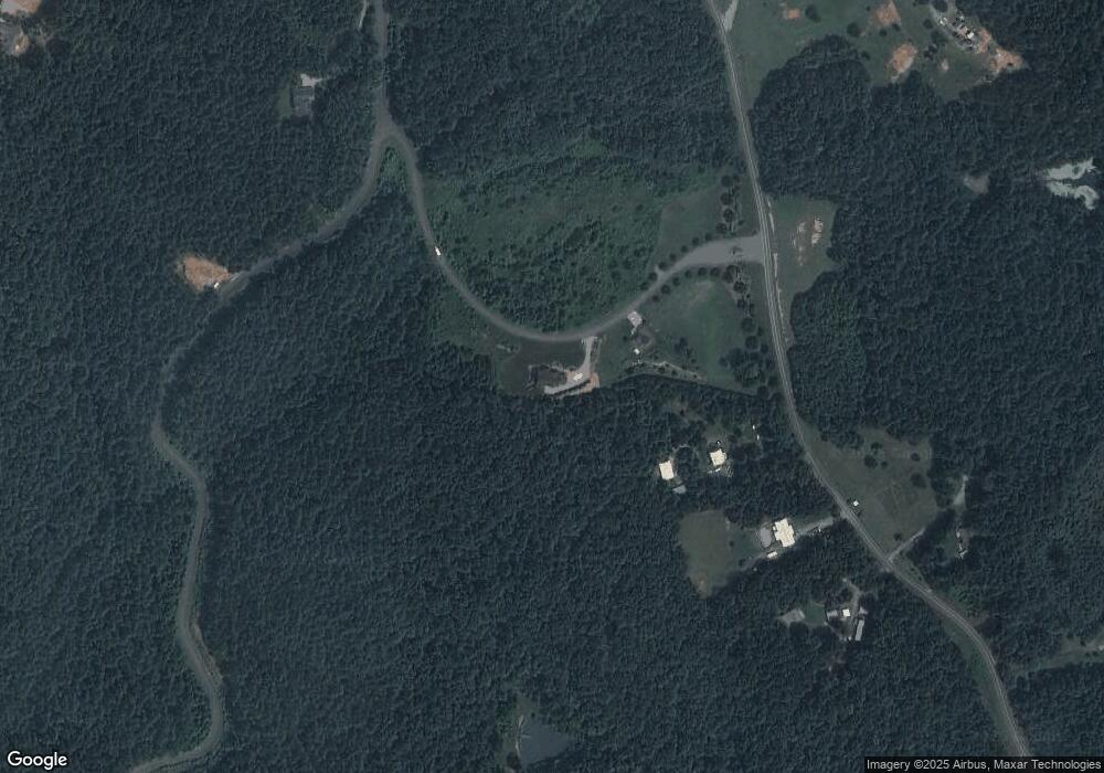
Map
Nearby Homes
- 1028 Table View Dr Unit 67
- 2019 Robert Dr Unit 6
- 2039 Robert Dr Unit 9
- 2043 Robert Dr Unit 10
- 1040 Table View Dr Unit 65
- 1106 Table View Dr Unit Lot 50
- 1044 Table View Dr Unit 64
- 1045 Table View Dr Unit 34
- 1045 Table View Dr
- 1048 Table View Dr Unit 63
- 2050 Robert Dr
- 1111 Table View Dr
- 1099 Table View Dr Unit 43
- 1091 Table View Dr Unit 42
- 1087 Table View Dr Unit 41
- 2091 Robert Dr
- 1083 Table View Dr Unit 40
- 2068 Robert Dr Unit 27
- 2080 Robert Dr Unit 25
- 1070 Table View Dr Unit 56
- 1017 Table View Dr
- 1039 Tableview Dr
- 1028 Table View Dr
- 1034 Table View Dr Unit 66
- 1034 Table View Dr
- 1022 Table View Dr
- 1010 Table View Dr Unit 70
- 2019 Robert Dr
- 2039 Robert Dr
- 2043 Robert Dr
- 1040 Table View Dr
- 4333 Pax Hill Rd
- 1106 Table View Dr
- 1053 Table View Dr
- 1044 Table View Dr
- 2049 Robert Dr Unit 11
- 2049 Robert Dr
- 2031 Robert Dr Unit 8
- 2031 Robert Dr
- 4303 Pax Hill Rd Unit 13
Your Personal Tour Guide
Ask me questions while you tour the home.