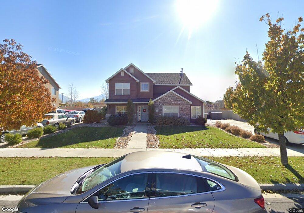
1023 W 125 N Springville, UT 84663
Westfields North NeighborhoodEstimated Value: $537,000 - $585,000
4
Beds
3
Baths
2,048
Sq Ft
$268/Sq Ft
Est. Value
About This Home
This home is located at 1023 W 125 N, Springville, UT 84663 and is currently estimated at $549,887, approximately $268 per square foot. 1023 W 125 N is a home located in Utah County with nearby schools including Westside Elementary School, Springville Junior High School, and Springville High School.
Ownership History
Date
Name
Owned For
Owner Type
Purchase Details
Closed on
Jun 11, 2015
Sold by
Dyer W Justin and Dyer Aislin
Bought by
Mynard Keith and Mynard Shawna
Current Estimated Value
Home Financials for this Owner
Home Financials are based on the most recent Mortgage that was taken out on this home.
Original Mortgage
$249,850
Outstanding Balance
$193,929
Interest Rate
3.81%
Mortgage Type
New Conventional
Estimated Equity
$355,958
Purchase Details
Closed on
Aug 12, 2010
Sold by
Miyasaki Shane K
Bought by
Dyer W Justin and Dyer Aislin
Home Financials for this Owner
Home Financials are based on the most recent Mortgage that was taken out on this home.
Original Mortgage
$197,243
Interest Rate
4.37%
Mortgage Type
FHA
Purchase Details
Closed on
Dec 21, 2006
Sold by
Miyasaki Shane K and Miyasaki Alaina
Bought by
Miyasaki Shane K
Home Financials for this Owner
Home Financials are based on the most recent Mortgage that was taken out on this home.
Original Mortgage
$197,500
Interest Rate
6.22%
Mortgage Type
New Conventional
Purchase Details
Closed on
Mar 15, 2006
Sold by
Salisbury Development Lc
Bought by
Miyasaki Shane K and Miyasaki Alaina
Home Financials for this Owner
Home Financials are based on the most recent Mortgage that was taken out on this home.
Original Mortgage
$30,350
Interest Rate
6.25%
Mortgage Type
Stand Alone Second
Create a Home Valuation Report for This Property
The Home Valuation Report is an in-depth analysis detailing your home's value as well as a comparison with similar homes in the area
Home Values in the Area
Average Home Value in this Area
Purchase History
| Date | Buyer | Sale Price | Title Company |
|---|---|---|---|
| Mynard Keith | -- | Cottonwood Title Ins Ag | |
| Dyer W Justin | -- | Cottonwood Title Insurance | |
| Miyasaki Shane K | -- | Surety Title | |
| Miyasaki Shane K | -- | Provo Land Title Company |
Source: Public Records
Mortgage History
| Date | Status | Borrower | Loan Amount |
|---|---|---|---|
| Open | Mynard Keith | $249,850 | |
| Previous Owner | Dyer W Justin | $197,243 | |
| Previous Owner | Miyasaki Shane K | $197,500 | |
| Previous Owner | Miyasaki Shane K | $30,350 | |
| Previous Owner | Miyasaki Shane K | $161,868 |
Source: Public Records
Tax History Compared to Growth
Tax History
| Year | Tax Paid | Tax Assessment Tax Assessment Total Assessment is a certain percentage of the fair market value that is determined by local assessors to be the total taxable value of land and additions on the property. | Land | Improvement |
|---|---|---|---|---|
| 2025 | $2,540 | $275,715 | $191,000 | $310,300 |
| 2024 | $2,540 | $252,065 | $0 | $0 |
| 2023 | $2,491 | $249,590 | $0 | $0 |
| 2022 | $2,727 | $268,235 | $0 | $0 |
| 2021 | $2,328 | $356,100 | $123,700 | $232,400 |
| 2020 | $2,185 | $324,000 | $91,600 | $232,400 |
| 2019 | $1,985 | $299,300 | $88,200 | $211,100 |
| 2018 | $1,959 | $281,600 | $82,700 | $198,900 |
| 2017 | $1,803 | $137,500 | $0 | $0 |
| 2016 | $1,723 | $128,810 | $0 | $0 |
| 2015 | $1,541 | $117,425 | $0 | $0 |
| 2014 | $1,491 | $112,585 | $0 | $0 |
Source: Public Records
Map
Nearby Homes
- 33 N 650 W
- 1197 W 150 S
- 1166 W 200 S
- 156 N 600 W
- 650 E 3600 S
- 399 N 1325 W
- 1456 W 350 N Unit LOT 72
- 1485 W 350 N
- 224 S 550 W Unit B-2
- 1468 W 350 N Unit LOT 73
- 12 N 450 W
- 293 S 450 W Unit B
- 249 W 300 N
- 550 S 400 W
- 717 S Harrison Dr Unit 29
- 749 S Harrison Dr Unit 38
- 776 S Harrison Dr Unit 78
- 742 S Harrison Dr Unit 13
- 743 S Harrison Dr W Unit 36
- 751 S Harrison Dr Unit 28