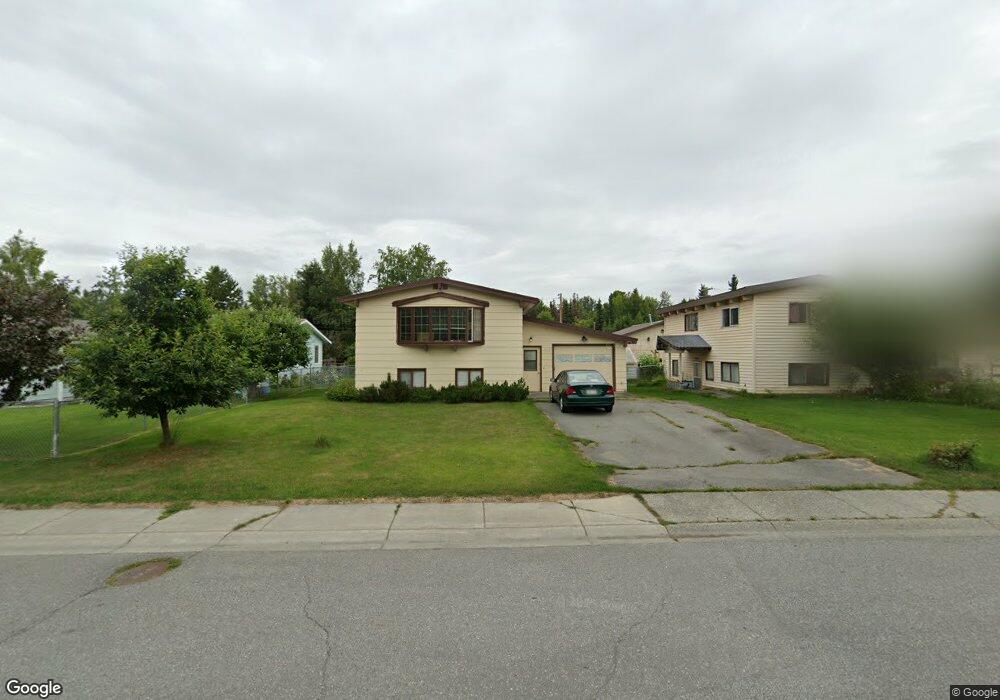
1023 W 20th Ave Anchorage, AK 99503
North Star NeighborhoodEstimated Value: $187,000 - $444,000
3
Beds
2
Baths
704
Sq Ft
$482/Sq Ft
Est. Value
About This Home
This home is located at 1023 W 20th Ave, Anchorage, AK 99503 and is currently estimated at $339,541, approximately $482 per square foot. 1023 W 20th Ave is a home located in Anchorage Municipality with nearby schools including North Star Elementary School, Romig Middle School, and West High School.
Ownership History
Date
Name
Owned For
Owner Type
Purchase Details
Closed on
Feb 28, 1994
Sold by
Stoltenberg Arnold W and Stoltenberg Cynthia
Bought by
Wilson Nancy J and Stoltenberg Arnold W
Current Estimated Value
Home Financials for this Owner
Home Financials are based on the most recent Mortgage that was taken out on this home.
Original Mortgage
$53,100
Interest Rate
6.98%
Mortgage Type
New Conventional
Create a Home Valuation Report for This Property
The Home Valuation Report is an in-depth analysis detailing your home's value as well as a comparison with similar homes in the area
Home Values in the Area
Average Home Value in this Area
Purchase History
| Date | Buyer | Sale Price | Title Company |
|---|---|---|---|
| Wilson Nancy J | -- | -- | |
| Wilson Nancy J | -- | -- | |
| Wilson Nancy J | -- | -- |
Source: Public Records
Mortgage History
| Date | Status | Borrower | Loan Amount |
|---|---|---|---|
| Closed | Wilson Nancy J | $53,100 |
Source: Public Records
Tax History Compared to Growth
Tax History
| Year | Tax Paid | Tax Assessment Tax Assessment Total Assessment is a certain percentage of the fair market value that is determined by local assessors to be the total taxable value of land and additions on the property. | Land | Improvement |
|---|---|---|---|---|
| 2025 | $1,573 | $336,400 | $100,000 | $236,400 |
| 2024 | $1,573 | $322,400 | $100,000 | $222,400 |
| 2023 | $5,119 | $300,600 | $100,000 | $200,600 |
| 2022 | $1,533 | $282,100 | $100,000 | $182,100 |
| 2021 | $4,564 | $253,300 | $100,000 | $153,300 |
| 2020 | $3,694 | $267,600 | $100,000 | $167,600 |
| 2019 | $3,634 | $272,100 | $100,000 | $172,100 |
| 2018 | $3,410 | $257,900 | $95,300 | $162,600 |
| 2017 | $3,938 | $271,500 | $95,300 | $176,200 |
| 2016 | $3,214 | $272,400 | $89,500 | $182,900 |
| 2015 | $3,214 | $280,000 | $89,500 | $190,500 |
| 2014 | $3,214 | $257,700 | $89,500 | $168,200 |
Source: Public Records
Map
Nearby Homes
- 1024 Potlatch Cir Unit 23
- 827 W 20th Ave
- 1945 Spenard Rd
- 1113 W Fireweed Ln Unit 505
- 1113 W Fireweed Ln Unit 204
- 1001 W Fireweed Ln
- 2201 Romig Place Unit 105
- 710 W 16th Ave
- 1327 W 25th Ave Unit 218
- 1016 W 25th Ave
- 2140 Dawson St
- 1435 W 25th Ave
- 1501 P St
- 1441 W 26th Ave Unit B3
- 1471 W 26th Ave
- 2607 Arctic Blvd
- 1310 G St
- 1200 I St Unit 503
- 957 W 12th Ave Unit 1
- 1607 W 14th Ave
- 1035 W 20th Ave
- 1011 W 20th Ave
- 1922 K St
- 1043 W 20th Ave
- 1053 W 20th Ave
- 1040 W 19th Ave
- 1040 W 19th Ave Unit 1/2
- 1040 W 19th Ave Unit A
- 1900 K St
- 1012 W 20th Ave
- 1050 W 19th Ave
- 1020 W 19th Ave
- 1925 K St
- 1063 W 20th Ave
- 1010 W 19th Ave
- 1030 W 19th Ave
- 1034 W 20th Ave
- 1060 W 19th Ave
- 1901 K St
- 1046 W 20th Ave