10230 Sherman Rd Chardon, OH 44024
Estimated Value: $369,000 - $399,000
2
Beds
2
Baths
2,029
Sq Ft
$190/Sq Ft
Est. Value
About This Home
This home is located at 10230 Sherman Rd, Chardon, OH 44024 and is currently estimated at $384,878, approximately $189 per square foot. 10230 Sherman Rd is a home located in Geauga County with nearby schools including Chardon High School, Notre Dame Elementary School, and St Anselm School.
Ownership History
Date
Name
Owned For
Owner Type
Purchase Details
Closed on
Aug 19, 2003
Sold by
Storey Suzanne J & William A Trustees
Bought by
Storey Suzanne J
Current Estimated Value
Purchase Details
Closed on
Dec 16, 1996
Sold by
Storey Suzanne J and Storey William A
Bought by
Storey Suzanne J
Purchase Details
Closed on
Dec 10, 1996
Sold by
Storey Suzanne J
Bought by
Storey Suzanne J and Storey William A
Purchase Details
Closed on
Jan 1, 1990
Bought by
Storey William A
Create a Home Valuation Report for This Property
The Home Valuation Report is an in-depth analysis detailing your home's value as well as a comparison with similar homes in the area
Home Values in the Area
Average Home Value in this Area
Purchase History
| Date | Buyer | Sale Price | Title Company |
|---|---|---|---|
| Storey Suzanne J | -- | -- | |
| Storey Suzanne J | -- | -- | |
| Storey Suzanne J | -- | -- | |
| Storey William A | -- | -- |
Source: Public Records
Tax History Compared to Growth
Tax History
| Year | Tax Paid | Tax Assessment Tax Assessment Total Assessment is a certain percentage of the fair market value that is determined by local assessors to be the total taxable value of land and additions on the property. | Land | Improvement |
|---|---|---|---|---|
| 2024 | $5,284 | $117,710 | $31,850 | $85,860 |
| 2023 | $5,284 | $117,710 | $31,850 | $85,860 |
| 2022 | $5,117 | $88,200 | $26,460 | $61,740 |
| 2021 | $5,094 | $88,200 | $26,460 | $61,740 |
| 2020 | $5,132 | $88,200 | $26,460 | $61,740 |
| 2019 | $4,114 | $79,700 | $26,460 | $53,240 |
| 2018 | $5,017 | $79,700 | $26,460 | $53,240 |
| 2017 | $4,114 | $79,700 | $26,460 | $53,240 |
| 2016 | $3,967 | $75,460 | $26,460 | $49,000 |
| 2015 | $3,737 | $75,460 | $26,460 | $49,000 |
| 2014 | $3,737 | $75,460 | $26,460 | $49,000 |
| 2013 | $3,761 | $75,460 | $26,460 | $49,000 |
Source: Public Records
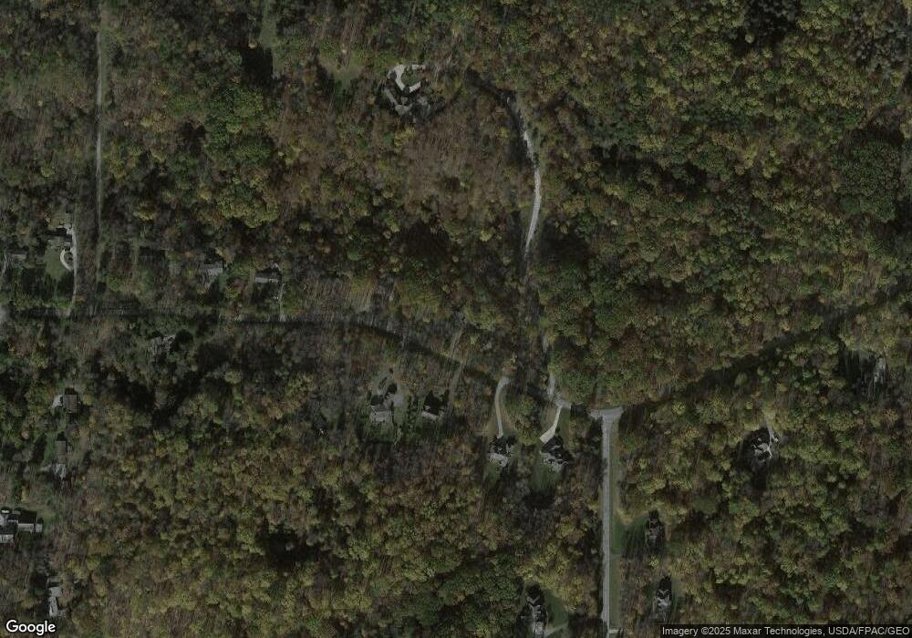
Map
Nearby Homes
- 11785 Stonegate Dr
- 10036 Wilson Mills Rd
- 10571 Mayfield Rd
- 12084 Heath Rd
- 9710 Wilson Mills Rd
- 11955 Fowlers Mill Rd
- 9610 Wilson Mills Rd
- 10263 Wye Rd
- 12790 Heath Rd
- 0 Fowlers Mill Rd Unit 5140846
- 12386 Auburn Rd
- 9448 Mayfield Rd
- 10970 Wood Hollow Dr
- 9475 Mayfield Rd
- 10891 Nollwood Dr
- 9753 Mulberry Rd
- 10504 Mulberry Rd
- 13228 Boulder Glen Dr
- 11865 Africa Acres Dr
- 13190 N Bridle Trail
- 10210 Sherman Rd
- 10215 Sherman Rd
- 10199 Sherman Rd
- 10170 Sherman Rd
- 10169 Sherman Rd
- 28 Wilshire
- 26 Wilshire
- S/L 28 Willshire
- 10235 Sherman Rd
- 10255 Sherman Rd
- 27 Wilshire
- 10150 Sherman Rd
- 28 Willshire Ln
- 27 Willshire Ln
- 26 Willshire Ln
- 10129 Sherman Rd
- 10130 Sherman Rd
- 12315 Willshire Ln
- 10319 Sherman Rd
- 10 Sherman Rd