10230 Us Highway 77 Lexington, OK 73051
Estimated Value: $165,992 - $252,000
3
Beds
2
Baths
1,344
Sq Ft
$153/Sq Ft
Est. Value
About This Home
This home is located at 10230 Us Highway 77, Lexington, OK 73051 and is currently estimated at $205,248, approximately $152 per square foot. 10230 Us Highway 77 is a home located in Cleveland County with nearby schools including Katherine I. Daily Elementary School, John K. Hubbard Elementary School, and Pioneer Intermediate Elementary School.
Ownership History
Date
Name
Owned For
Owner Type
Purchase Details
Closed on
Oct 17, 2023
Sold by
Grayson David P
Bought by
Pat Grayson Living Trust and Grayson
Current Estimated Value
Purchase Details
Closed on
Apr 24, 2012
Sold by
The Mamie Jo Grayson Revocable Living Tr
Bought by
Grayson David Patrick
Home Financials for this Owner
Home Financials are based on the most recent Mortgage that was taken out on this home.
Original Mortgage
$65,661
Interest Rate
6.25%
Mortgage Type
New Conventional
Create a Home Valuation Report for This Property
The Home Valuation Report is an in-depth analysis detailing your home's value as well as a comparison with similar homes in the area
Home Values in the Area
Average Home Value in this Area
Purchase History
| Date | Buyer | Sale Price | Title Company |
|---|---|---|---|
| Pat Grayson Living Trust | -- | None Listed On Document | |
| Grayson David Patrick | $78,000 | None Available |
Source: Public Records
Mortgage History
| Date | Status | Borrower | Loan Amount |
|---|---|---|---|
| Previous Owner | Grayson David Patrick | $65,661 |
Source: Public Records
Tax History Compared to Growth
Tax History
| Year | Tax Paid | Tax Assessment Tax Assessment Total Assessment is a certain percentage of the fair market value that is determined by local assessors to be the total taxable value of land and additions on the property. | Land | Improvement |
|---|---|---|---|---|
| 2024 | $629 | $5,763 | $1,094 | $4,669 |
| 2023 | $600 | $5,489 | $1,203 | $4,286 |
| 2022 | $546 | $5,228 | $1,332 | $3,896 |
| 2021 | $546 | $5,228 | $1,332 | $3,896 |
| 2020 | $554 | $5,228 | $1,332 | $3,896 |
| 2019 | $569 | $5,228 | $1,332 | $3,896 |
| 2018 | $563 | $5,228 | $1,332 | $3,896 |
| 2017 | $538 | $5,228 | $0 | $0 |
| 2016 | $543 | $5,228 | $1,332 | $3,896 |
| 2015 | -- | $5,228 | $1,332 | $3,896 |
| 2014 | -- | $5,228 | $1,332 | $3,896 |
Source: Public Records
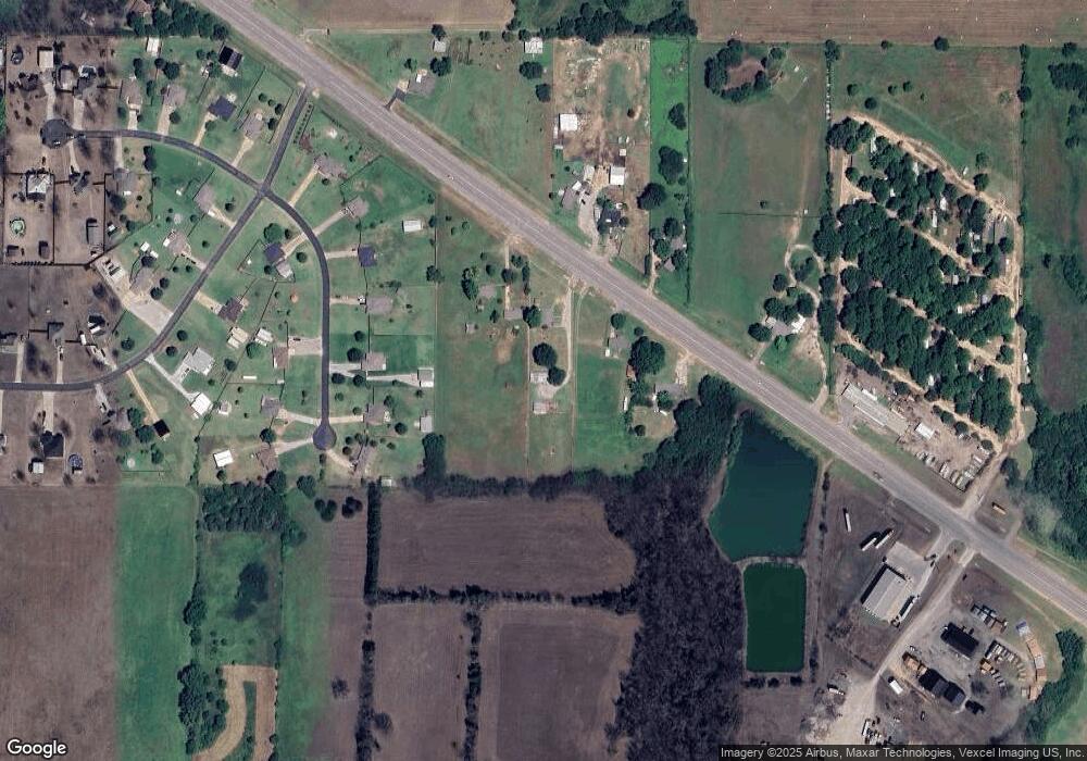
Map
Nearby Homes
- 7401 Springcreek Dr
- Lot 8
- Lot 6 48th Ave SE
- Jackson Plan at The Oaks
- Galatians Plan at The Oaks
- Ester Plan at The Oaks
- 11550 Timber Trail
- Lot 4
- Lot 7 48th St
- Lot 4 48th St
- 5225 Rolling Oaks
- 0 48th Ave Se (Lot3)
- 840 Highgarden Cir
- 12100 77th St
- 12301 Us Highway 77
- 5350 Cemetery Rd
- 0 Cemetery Rd
- 4 Baxter Ln
- 908 Dahlia Ln
- 1104 Magnolia Dr
- 10200 Us Highway 77
- 10260 Us Highway 77
- 10221 Us Highway 77
- 10290 Us Highway 77
- 10241 Us Highway 77
- 6635 Windridge Cir
- 6677 Windridge Cir
- 6521 Windridge Cir
- 6699 Windridge Cir
- 10291 Us Highway 77
- 10101 Us Highway 77
- 6600 Windridge Cir
- 6630 Windridge Cir
- 6680 Windridge Cir
- 6550 Windridge Cir
- 6698 Windridge Cir
- 10275 Windridge Dr
- 6477 Windridge Place
- 10325 Windridge Dr