10231 Gillsville Rd Maysville, GA 30558
Estimated Value: $544,000 - $1,015,217
--
Bed
1
Bath
1,452
Sq Ft
$537/Sq Ft
Est. Value
About This Home
This home is located at 10231 Gillsville Rd, Maysville, GA 30558 and is currently estimated at $779,609, approximately $536 per square foot. 10231 Gillsville Rd is a home with nearby schools including Maysville Elementary School, East Jackson Middle School, and East Jackson Comprehensive High School.
Ownership History
Date
Name
Owned For
Owner Type
Purchase Details
Closed on
Jun 7, 2022
Sold by
Chitwood Renalda
Bought by
Dale Clay F and Dale Helena J
Current Estimated Value
Home Financials for this Owner
Home Financials are based on the most recent Mortgage that was taken out on this home.
Original Mortgage
$800,000
Interest Rate
5.3%
Mortgage Type
New Conventional
Purchase Details
Closed on
Apr 11, 2018
Sold by
The Chitwood Fam Limite
Bought by
Chitwood Renalda
Purchase Details
Closed on
Mar 8, 2000
Sold by
Chitwood Renalda
Bought by
The Chitwood Family
Create a Home Valuation Report for This Property
The Home Valuation Report is an in-depth analysis detailing your home's value as well as a comparison with similar homes in the area
Home Values in the Area
Average Home Value in this Area
Purchase History
| Date | Buyer | Sale Price | Title Company |
|---|---|---|---|
| Dale Clay F | $1,000,000 | -- | |
| Chitwood Renalda | -- | -- | |
| The Chitwood Family | -- | -- |
Source: Public Records
Mortgage History
| Date | Status | Borrower | Loan Amount |
|---|---|---|---|
| Closed | Dale Clay F | $800,000 |
Source: Public Records
Tax History Compared to Growth
Tax History
| Year | Tax Paid | Tax Assessment Tax Assessment Total Assessment is a certain percentage of the fair market value that is determined by local assessors to be the total taxable value of land and additions on the property. | Land | Improvement |
|---|---|---|---|---|
| 2024 | $5,263 | $220,984 | $199,640 | $21,344 |
| 2023 | $5,263 | $218,704 | $199,640 | $19,064 |
| 2022 | $1,142 | $115,624 | $99,800 | $15,824 |
| 2021 | $1,117 | $115,624 | $99,800 | $15,824 |
| 2020 | $1,139 | $113,544 | $99,800 | $13,744 |
| 2019 | $1,139 | $113,544 | $99,800 | $13,744 |
| 2018 | $1,016 | $97,632 | $83,680 | $13,952 |
| 2017 | $930 | $95,307 | $83,712 | $11,595 |
| 2016 | $919 | $95,307 | $83,712 | $11,595 |
| 2015 | $908 | $95,307 | $83,712 | $11,595 |
| 2014 | $900 | $95,333 | $83,712 | $11,621 |
| 2013 | -- | $81,200 | $81,200 | $0 |
Source: Public Records
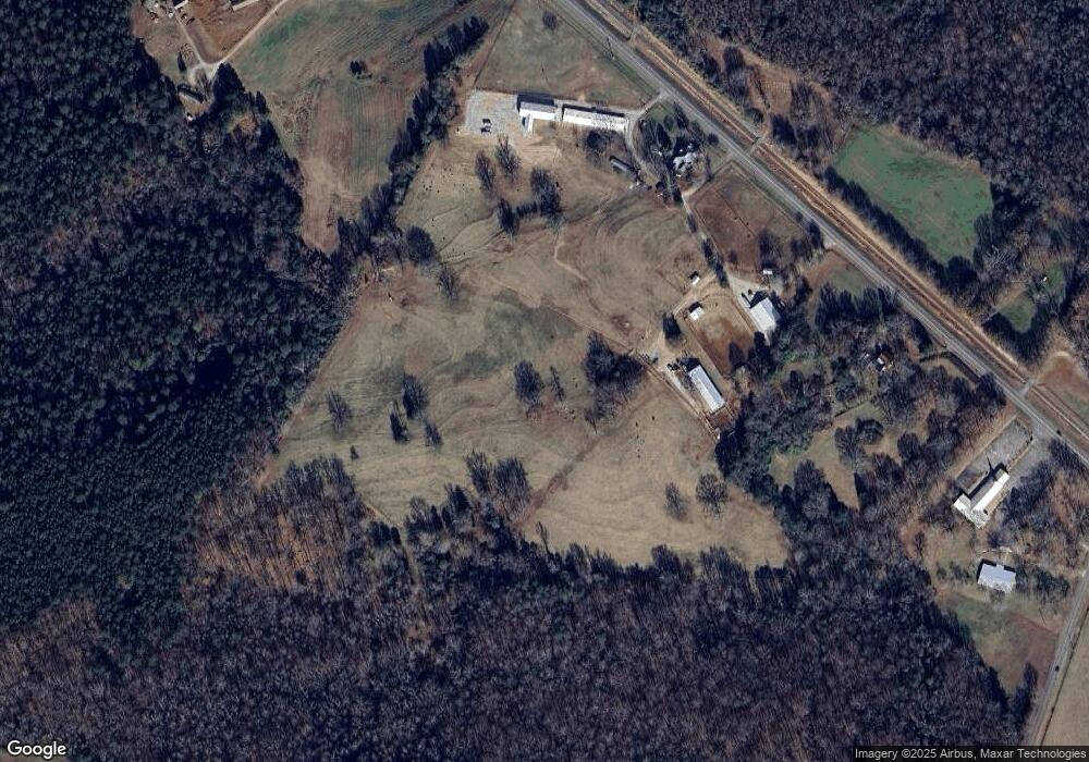
Map
Nearby Homes
- Plan 2604 at Eagle Heights
- Plan 2505 at Eagle Heights
- Plan 2906 at Eagle Heights
- Plan 1709 at Eagle Heights
- Plan 1826 at Eagle Heights
- Plan 2628 at Eagle Heights
- Plan 2239 at Eagle Heights
- Plan 1902 at Eagle Heights
- Plan 2307 at Eagle Heights
- Plan 2700 at Eagle Heights
- Plan 2328 at Eagle Heights
- Plan 2421 at Eagle Heights
- Plan 2100 at Eagle Heights
- Plan 2316 at Eagle Heights
- 199 Deadwyler Rd
- 104 Eagle Heights Dr
- 191 Eagle Heights Dr
- 393 W Freeman St
- 500 W Freeman St
- 1546 Bob Mann Rd
- 10165 Gillsville Rd
- 10325 Gillsville Rd
- 262 Highway 52
- 72 N Main St
- 0 Deadwyler Rd Unit 8280028
- 0 Deadwyler Rd Unit 7366250
- 0 Deadwyler Rd Unit 7490321
- 0 Deadwyler Rd Unit 13 8086142
- 0 Deadwyler Rd
- 0 Deadwyler Rd Unit Lot 5 CM984010
- 0 Deadwyler Rd Unit 984678
- 0 Deadwyler Rd Unit 20012744
- 0 Deadwyler Rd Unit LOT 4,5,6,7 9076068
- 0 Deadwyler Rd Unit LOT 7 9064775
- 0 Deadwyler Rd Unit LOT 6 9064750
- 0 Deadwyler Rd Unit LOT 5 9064715
- 0 Deadwyler Rd Unit 6955631
- 0 Deadwyler Rd Unit 8094270
- 0 Deadwyler Rd Unit 8804603
- 0 Deadwyler Rd Unit 8865403