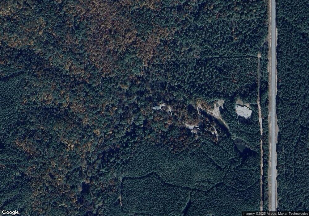
10231 Highway 411 Rd S Chatsworth, GA 30705
Estimated Value: $329,000 - $517,000
--
Bed
--
Bath
1,544
Sq Ft
$279/Sq Ft
Est. Value
About This Home
This home is located at 10231 Highway 411 Rd S, Chatsworth, GA 30705 and is currently estimated at $431,200, approximately $279 per square foot. 10231 Highway 411 Rd S is a home with nearby schools including Coker Elementary School, Gladden Middle School, and Murray County High School.
Ownership History
Date
Name
Owned For
Owner Type
Purchase Details
Closed on
Jun 15, 2023
Sold by
Pritchard David Roy
Bought by
Pritchard David Roy and Pritchard Lisa
Current Estimated Value
Purchase Details
Closed on
Aug 25, 2006
Sold by
Pritchard David Roy
Bought by
Jennings Mary Etta
Purchase Details
Closed on
Aug 23, 2006
Sold by
Pritchard David R
Bought by
Jennings Mary Etta
Purchase Details
Closed on
Jan 1, 2004
Sold by
Pritchard Annette Misciskia
Bought by
Pritchard David Roy
Purchase Details
Closed on
Sep 14, 1999
Sold by
Wachovia Bank Na
Bought by
Pritchard David Roy
Purchase Details
Closed on
Aug 26, 1999
Sold by
Horne Carter Estate
Bought by
Wachovia Bank Na
Create a Home Valuation Report for This Property
The Home Valuation Report is an in-depth analysis detailing your home's value as well as a comparison with similar homes in the area
Home Values in the Area
Average Home Value in this Area
Purchase History
| Date | Buyer | Sale Price | Title Company |
|---|---|---|---|
| Pritchard David Roy | -- | -- | |
| Jennings Mary Etta | -- | -- | |
| Jennings Mary Etta | -- | -- | |
| Pritchard David Roy | -- | -- | |
| Pritchard David Roy | -- | -- | |
| Pritchard David Roy | $52,200 | -- | |
| Wachovia Bank Na | -- | -- |
Source: Public Records
Tax History Compared to Growth
Tax History
| Year | Tax Paid | Tax Assessment Tax Assessment Total Assessment is a certain percentage of the fair market value that is determined by local assessors to be the total taxable value of land and additions on the property. | Land | Improvement |
|---|---|---|---|---|
| 2024 | $2,180 | $137,792 | $33,040 | $104,752 |
| 2023 | $2,221 | $135,800 | $33,040 | $102,760 |
| 2022 | $2,221 | $122,680 | $33,040 | $89,640 |
| 2021 | $2,611 | $106,120 | $33,040 | $73,080 |
| 2020 | $2,319 | $94,240 | $33,040 | $61,200 |
| 2019 | $2,261 | $91,560 | $33,040 | $58,520 |
| 2018 | $2,261 | $91,560 | $33,040 | $58,520 |
| 2017 | $0 | $95,320 | $33,040 | $62,280 |
| 2016 | $1,882 | $82,920 | $33,040 | $49,880 |
| 2015 | -- | $82,920 | $33,040 | $49,880 |
| 2014 | -- | $33,040 | $33,040 | $0 |
| 2013 | -- | $33,040 | $33,040 | $0 |
Source: Public Records
Map
Nearby Homes
- 1213 Carters Rd
- 00 Conniston Rd
- TR 4 B-2 Conniston Rd
- Tract 2 Conniston Rd
- Tract 1 Conniston Rd
- Tract 92 Conniston Rd
- Tract 3 Conniston Rd
- 0 Conniston Rd Unit 10517157
- 0 Conniston Rd Unit 7575463
- 0 Muscadine Ln Unit 10532250
- 0 Muscadine Ln Unit 7586694
- 1681 Carters Rd Unit 109
- 00 White Graves Rd
- 8662 S Hwy 411s
- S Hwy 411
- 580 White Graves Rd NE
- 9600 Old Highway 411
- 9600 Old Hwy 411s
- 0 Georgia 136
- 455 Poarch Farm Rd NE
- 10229 Highway 411 S
- 10600 Highway 411 S
- 10655 Highway 411 S
- 2139 Ballground Rd
- 0 Carters Rd
- 00 Carters Rd
- 0 Carters Rd Unit 32231
- 0 Carters Rd Unit 85878
- 0 Carters Rd Unit 86956
- 0 Carters Rd Unit 125154
- 0 Carters Rd Unit 97881
- 0 Carters Rd Unit 114735
- 0 Carters Rd Unit 116110
- 0 Carters Rd Unit 117942
- 0 Carters Rd Unit 7118351
- 10546 Highway 411 S
- 10653 Highway 411 S
- 9967 Highway 411
- 10659 Highway 411 S
- 7.87 Acres On Carters Rd
