10231 S Route N Columbia, MO 65203
Estimated Value: $622,000 - $803,000
5
Beds
4
Baths
3,237
Sq Ft
$233/Sq Ft
Est. Value
About This Home
This home is located at 10231 S Route N, Columbia, MO 65203 and is currently estimated at $752,634, approximately $232 per square foot. 10231 S Route N is a home located in Boone County with nearby schools including Rock Bridge Elementary School, Ann Hawkins Gentry Middle School, and Rock Bridge High School.
Ownership History
Date
Name
Owned For
Owner Type
Purchase Details
Closed on
Aug 8, 2024
Sold by
Bill And Bonnie Keithley Trust and Keithley William C
Bought by
Fernando John and Mohsin Arooj
Current Estimated Value
Home Financials for this Owner
Home Financials are based on the most recent Mortgage that was taken out on this home.
Original Mortgage
$745,750
Outstanding Balance
$737,295
Interest Rate
6.86%
Mortgage Type
New Conventional
Estimated Equity
$15,339
Purchase Details
Closed on
Dec 20, 2007
Sold by
Keithley Wiliam C and Keithley Bonnie L
Bought by
Keithley William C and Keithley Bonnie L
Create a Home Valuation Report for This Property
The Home Valuation Report is an in-depth analysis detailing your home's value as well as a comparison with similar homes in the area
Home Values in the Area
Average Home Value in this Area
Purchase History
| Date | Buyer | Sale Price | Title Company |
|---|---|---|---|
| Fernando John | -- | None Listed On Document | |
| Keithley William C | -- | None Available |
Source: Public Records
Mortgage History
| Date | Status | Borrower | Loan Amount |
|---|---|---|---|
| Open | Fernando John | $745,750 |
Source: Public Records
Tax History Compared to Growth
Tax History
| Year | Tax Paid | Tax Assessment Tax Assessment Total Assessment is a certain percentage of the fair market value that is determined by local assessors to be the total taxable value of land and additions on the property. | Land | Improvement |
|---|---|---|---|---|
| 2025 | $3,410 | $48,488 | $3,249 | $45,239 |
| 2024 | $3,190 | $43,996 | $3,146 | $40,850 |
| 2023 | $3,155 | $43,996 | $3,146 | $40,850 |
| 2022 | $2,919 | $40,747 | $3,146 | $37,601 |
| 2021 | $2,924 | $40,747 | $3,146 | $37,601 |
| 2020 | $2,980 | $39,192 | $3,146 | $36,046 |
| 2019 | $2,980 | $39,192 | $3,146 | $36,046 |
| 2018 | $2,777 | $0 | $0 | $0 |
| 2017 | $2,746 | $36,301 | $3,146 | $33,155 |
| 2016 | $2,741 | $36,301 | $3,146 | $33,155 |
| 2015 | $2,531 | $36,301 | $3,146 | $33,155 |
| 2014 | $2,543 | $36,377 | $3,222 | $33,155 |
Source: Public Records
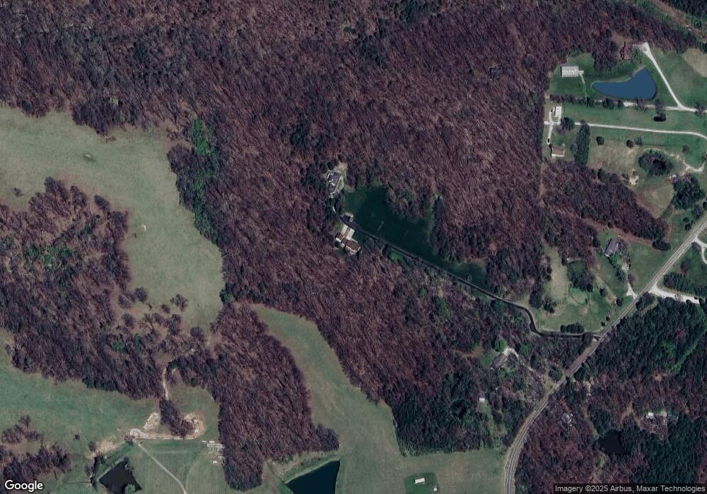
Map
Nearby Homes
- 11950 State Route N
- 9747 South Route N
- LOT 210 E Monaco Ct
- 214 E Brook Valley Dr
- LOT 209 E Monaco Ct
- LOT 201 E Brook Valley Dr
- LOT 243 Brook Valley Dr
- LOT 202 E Brook Valley Dr
- LOT 6 Lagos Dr
- LOT 242 E Brook Valley Dr
- LOT 222 S Lagos Dr
- LOT 239 S Lagos Dr
- LOT 240 Lagos Dr
- 1152 E Bluebird Ln
- LOT 205 S Lagos Dr
- LOT 237 S Lagos Dr
- 370 W High Point Ln
- 9600 S Smith Hatchery Rd
- 70 E High Point Ln
- TBD E Bluebird Ln
- 10231 S Route N
- 10233 South Route N
- 10233 S Route N
- 10231 N Route N
- 10265 S Route N
- 10023 S Route N
- 10001 S Route N
- 10121 S Route N
- 420 Robin Ridge
- 418 W Robin Ridge Rd
- 701 W Woodie Proctor Rd
- 416 W Robin Ridge Rd
- 10450 Rt N
- 10450 S Route N
- 10003 S Route N
- 422 W Robin Ridge Rd
- 422 Robin Ridge
- 424 W Robin Ridge Rd
- 10160 S Route N
- 10160 S Route N