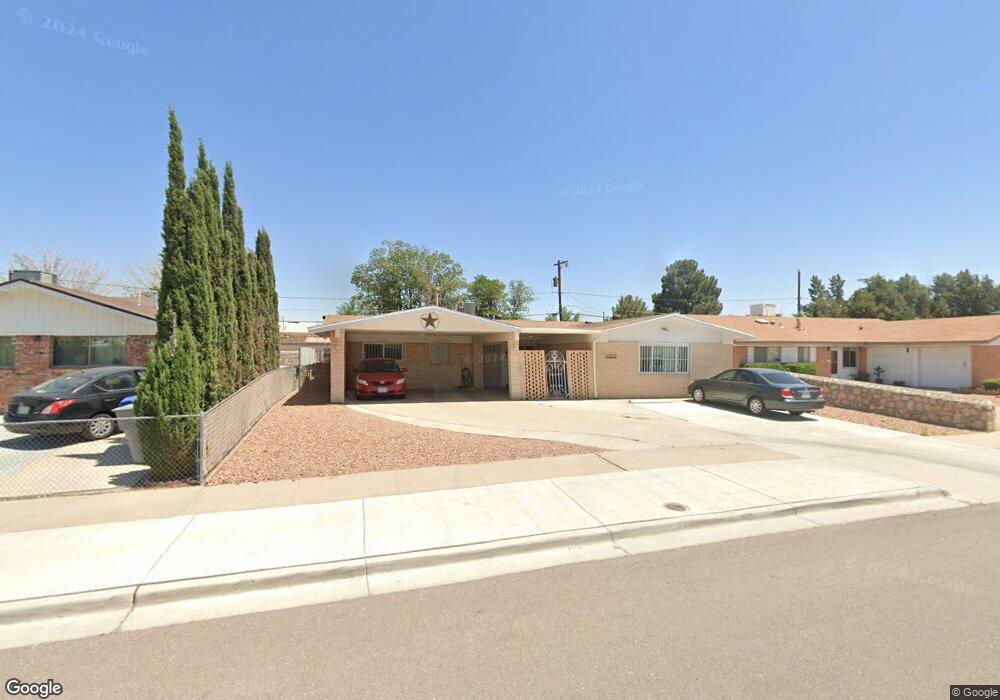
10232 Sumatra St El Paso, TX 79925
Eastwood NeighborhoodEstimated Value: $253,390 - $277,000
3
Beds
2
Baths
2,254
Sq Ft
$118/Sq Ft
Est. Value
About This Home
This home is located at 10232 Sumatra St, El Paso, TX 79925 and is currently estimated at $264,848, approximately $117 per square foot. 10232 Sumatra St is a home located in El Paso County with nearby schools including East Point Elementary School, Eastwood Middle School, and Eastwood High School.
Ownership History
Date
Name
Owned For
Owner Type
Purchase Details
Closed on
Apr 16, 2001
Sold by
Moreno Angel H and Moreno Emma S
Bought by
Heredia Salvador
Current Estimated Value
Home Financials for this Owner
Home Financials are based on the most recent Mortgage that was taken out on this home.
Original Mortgage
$89,650
Outstanding Balance
$32,728
Interest Rate
6.89%
Mortgage Type
VA
Estimated Equity
$232,120
Create a Home Valuation Report for This Property
The Home Valuation Report is an in-depth analysis detailing your home's value as well as a comparison with similar homes in the area
Home Values in the Area
Average Home Value in this Area
Purchase History
| Date | Buyer | Sale Price | Title Company |
|---|---|---|---|
| Heredia Salvador | -- | -- |
Source: Public Records
Mortgage History
| Date | Status | Borrower | Loan Amount |
|---|---|---|---|
| Open | Heredia Salvador | $89,650 |
Source: Public Records
Tax History Compared to Growth
Tax History
| Year | Tax Paid | Tax Assessment Tax Assessment Total Assessment is a certain percentage of the fair market value that is determined by local assessors to be the total taxable value of land and additions on the property. | Land | Improvement |
|---|---|---|---|---|
| 2025 | $2,543 | $238,927 | -- | -- |
| 2024 | $2,543 | $211,474 | -- | -- |
| 2023 | $2,424 | $192,249 | $0 | $0 |
| 2022 | $5,427 | $174,772 | $0 | $0 |
| 2021 | $5,165 | $158,884 | $22,536 | $136,348 |
| 2020 | $5,202 | $164,698 | $17,336 | $147,362 |
| 2018 | $5,128 | $164,890 | $17,336 | $147,554 |
| 2017 | $4,669 | $152,758 | $17,336 | $135,422 |
| 2016 | $4,669 | $152,758 | $17,336 | $135,422 |
| 2015 | $3,322 | $152,758 | $17,336 | $135,422 |
| 2014 | $3,322 | $151,667 | $17,336 | $134,331 |
Source: Public Records
Map
Nearby Homes
- 10140 Suez Dr
- 10145 Singapore Ave
- 3000 Woodall St
- 2412 Penwood Dr
- 10304 Blackwood Ave
- 10145 Camwood Dr
- 2912 Chaswood St
- 10301 Bayo Ave
- 3018 Wedgewood Dr
- 10309 Woodruff Ct
- 10512 Album Ave
- 9917 Honolulu Dr
- 2701 Brady Place
- 2801 Brady Place
- 10304 Woodruff Ct
- 9941 Debbie Dr
- 3028 Wedgewood Dr
- 3020 Cork Dr
- 3211 Drumond Rd
- 3202 Wedgewood Dr
- 10236 Sumatra St
- 10228 Sumatra St
- 10233 Singapore Ave
- 10241 Singapore Ave
- 10229 Singapore Ave
- 10240 Sumatra St
- 10224 Sumatra St
- 10231 Sumatra St Unit ABE
- 10231 Sumatra St Unit 1
- 10245 Singapore Ave
- 10235 Sumatra St
- 10225 Sumatra St
- 10225 Singapore Ave
- 10239 Sumatra St
- 10244 Sumatra St
- 10220 Sumatra St
- 10249 Singapore Ave
- 10221 Singapore Ave
- 10217 Sumatra St
- 10236 Singapore Ave