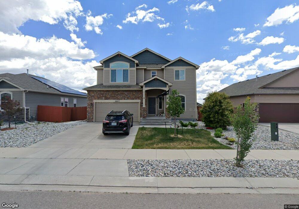
10233 Boulder Ridge Dr Peyton, CO 80831
Falcon NeighborhoodEstimated Value: $527,225 - $562,000
5
Beds
4
Baths
1,702
Sq Ft
$318/Sq Ft
Est. Value
About This Home
This home is located at 10233 Boulder Ridge Dr, Peyton, CO 80831 and is currently estimated at $541,306, approximately $318 per square foot. 10233 Boulder Ridge Dr is a home located in El Paso County with nearby schools including Meridian Ranch Elementary School, Falcon Middle School, and Falcon High School.
Ownership History
Date
Name
Owned For
Owner Type
Purchase Details
Closed on
Jan 27, 2022
Sold by
Stevenson Christopher K
Bought by
Cousins Mary Jo and Knouf Christy D
Current Estimated Value
Home Financials for this Owner
Home Financials are based on the most recent Mortgage that was taken out on this home.
Original Mortgage
$498,750
Interest Rate
3.56%
Mortgage Type
New Conventional
Purchase Details
Closed on
May 6, 2021
Sold by
Howard Nicholas D
Bought by
Stevenson Christopher K and Hatmaker Chasity Dawn
Home Financials for this Owner
Home Financials are based on the most recent Mortgage that was taken out on this home.
Original Mortgage
$488,994
Interest Rate
3.1%
Mortgage Type
VA
Purchase Details
Closed on
Mar 14, 2017
Sold by
Saint Aubyn Homes Llc
Bought by
Howard Nicholas D
Home Financials for this Owner
Home Financials are based on the most recent Mortgage that was taken out on this home.
Original Mortgage
$351,528
Interest Rate
4.19%
Mortgage Type
VA
Create a Home Valuation Report for This Property
The Home Valuation Report is an in-depth analysis detailing your home's value as well as a comparison with similar homes in the area
Home Values in the Area
Average Home Value in this Area
Purchase History
| Date | Buyer | Sale Price | Title Company |
|---|---|---|---|
| Cousins Mary Jo | $525,000 | Stewart Title Company | |
| Stevenson Christopher K | $478,000 | Empire Title Co Springs Llc | |
| Howard Nicholas D | $344,130 | Unified Title Co |
Source: Public Records
Mortgage History
| Date | Status | Borrower | Loan Amount |
|---|---|---|---|
| Closed | Cousins Mary Jo | $498,750 | |
| Previous Owner | Stevenson Christopher K | $488,994 | |
| Previous Owner | Howard Nicholas D | $351,528 |
Source: Public Records
Tax History
| Year | Tax Paid | Tax Assessment Tax Assessment Total Assessment is a certain percentage of the fair market value that is determined by local assessors to be the total taxable value of land and additions on the property. | Land | Improvement |
|---|---|---|---|---|
| 2025 | $3,295 | $35,070 | -- | -- |
| 2024 | $3,169 | $35,920 | $6,420 | $29,500 |
| 2022 | $2,794 | $27,680 | $5,020 | $22,660 |
| 2021 | $2,896 | $28,480 | $5,170 | $23,310 |
| 2020 | $2,734 | $24,930 | $4,680 | $20,250 |
| 2019 | $2,719 | $24,930 | $4,680 | $20,250 |
| 2018 | $2,681 | $24,330 | $4,280 | $20,050 |
| 2017 | $2,117 | $24,330 | $4,280 | $20,050 |
| 2016 | $30 | $290 | $290 | $0 |
Source: Public Records
Map
Nearby Homes
- 10214 Prairie Ridge Ct
- 13437 Park Meadows Dr
- 13256 Park Meadows Dr
- 13497 Park Meadows Dr
- 10371 Evening Vista Dr
- 13100 Stone Valley Dr
- 12868 Stone Valley Dr
- 9891 Hidden Ranch Ct
- 13190 Stone Peaks Way
- 9818 Hidden Ranch Ct
- 10427 Summer Ridge Dr
- 9962 Hidden Ranch Ct
- 10012 Emerald Vista Dr
- 12828 Stone Valley Dr
- 10522 Rolling Peaks Dr
- 12803 Stone Valley Dr
- 10553 Mt Lincoln Dr
- 10435 Rolling Peaks Dr
- 9833 Marble Canyon Way
- 9985 Morning Vista Dr
- 10249 Boulder Ridge Dr
- 10217 Boulder Ridge Dr
- 10222 Prairie Ridge Ct
- 10265 Boulder Ridge Dr
- 10230 Prairie Ridge Ct
- 10238 Prairie Ridge Ct
- 10201 Boulder Ridge Dr
- 10281 Boulder Ridge Dr
- 4047 Ryedale Way
- 4125 Wyedale Way
- 3969 Wyedale Way
- 3956 Ryedale Way
- 3969 Waydale Way
- 4029 Ryedale Way
- 4107 Wyedale Way
- 4120 Wyedale Way
- 3975 Wyedale Way
- 3963 Wyedale Way
- 3957 Wyedale Way
- 3951 Wyedale Way
Your Personal Tour Guide
Ask me questions while you tour the home.