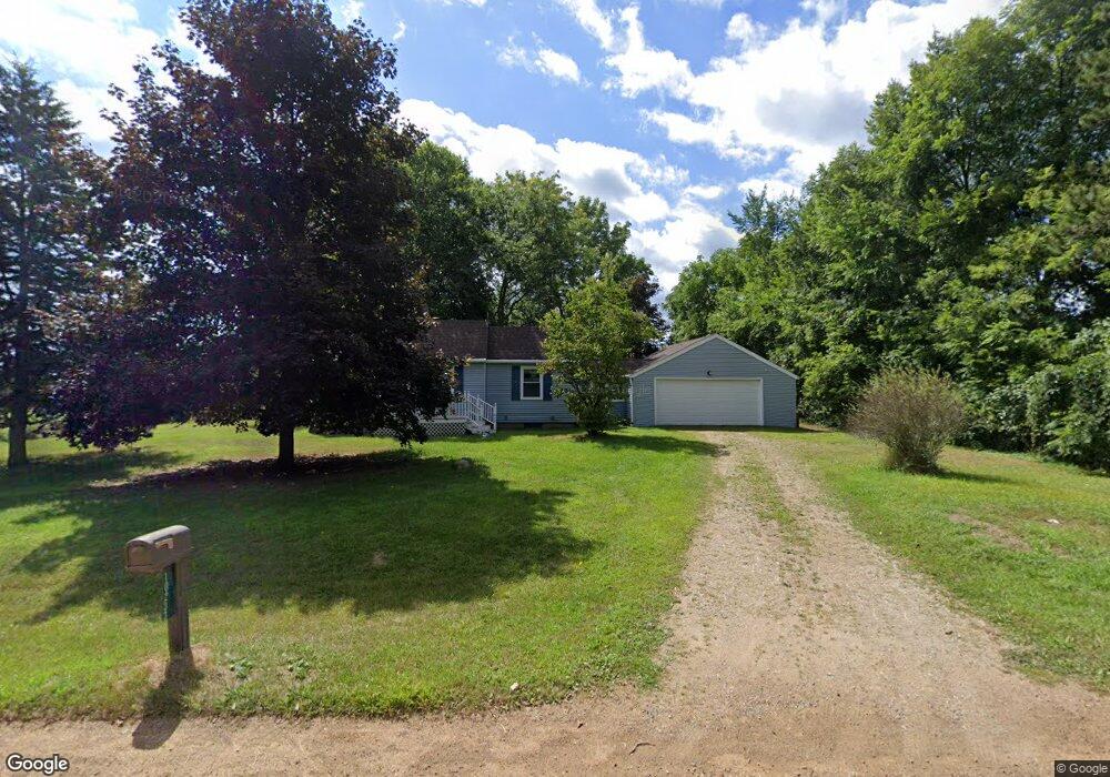
10233 Stoll Rd Haslett, MI 48840
Estimated Value: $156,000 - $247,000
Studio
--
Bath
--
Sq Ft
78,408
Sq Ft Lot
About This Home
This home is located at 10233 Stoll Rd, Haslett, MI 48840 and is currently estimated at $195,756. 10233 Stoll Rd is a home located in Shiawassee County with nearby schools including Perry Elementary School, Perry Middle School, and Perry High School.
Ownership History
Date
Name
Owned For
Owner Type
Purchase Details
Closed on
Jul 1, 2013
Sold by
Maher Gregory J and Maher Ashley
Bought by
Burkitt Joshua K
Current Estimated Value
Home Financials for this Owner
Home Financials are based on the most recent Mortgage that was taken out on this home.
Original Mortgage
$54,400
Outstanding Balance
$38,889
Interest Rate
3.83%
Estimated Equity
$156,867
Purchase Details
Closed on
Jan 22, 2010
Sold by
Totten Timothy J and Totten Melody
Bought by
Maher Gregory J
Home Financials for this Owner
Home Financials are based on the most recent Mortgage that was taken out on this home.
Original Mortgage
$67,340
Interest Rate
5.09%
Mortgage Type
Purchase Money Mortgage
Create a Home Valuation Report for This Property
The Home Valuation Report is an in-depth analysis detailing your home's value as well as a comparison with similar homes in the area
Purchase History
| Date | Buyer | Sale Price | Title Company |
|---|---|---|---|
| Burkitt Joshua K | $68,000 | -- | |
| Maher Gregory J | $66,000 | -- |
Source: Public Records
Mortgage History
| Date | Status | Borrower | Loan Amount |
|---|---|---|---|
| Open | Burkitt Joshua K | $54,400 | |
| Previous Owner | Maher Gregory J | $67,340 |
Source: Public Records
Tax History
| Year | Tax Paid | Tax Assessment Tax Assessment Total Assessment is a certain percentage of the fair market value that is determined by local assessors to be the total taxable value of land and additions on the property. | Land | Improvement |
|---|---|---|---|---|
| 2025 | $1,628 | $79,600 | $0 | $0 |
| 2024 | $1,507 | $77,300 | $0 | $0 |
| 2023 | $672 | $72,200 | $0 | $0 |
| 2022 | $1,415 | $56,100 | $0 | $0 |
| 2021 | $1,251 | $53,200 | $0 | $0 |
| 2020 | $1,248 | $49,000 | $0 | $0 |
| 2019 | $1,242 | $42,500 | $0 | $0 |
| 2018 | $1,172 | $42,100 | $0 | $0 |
| 2017 | $1,058 | $39,600 | $0 | $0 |
| 2016 | -- | $39,600 | $0 | $0 |
| 2015 | -- | $37,000 | $0 | $0 |
| 2014 | $5 | $35,200 | $0 | $0 |
Source: Public Records
Map
Nearby Homes
- 9561 Beard Rd
- 14271 Woodbury Rd
- 9595 E State Rd
- 10125 Redbud
- 0 Dunn Rd
- 16685 Tormiston Rd
- 16725 Tormiston Rd
- 8846 E State Rd
- 16677 Peacock Ln
- 610 Barry Rd
- 0 Warner Rd
- 6494 Zimmer Rd
- 7684 W Beard Rd
- 7561 Clark Rd
- 6046 Oakpark Trail
- 6299 Quail St
- 6403 E Reynolds Rd
- 6101 Oak Park Trail
- 6427 W Reynolds Rd
- 1153 Woodwind Trail
- 10233 Stoll Rd
- 10240 Stoll Rd
- 10166 Stoll Rd
- 10214 Stoll Rd
- 10281 Stoll Rd
- 10149 Stoll Rd
- 10110 Stoll Rd
- 10323 Stoll Rd
- 10063 Stoll Rd
- 10376 Stoll Rd
- 10311 W Old M 78
- 10351 Old State Highway 78
- 10351 W Old M 78
- 10395 Stoll Rd
- 10395 Stoll Rd
- 10387 M-78 Rd
- 10397 Old State Highway 78
- 10145 W Old M 78
- 10145 W Lansing Rd
- 10050 Stoll Rd
Your Personal Tour Guide
Ask me questions while you tour the home.