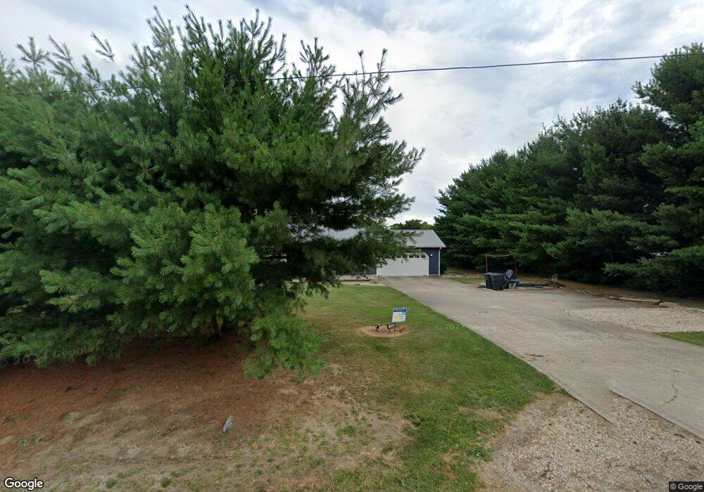
10235 State Route 28 Frankfort, OH 45628
Estimated Value: $265,557 - $337,000
--
Bed
2
Baths
1,196
Sq Ft
$250/Sq Ft
Est. Value
About This Home
This home is located at 10235 State Route 28, Frankfort, OH 45628 and is currently estimated at $298,889, approximately $249 per square foot. 10235 State Route 28 is a home located in Ross County with nearby schools including Adena Elementary School, Adena Middle School, and Adena High School.
Ownership History
Date
Name
Owned For
Owner Type
Purchase Details
Closed on
Jan 21, 2005
Sold by
Conley Audrey S and Conley Cora M
Bought by
Smith Jerry V and Smith Alena K
Current Estimated Value
Home Financials for this Owner
Home Financials are based on the most recent Mortgage that was taken out on this home.
Original Mortgage
$45,000
Interest Rate
5.71%
Mortgage Type
Stand Alone Second
Purchase Details
Closed on
Dec 28, 2004
Sold by
Smith Jerry V and Conley Audrey S
Bought by
Smith Jerry V and Smith Alena K
Home Financials for this Owner
Home Financials are based on the most recent Mortgage that was taken out on this home.
Original Mortgage
$45,000
Interest Rate
5.71%
Mortgage Type
Stand Alone Second
Purchase Details
Closed on
Sep 4, 1996
Bought by
Smith Jerry and Smith Alena K
Create a Home Valuation Report for This Property
The Home Valuation Report is an in-depth analysis detailing your home's value as well as a comparison with similar homes in the area
Home Values in the Area
Average Home Value in this Area
Purchase History
| Date | Buyer | Sale Price | Title Company |
|---|---|---|---|
| Smith Jerry V | -- | None Available | |
| Smith Jerry V | -- | None Available | |
| Smith Jerry | -- | -- |
Source: Public Records
Mortgage History
| Date | Status | Borrower | Loan Amount |
|---|---|---|---|
| Previous Owner | Smith Jerry V | $45,000 | |
| Previous Owner | Smith Jerry V | $35,000 |
Source: Public Records
Tax History Compared to Growth
Tax History
| Year | Tax Paid | Tax Assessment Tax Assessment Total Assessment is a certain percentage of the fair market value that is determined by local assessors to be the total taxable value of land and additions on the property. | Land | Improvement |
|---|---|---|---|---|
| 2024 | $2,327 | $67,450 | $4,950 | $62,500 |
| 2023 | $2,327 | $67,450 | $4,950 | $62,500 |
| 2022 | $2,259 | $67,450 | $4,950 | $62,500 |
| 2021 | $1,892 | $52,690 | $3,960 | $48,730 |
| 2020 | $1,943 | $52,690 | $3,960 | $48,730 |
| 2019 | $1,902 | $52,690 | $3,960 | $48,730 |
| 2018 | $1,571 | $42,680 | $2,720 | $39,960 |
| 2017 | $1,576 | $42,680 | $2,720 | $39,960 |
| 2016 | $1,531 | $42,680 | $2,720 | $39,960 |
| 2015 | $1,368 | $37,930 | $2,720 | $35,210 |
| 2014 | $1,333 | $37,930 | $2,720 | $35,210 |
| 2013 | $1,340 | $37,930 | $2,720 | $35,210 |
Source: Public Records
Map
Nearby Homes
- 10605 State Route 28
- 10597 State Route 28
- 0 State Route 28
- 7535 State Route 28
- 10792 State Route 28
- 0 N Sd Rt 28
- 0 N Sd St Rt 28
- 0 N Sd Rt 28 Unit 225026807
- 235 Lagerham Ln
- 2139 Poplar Ridge Rd
- 2025 Little Creek Rd
- 5678 Lower Twin Rd
- 10830 Lower Twin Rd
- 2371 Owl Creek Rd
- 4249 Ragged Ridge Rd
- 64 Springfield St
- 130 W Springfield St
- 40 N 2nd St
- 107 W Springfield St
- 139 W Springfield St
- 10293 Ohio 28
- 10296 State Route 28
- 65 Poplar Ridge Rd
- 10175 Ohio 28
- 10282 State Route 28
- 33 Poplar Ridge Rd
- 10303 Ohio 28
- 10400 State Route 28
- 10411 State Route 28
- 195 Davis Hill Rd
- 10400 Ohio 28
- 10468 State Route 28
- 10468 Ohio 28
- 10458 State Route 28
- 10460 State Route 28
- 10460 Ohio 28
- 10494 State Route 28
- 355 Poplar Ridge Rd
- 10464 Ohio 28
- 10464 State Route 28