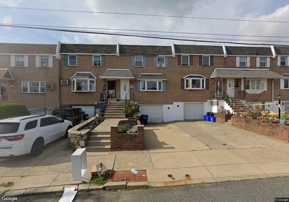
10236 W Keswick Rd Philadelphia, PA 19114
Northeast Philadelphia NeighborhoodEstimated Value: $323,852 - $370,000
3
Beds
2
Baths
1,560
Sq Ft
$223/Sq Ft
Est. Value
About This Home
This home is located at 10236 W Keswick Rd, Philadelphia, PA 19114 and is currently estimated at $347,213, approximately $222 per square foot. 10236 W Keswick Rd is a home located in Philadelphia County with nearby schools including A. L. Fitzpatrick School, George Washington High School, and Christ The King Elementary School.
Ownership History
Date
Name
Owned For
Owner Type
Purchase Details
Closed on
Aug 22, 2011
Sold by
Hammer David and Hammer Maureen
Bought by
Bradshaw Hilda
Current Estimated Value
Home Financials for this Owner
Home Financials are based on the most recent Mortgage that was taken out on this home.
Original Mortgage
$191,031
Outstanding Balance
$132,575
Interest Rate
4.62%
Mortgage Type
FHA
Estimated Equity
$214,638
Purchase Details
Closed on
Mar 25, 1997
Sold by
Hammer David and Mcnally Maureen
Bought by
Hammer David and Hammer Maureen
Create a Home Valuation Report for This Property
The Home Valuation Report is an in-depth analysis detailing your home's value as well as a comparison with similar homes in the area
Home Values in the Area
Average Home Value in this Area
Purchase History
| Date | Buyer | Sale Price | Title Company |
|---|---|---|---|
| Bradshaw Hilda | $196,000 | None Available | |
| Hammer David | -- | -- |
Source: Public Records
Mortgage History
| Date | Status | Borrower | Loan Amount |
|---|---|---|---|
| Open | Bradshaw Hilda | $191,031 |
Source: Public Records
Tax History Compared to Growth
Tax History
| Year | Tax Paid | Tax Assessment Tax Assessment Total Assessment is a certain percentage of the fair market value that is determined by local assessors to be the total taxable value of land and additions on the property. | Land | Improvement |
|---|---|---|---|---|
| 2025 | $3,406 | $309,400 | $61,880 | $247,520 |
| 2024 | $3,406 | $309,400 | $61,880 | $247,520 |
| 2023 | $3,406 | $243,300 | $48,660 | $194,640 |
| 2022 | $2,352 | $198,300 | $48,660 | $149,640 |
| 2021 | $2,982 | $0 | $0 | $0 |
| 2020 | $2,982 | $0 | $0 | $0 |
| 2019 | $2,808 | $0 | $0 | $0 |
| 2018 | $2,486 | $0 | $0 | $0 |
| 2017 | $2,486 | $0 | $0 | $0 |
| 2016 | $2,066 | $0 | $0 | $0 |
| 2015 | $1,978 | $0 | $0 | $0 |
| 2014 | -- | $177,600 | $62,183 | $115,417 |
| 2012 | -- | $23,424 | $4,597 | $18,827 |
Source: Public Records
Map
Nearby Homes
- 10210 W Keswick Rd
- 3326 Elliston Cir
- 3239 Red Lion Rd
- 3237 Red Lion Rd
- 3319 Morrell Ave
- 3225 Kilburn Rd
- 3300 Ashfield Ln
- 10730 Philcrest Rd
- 10852 Rayland Rd
- 10012 Warfield Place
- 3411 Morrell Ave
- 3212 Saxon Place
- 10935 Carey Plaza
- 3202 Thornbrook Place
- 9838 Legion St Unit 5
- 9838 Legion St Unit 7
- 9838 Legion St Unit 1
- 9838 Legion St Unit 4
- 3559 Churchill Ln
- 3701 President St
- 10238 W Keswick Rd
- 10234 W Keswick Rd
- 10232 W Keswick Rd
- 10240 W Keswick Rd
- 10242 W Keswick Rd
- 10244 W Keswick Rd
- 10228 W Keswick Rd
- 10246 W Keswick Rd
- 10226 W Keswick Rd
- 10224 W Keswick Rd
- 3301 Elliston Cir
- 10222 W Keswick Rd
- 3303 Elliston Cir
- 10220 W Keswick Rd
- 10221 W Keswick Rd
- 3305 Elliston Cir
- 3298 Red Lion Rd
- 10218 W Keswick Rd
- 3307 Elliston Cir
- 3296 Red Lion Rd