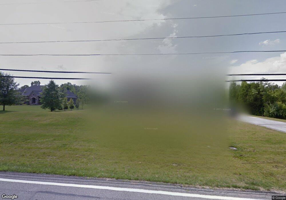
10239 Humphrey Rd Cincinnati, OH 45242
Remington-Lake Isabella NeighborhoodEstimated Value: $1,625,000 - $1,942,000
4
Beds
4
Baths
5,333
Sq Ft
$337/Sq Ft
Est. Value
About This Home
This home is located at 10239 Humphrey Rd, Cincinnati, OH 45242 and is currently estimated at $1,795,936, approximately $336 per square foot. 10239 Humphrey Rd is a home located in Hamilton County with nearby schools including Edwin H Greene Intermediate Middle School, Sycamore Junior High School, and Sycamore High School.
Ownership History
Date
Name
Owned For
Owner Type
Purchase Details
Closed on
Aug 31, 2016
Sold by
Lemmerman Cheri P and Lemmerman Neal E
Bought by
Lemmerman Revocable Trust and Cheri P Lemmerman
Current Estimated Value
Purchase Details
Closed on
Jan 31, 2013
Sold by
Land Resource Llc
Bought by
Lemmerman Neal E and Lemmerman Cheri P
Home Financials for this Owner
Home Financials are based on the most recent Mortgage that was taken out on this home.
Original Mortgage
$217,500
Interest Rate
3.3%
Mortgage Type
Unknown
Create a Home Valuation Report for This Property
The Home Valuation Report is an in-depth analysis detailing your home's value as well as a comparison with similar homes in the area
Home Values in the Area
Average Home Value in this Area
Purchase History
| Date | Buyer | Sale Price | Title Company |
|---|---|---|---|
| Lemmerman Revocable Trust | -- | -- | |
| Lemmerman Cheri P | -- | -- | |
| Lemmerman Neal E | -- | Attorney |
Source: Public Records
Mortgage History
| Date | Status | Borrower | Loan Amount |
|---|---|---|---|
| Previous Owner | Lemmerman Neal E | $217,500 |
Source: Public Records
Tax History
| Year | Tax Paid | Tax Assessment Tax Assessment Total Assessment is a certain percentage of the fair market value that is determined by local assessors to be the total taxable value of land and additions on the property. | Land | Improvement |
|---|---|---|---|---|
| 2025 | $28,934 | $578,312 | $99,029 | $479,283 |
| 2024 | $28,086 | $578,312 | $99,029 | $479,283 |
| 2023 | $27,919 | $578,312 | $99,029 | $479,283 |
| 2022 | $28,759 | $484,666 | $105,742 | $378,924 |
| 2021 | $28,218 | $484,666 | $105,742 | $378,924 |
| 2020 | $28,432 | $484,666 | $105,742 | $378,924 |
| 2019 | $27,418 | $448,763 | $97,909 | $350,854 |
| 2018 | $26,372 | $448,763 | $97,909 | $350,854 |
| 2017 | $24,733 | $448,763 | $97,909 | $350,854 |
| 2016 | $26,290 | $340,306 | $101,217 | $239,089 |
| 2015 | $18,270 | $340,306 | $101,217 | $239,089 |
| 2014 | $5,391 | $101,217 | $101,217 | $0 |
| 2013 | $5,555 | $101,213 | $101,213 | $0 |
Source: Public Records
Map
Nearby Homes
- 10564 Stablehand Dr
- 9274 Solon Dr
- 8905 Hopewell Rd
- 10514 Hopewoods Ct
- 8736 Tiburon Dr
- 9248 Link Rd
- 9561 Loveland Madeira Rd
- 9068 Link Rd
- 8866 Humphrey St
- 8765 Weller Rd
- 6705 Branch Hill Guinea Pike
- 9424 Kemper Grove Ln
- 8714 Weller Rd
- 382 Brier Creek Dr
- 6533 Conner Ln
- 9325 Loveland Madeira Rd
- 6681 Branch Hill Guinea Pike
- 330 Whispering Pines Dr
- 9970 Washington Ave
- 6207 Branch Hill Miamiville Rd
- 10239 Humphrey Rd Unit 2
- 10239 Humphrey Rd Unit 1
- 10221 Humphrey Rd Unit 2
- 10221 Humphrey Rd
- 10281 Humphrey Rd
- 10219 Stablehand Dr
- 10220 Stablehand Dr
- 10279 Stablehand Dr
- 10227 Stablehand Dr
- 10207 Humphrey Rd
- 9165 Cummings Farm Ln
- 10281 Stablehand Dr
- 9161 Cummings Farm Ln
- 10230 Stablehand Dr
- 9153 Cummings Farm Ln
- 10267 Stablehand Dr
- 9140 Whisperinghill Dr
- 10235 Stablehand Dr
- 10275 Stablehand Dr
- 13 Johnston Ln
Your Personal Tour Guide
Ask me questions while you tour the home.