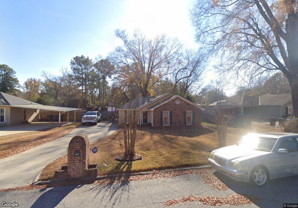
1024 53rd St Columbus, GA 31904
North Columbus NeighborhoodEstimated Value: $152,694 - $189,000
3
Beds
3
Baths
1,257
Sq Ft
$131/Sq Ft
Est. Value
About This Home
This home is located at 1024 53rd St, Columbus, GA 31904 and is currently estimated at $164,674, approximately $131 per square foot. 1024 53rd St is a home located in Muscogee County with nearby schools including River Road Elementary School, Arnold Middle School, and Jordan Vocational High School.
Ownership History
Date
Name
Owned For
Owner Type
Purchase Details
Closed on
Apr 25, 2007
Sold by
Harris Laura Cline
Bought by
Burks Shasta and Burks Fernandez
Current Estimated Value
Home Financials for this Owner
Home Financials are based on the most recent Mortgage that was taken out on this home.
Original Mortgage
$26,000
Interest Rate
5.84%
Mortgage Type
Stand Alone Second
Create a Home Valuation Report for This Property
The Home Valuation Report is an in-depth analysis detailing your home's value as well as a comparison with similar homes in the area
Home Values in the Area
Average Home Value in this Area
Purchase History
| Date | Buyer | Sale Price | Title Company |
|---|---|---|---|
| Burks Shasta | $130,000 | None Available |
Source: Public Records
Mortgage History
| Date | Status | Borrower | Loan Amount |
|---|---|---|---|
| Closed | Burks Shasta | $26,000 | |
| Open | Burks Shasta | $104,000 |
Source: Public Records
Tax History
| Year | Tax Paid | Tax Assessment Tax Assessment Total Assessment is a certain percentage of the fair market value that is determined by local assessors to be the total taxable value of land and additions on the property. | Land | Improvement |
|---|---|---|---|---|
| 2025 | $1,503 | $46,824 | $10,164 | $36,660 |
| 2024 | $2,476 | $46,824 | $10,164 | $36,660 |
| 2023 | $817 | $46,824 | $10,164 | $36,660 |
| 2022 | $1,566 | $36,020 | $7,628 | $28,392 |
| 2021 | $1,729 | $38,420 | $7,628 | $30,792 |
| 2020 | $1,559 | $38,420 | $7,628 | $30,792 |
| 2019 | $1,566 | $38,420 | $7,628 | $30,792 |
| 2018 | $1,566 | $38,420 | $7,628 | $30,792 |
| 2017 | $1,758 | $38,420 | $7,628 | $30,792 |
| 2016 | $1,580 | $51,569 | $8,812 | $42,757 |
| 2015 | $633 | $51,569 | $8,812 | $42,757 |
| 2014 | $634 | $51,569 | $8,812 | $42,757 |
| 2013 | -- | $51,569 | $8,812 | $42,757 |
Source: Public Records
Map
Nearby Homes
- 1028 53rd St
- 1020 53rd St
- 5257 Morris Ave
- 5232 Thomason Ave
- 5265 Morris Ave
- 5249 Morris Ave
- 1029 53rd St
- 1015 53rd St
- 5234 Thomason Ave
- 5238 Thomason Ave
- 1033 53rd St
- 5301 Morris Ave
- 5221 Morris Ave
- 5230 Thomason Ave
- 5300 Thomason Ave
- 1025 53rd St
- 5309 Morris Ave
- 5228 Thomason Ave
- 5236 Morris Ave
- 5240 Morris Ave
Your Personal Tour Guide
Ask me questions while you tour the home.