1024 E 450 North Cir American Fork, UT 84003
Estimated Value: $514,000 - $591,000
1
Bed
3
Baths
1,558
Sq Ft
$355/Sq Ft
Est. Value
About This Home
This home is located at 1024 E 450 North Cir, American Fork, UT 84003 and is currently estimated at $553,350, approximately $355 per square foot. 1024 E 450 North Cir is a home located in Utah County with nearby schools including Barratt Elementary School, American Fork Junior High School, and American Fork High School.
Ownership History
Date
Name
Owned For
Owner Type
Purchase Details
Closed on
Jun 9, 2022
Sold by
Reed Sr Lowell B and Reed Iris E
Bought by
Reed Family Living Trust
Current Estimated Value
Purchase Details
Closed on
May 3, 2022
Sold by
Reed Sr Lowell B and Reed Iris E
Bought by
Reed Family Living Trust
Purchase Details
Closed on
May 12, 2021
Sold by
Shimanek Melissa Smith and Smith Family Trust
Bought by
Reed Lowell B and Reed Iris E
Purchase Details
Closed on
Jun 14, 2004
Sold by
Miller Af Associates Lc
Bought by
Smith Milton E and Smith Valoy F
Create a Home Valuation Report for This Property
The Home Valuation Report is an in-depth analysis detailing your home's value as well as a comparison with similar homes in the area
Home Values in the Area
Average Home Value in this Area
Purchase History
| Date | Buyer | Sale Price | Title Company |
|---|---|---|---|
| Reed Family Living Trust | -- | None Listed On Document | |
| Reed Family Living Trust | -- | None Listed On Document | |
| Reed Lowell B | -- | Meridian Titel Co | |
| Smith Milton E | -- | Equity Title |
Source: Public Records
Tax History
| Year | Tax Paid | Tax Assessment Tax Assessment Total Assessment is a certain percentage of the fair market value that is determined by local assessors to be the total taxable value of land and additions on the property. | Land | Improvement |
|---|---|---|---|---|
| 2025 | $2,678 | $300,410 | -- | -- |
| 2024 | $2,678 | $297,550 | $0 | $0 |
| 2023 | $2,364 | $278,465 | $0 | $0 |
| 2022 | $2,314 | $269,060 | $0 | $0 |
| 2021 | $2,072 | $376,300 | $100,000 | $276,300 |
| 2020 | $2,016 | $355,000 | $100,000 | $255,000 |
| 2019 | $1,808 | $329,300 | $100,000 | $229,300 |
| 2018 | $1,891 | $329,300 | $100,000 | $229,300 |
| 2017 | $1,683 | $158,235 | $0 | $0 |
| 2016 | $1,622 | $141,680 | $0 | $0 |
| 2015 | -- | $136,400 | $0 | $0 |
| 2014 | $1,514 | $123,750 | $0 | $0 |
Source: Public Records
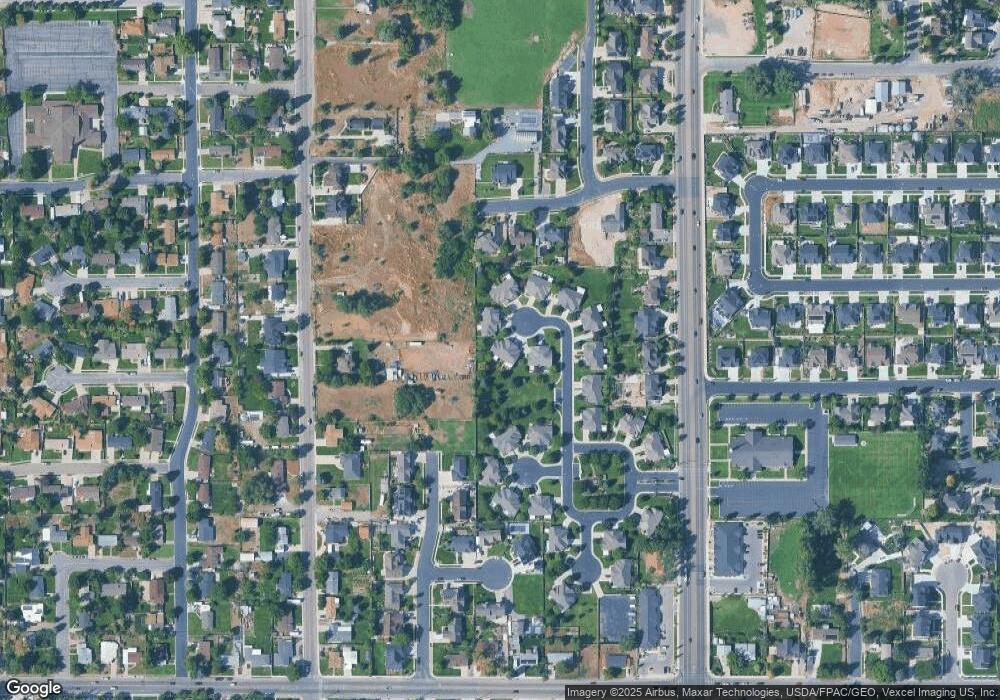
Map
Nearby Homes
- 1024 E 450 Cir N Unit 21
- 1026 E 450 North Cir
- 1026 E 450 Cir N Unit 22
- 1012 E 450 Cir N
- 1012 E 450 Cir N Unit 20
- 1012 E 450 North Cir
- 1038 E 450 North Cir
- 1017 E 450 North Cir
- 1038 E 450 Cir N Unit 23
- 1017 E 450 Cir N Unit 19
- 1042 E 450 North Cir
- 1042 E 450 Cir N Unit 24
- 1019 E 450 Cir N Unit 18
- 1019 E 450 North Cir
- 1021 E 450 North Cir
- 1021 E 450 Cir N Unit 17
- 1033 E 450 North Cir
- 1033 E 450 North Cir Unit 16
- 1035 E 450 Cir N
- 1035 E 450 Cir N Unit 15
Your Personal Tour Guide
Ask me questions while you tour the home.