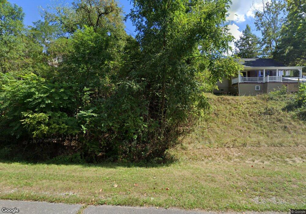
1024 Middlebrook Ave Staunton, VA 24401
Estimated Value: $268,000 - $290,000
3
Beds
3
Baths
1,520
Sq Ft
$184/Sq Ft
Est. Value
About This Home
This home is located at 1024 Middlebrook Ave, Staunton, VA 24401 and is currently estimated at $280,131, approximately $184 per square foot. 1024 Middlebrook Ave is a home located in Staunton City with nearby schools including Bessie Weller Elementary School, Shelburne Middle School, and Staunton High School.
Ownership History
Date
Name
Owned For
Owner Type
Purchase Details
Closed on
Feb 23, 2007
Sold by
Spear Builders Of Virginia Inc
Bought by
Moore Michelle L and Cook David L
Current Estimated Value
Home Financials for this Owner
Home Financials are based on the most recent Mortgage that was taken out on this home.
Original Mortgage
$129,412
Outstanding Balance
$77,985
Interest Rate
6.27%
Mortgage Type
FHA
Estimated Equity
$202,146
Create a Home Valuation Report for This Property
The Home Valuation Report is an in-depth analysis detailing your home's value as well as a comparison with similar homes in the area
Purchase History
| Date | Buyer | Sale Price | Title Company |
|---|---|---|---|
| Moore Michelle L | -- | None Available |
Source: Public Records
Mortgage History
| Date | Status | Borrower | Loan Amount |
|---|---|---|---|
| Open | Moore Michelle L | $129,412 |
Source: Public Records
Tax History
| Year | Tax Paid | Tax Assessment Tax Assessment Total Assessment is a certain percentage of the fair market value that is determined by local assessors to be the total taxable value of land and additions on the property. | Land | Improvement |
|---|---|---|---|---|
| 2025 | $2,234 | $245,530 | $31,930 | $213,600 |
| 2024 | $1,931 | $216,990 | $28,690 | $188,300 |
| 2023 | $1,931 | $216,990 | $28,690 | $188,300 |
| 2022 | $1,560 | $169,600 | $16,000 | $153,600 |
| 2021 | $1,560 | $169,600 | $16,000 | $153,600 |
| 2020 | $1,393 | $146,600 | $16,000 | $130,600 |
| 2019 | $1,393 | $146,600 | $16,000 | $130,600 |
| 2018 | $1,330 | $137,100 | $16,000 | $121,100 |
| 2017 | $1,330 | $137,100 | $16,000 | $121,100 |
| 2016 | $1,288 | $135,600 | $16,000 | $119,600 |
| 2015 | $1,288 | $135,600 | $16,000 | $119,600 |
| 2014 | $1,260 | $132,600 | $16,000 | $116,600 |
Source: Public Records
Map
Nearby Homes
- 1-7a Lacy King Way
- TBD Parcel 1-7 Lacy King Way
- 912 Moore St
- 900 Geoffrey St
- 721 Paul St
- 919 Stuart St
- 901 Ritchie Blvd
- 415 Jersey St
- 324 Green St
- 635 & 633 Stuart St
- 321 Westwood Blvd
- 108 W Peabody St
- 606 Winthrop St
- 603 Calvert St
- 5 Montgomery Ave
- 1012 W Beverley St
- 645 W Frederick St
- 309 W Beverley St
- 1202 W Beverley St
- 17 N Washington St
- 1022 Middlebrook Ave
- 1028 Middlebrook Ave
- 1020 Middlebrook Ave
- 1023 Blackburn St
- 1018 Middlebrook Ave
- 1021 Blackburn St
- 1016 Middlebrook Ave
- 1016 Middlebrook Ave Unit (Lot 9)
- 1019 Blackburn St
- 1014 Middlebrook Ave
- 1014 Middlebrook Ave Unit (Lot 8)
- 1100 Middlebrook Ave
- 1017 Blackburn St
- 1012 Middlebrook Ave
- 1022 Blackburn St
- 1018 Blackburn St
- 1020 Blackburn St
- 1010 Middlebrook Ave
- 1016 Blackburn St
- 1015 Blackburn St
Your Personal Tour Guide
Ask me questions while you tour the home.