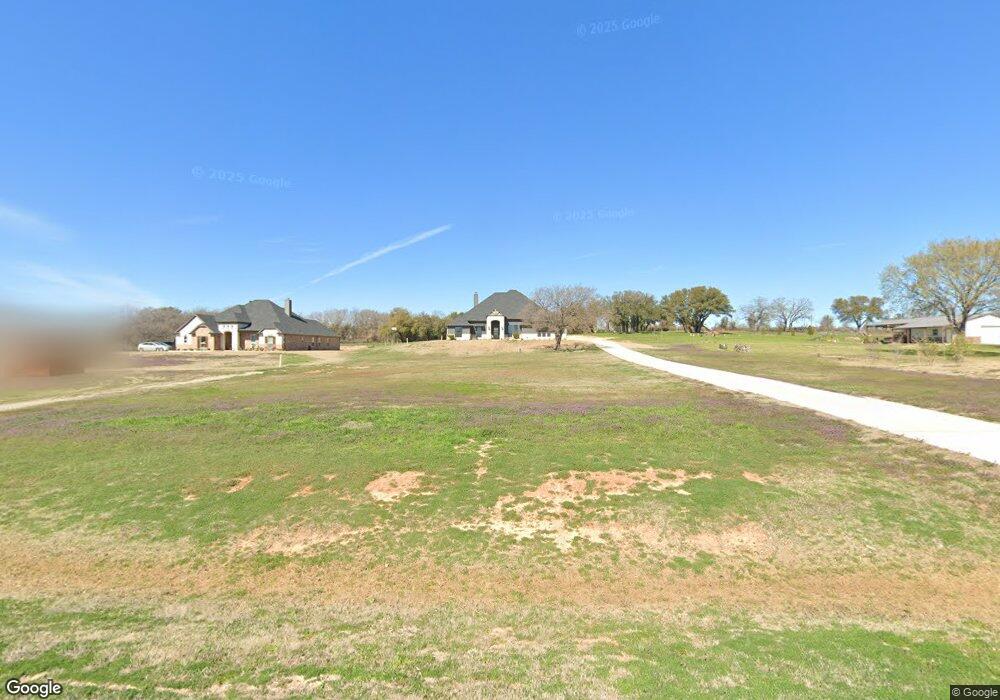
1024 Moriah Rd Weatherford, TX 76087
Estimated Value: $535,486 - $646,000
--
Bed
--
Bath
2,437
Sq Ft
$243/Sq Ft
Est. Value
About This Home
This home is located at 1024 Moriah Rd, Weatherford, TX 76087 and is currently estimated at $593,372, approximately $243 per square foot. 1024 Moriah Rd is a home with nearby schools including Curtis Elementary School, Hall Middle School, and Weatherford High School.
Ownership History
Date
Name
Owned For
Owner Type
Purchase Details
Closed on
Sep 10, 2021
Sold by
Brookson Builders Llc
Bought by
Watson Kenneth E and Bouza Cristina
Current Estimated Value
Home Financials for this Owner
Home Financials are based on the most recent Mortgage that was taken out on this home.
Original Mortgage
$391,500
Outstanding Balance
$356,236
Interest Rate
2.8%
Mortgage Type
New Conventional
Estimated Equity
$237,136
Purchase Details
Closed on
Dec 3, 2019
Sold by
Moriah Farms Estates Llc
Bought by
Brookson Builders Llc
Home Financials for this Owner
Home Financials are based on the most recent Mortgage that was taken out on this home.
Original Mortgage
$120,000
Interest Rate
3.75%
Mortgage Type
Commercial
Create a Home Valuation Report for This Property
The Home Valuation Report is an in-depth analysis detailing your home's value as well as a comparison with similar homes in the area
Home Values in the Area
Average Home Value in this Area
Purchase History
| Date | Buyer | Sale Price | Title Company |
|---|---|---|---|
| Watson Kenneth E | -- | Rtc | |
| Brookson Builders Llc | -- | None Available |
Source: Public Records
Mortgage History
| Date | Status | Borrower | Loan Amount |
|---|---|---|---|
| Open | Watson Kenneth E | $391,500 | |
| Previous Owner | Brookson Builders Llc | $120,000 |
Source: Public Records
Tax History Compared to Growth
Tax History
| Year | Tax Paid | Tax Assessment Tax Assessment Total Assessment is a certain percentage of the fair market value that is determined by local assessors to be the total taxable value of land and additions on the property. | Land | Improvement |
|---|---|---|---|---|
| 2025 | $8,672 | $539,590 | $125,000 | $414,590 |
| 2024 | $8,672 | $532,340 | $125,000 | $407,340 |
| 2023 | $8,672 | $532,340 | $125,000 | $407,340 |
| 2022 | $7,383 | $396,570 | $90,000 | $306,570 |
| 2021 | $1,272 | $63,000 | $63,000 | $0 |
| 2020 | $700 | $34,490 | $34,490 | $0 |
Source: Public Records
Map
Nearby Homes
- 1009 Old Oaks Ct
- 1041 Old Oaks Ct
- 1008 Old Oaks Ct
- 8135 Floor Plan at Old Oaks
- 8136 Floor Plan at Old Oaks
- 8137 Floor Plan at Old Oaks
- 8130 Floor Plan at Old Oaks
- 8125 Floor Plan at Old Oaks
- 8108 EP Floor Plan at Old Oaks
- 8126 Floor Plan at Old Oaks
- 8113 Floor Plan at Old Oaks
- 8121 Floor Plan at Old Oaks
- TBD Shanes Ln
- 269 Harmony Rd
- 109 N Silver Saddle Trail
- 200 Leea Ln
- 108 N Silver Saddle Trail
- 130 Sunburst Ct
- 622 Harmony Cir
- 3147 Tin Top Rd