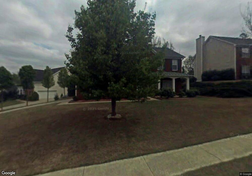
1024 Rolling Forest Ln Unit 2 Lilburn, GA 30047
Estimated Value: $444,896 - $479,000
4
Beds
3
Baths
2,604
Sq Ft
$178/Sq Ft
Est. Value
About This Home
This home is located at 1024 Rolling Forest Ln Unit 2, Lilburn, GA 30047 and is currently estimated at $462,724, approximately $177 per square foot. 1024 Rolling Forest Ln Unit 2 is a home located in Gwinnett County with nearby schools including Camp Creek Elementary School, Trickum Middle School, and Parkview High School.
Ownership History
Date
Name
Owned For
Owner Type
Purchase Details
Closed on
Sep 3, 1999
Sold by
Mehta Rashmin S
Bought by
Mehta Rashmin S and Mehta Hansa R
Current Estimated Value
Home Financials for this Owner
Home Financials are based on the most recent Mortgage that was taken out on this home.
Original Mortgage
$142,800
Interest Rate
7.73%
Mortgage Type
New Conventional
Create a Home Valuation Report for This Property
The Home Valuation Report is an in-depth analysis detailing your home's value as well as a comparison with similar homes in the area
Home Values in the Area
Average Home Value in this Area
Purchase History
| Date | Buyer | Sale Price | Title Company |
|---|---|---|---|
| Mehta Rashmin S | -- | -- | |
| Mehta Rashmin S | $168,000 | -- | |
| Southfork Homes Inc | $39,000 | -- |
Source: Public Records
Mortgage History
| Date | Status | Borrower | Loan Amount |
|---|---|---|---|
| Previous Owner | Southfork Homes Inc | $142,800 |
Source: Public Records
Tax History Compared to Growth
Tax History
| Year | Tax Paid | Tax Assessment Tax Assessment Total Assessment is a certain percentage of the fair market value that is determined by local assessors to be the total taxable value of land and additions on the property. | Land | Improvement |
|---|---|---|---|---|
| 2025 | -- | $171,400 | $30,000 | $141,400 |
| 2024 | -- | $162,040 | $30,000 | $132,040 |
| 2023 | $981 | $162,520 | $36,000 | $126,520 |
| 2022 | $0 | $149,280 | $30,800 | $118,480 |
| 2021 | $1,079 | $108,720 | $23,360 | $85,360 |
| 2020 | $1,079 | $102,160 | $20,000 | $82,160 |
| 2019 | $2,846 | $102,160 | $20,000 | $82,160 |
| 2018 | $2,846 | $86,840 | $17,000 | $69,840 |
| 2016 | $2,878 | $87,200 | $17,600 | $69,600 |
| 2015 | $2,809 | $83,040 | $16,000 | $67,040 |
| 2014 | -- | $81,040 | $16,000 | $65,040 |
Source: Public Records
Map
Nearby Homes
- 1017 Rolling Forest Ln
- 1296 Mandalay Ct SW
- 4449 Amberleaf Walk
- 4271 Weston Dr SW
- 1093 Hasty Ct SW
- 4367 Cedar Wood Dr SW
- 4254 Cedar Creek Trail SW Unit 8
- 1178 Carla Joe Dr SW
- 4307 Cedar Wood Dr SW
- 1296 Lake Lucerne Rd SW
- 4245 Cedar Creek Trail SW
- 871 Cedar Trace SW
- 4327 Saint Michaels Dr SW
- 4582 Warrior Trail SW
- 1043 Wash Lee Dr SW
- 4702 Sequoia Dr SW
- 4537 Timber Hill Ct Unit 2
- 1014 Rolling Forest Ln
- 0 Timber Hill Ct Unit 8875886
- 4527 Timber Hill Ct
- 4542 Timber Hill Ct
- 1004 Rolling Forest Ln Unit 2
- 4553 Creek Forest Ct
- 4522 Timber Hill Ct Unit 2
- 4517 Timber Hill Ct Unit 2
- 1044 Rolling Forest Ln Unit 2
- 4573 Creek Forest Ct Unit 2
- 4512 Timber Hill Ct
- 997 Rolling Forest Ln Unit 2
- 1047 Rolling Forest Ln
- 4593 Creek Forest Ct Unit 2
- 1054 Rolling Forest Ln
- 4502 Timber Hill Ct
- 984 Rolling Forest Ln
- 4564 Creek Forest Ct Unit 2