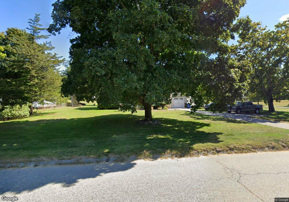
1024 Upper Maple St Dayville, CT 06241
Estimated Value: $298,000 - $382,017
4
Beds
2
Baths
1,859
Sq Ft
$185/Sq Ft
Est. Value
About This Home
This home is located at 1024 Upper Maple St, Dayville, CT 06241 and is currently estimated at $343,504, approximately $184 per square foot. 1024 Upper Maple St is a home located in Windham County with nearby schools including Killingly Central School, Killingly Memorial School, and Killingly Intermediate School.
Ownership History
Date
Name
Owned For
Owner Type
Purchase Details
Closed on
Sep 28, 2001
Sold by
Kania Muriel
Bought by
Ericson Heath William
Current Estimated Value
Create a Home Valuation Report for This Property
The Home Valuation Report is an in-depth analysis detailing your home's value as well as a comparison with similar homes in the area
Home Values in the Area
Average Home Value in this Area
Purchase History
| Date | Buyer | Sale Price | Title Company |
|---|---|---|---|
| Ericson Heath William | $118,000 | -- | |
| Ericson Heath William | $118,000 | -- |
Source: Public Records
Mortgage History
| Date | Status | Borrower | Loan Amount |
|---|---|---|---|
| Open | Ericson Heath William | $152,000 | |
| Closed | Ericson Heath William | $30,000 | |
| Open | Ericson Heath William | $400,000 | |
| Closed | Ericson Heath William | $158,000 |
Source: Public Records
Tax History
| Year | Tax Paid | Tax Assessment Tax Assessment Total Assessment is a certain percentage of the fair market value that is determined by local assessors to be the total taxable value of land and additions on the property. | Land | Improvement |
|---|---|---|---|---|
| 2025 | $4,634 | $197,630 | $40,570 | $157,060 |
| 2024 | $4,362 | $197,630 | $40,570 | $157,060 |
| 2023 | $3,885 | $135,590 | $33,530 | $102,060 |
| 2022 | $3,649 | $135,590 | $33,530 | $102,060 |
| 2021 | $3,649 | $135,590 | $33,530 | $102,060 |
| 2020 | $3,571 | $135,590 | $33,530 | $102,060 |
| 2019 | $3,642 | $135,590 | $33,530 | $102,060 |
| 2017 | $3,173 | $108,640 | $27,440 | $81,200 |
| 2016 | $3,163 | $108,640 | $27,440 | $81,200 |
| 2015 | $3,184 | $108,640 | $27,440 | $81,200 |
| 2014 | $3,097 | $108,640 | $27,440 | $81,200 |
Source: Public Records
Map
Nearby Homes
- 1567 Upper Maple St
- 350 Hartford Pike
- 3 Ferland Dr
- 438 Hartford Pike
- 11 Kenneth Dr
- 941 Upper Maple St
- 28 Cardinal Dr
- 117 State Ave
- 41 Boys Ave
- 55 Island Rd
- 14 Valley View Dr
- 16 Valley View Dr
- 279 Putnam Pike
- 30 Huntley Rd
- 23 Brookside Dr
- 61 Deerwood Dr
- 385 Putnam Pike
- 38-82 Ballouville Rd
- 842 Hartford Pike
- 48 Athol St Unit 48
- 1030 Upper Maple St
- Lot4 25 Colonial Dr
- Lot7 25 Colonial Dr
- Lot8 25 Colonial Dr
- 14 Colonial Dr
- 1034 Upper Maple St
- 5 Colonial Dr
- 1019 Upper Maple St
- 20 Colonial Dr
- 1014 Upper Maple St
- 1684 Upper Maple St
- 11 Colonial Dr
- 1029 Upper Maple St
- 1040 Upper Maple St
- 1033 Upper Maple St
- 25 Colonial Dr
- 25 Colonial Dr Unit Lot 4
- 25 Colonial Dr Unit Lot 7
- 25 Colonial Dr Unit Lot 8
- 1008 Upper Maple St
Your Personal Tour Guide
Ask me questions while you tour the home.