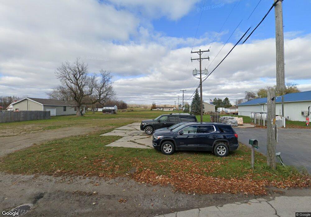
1024 W Anderson Rd Linwood, MI 48634
Estimated Value: $62,598 - $195,000
--
Bed
--
Bath
--
Sq Ft
6,534
Sq Ft Lot
About This Home
This home is located at 1024 W Anderson Rd, Linwood, MI 48634 and is currently estimated at $138,150. 1024 W Anderson Rd is a home located in Bay County with nearby schools including Linwood Elementary School, Pinconning Central Elementary School, and Pinconning Middle School.
Ownership History
Date
Name
Owned For
Owner Type
Purchase Details
Closed on
Apr 11, 2023
Sold by
Young Kenneth Russell
Bought by
Sequin Larry Lew
Current Estimated Value
Purchase Details
Closed on
Mar 19, 2023
Sold by
Young Kenneth Russell
Bought by
Sequin Larry Lew
Purchase Details
Closed on
Sep 7, 2018
Sold by
Bay County Treasurer
Bought by
Young Kenneth
Purchase Details
Closed on
May 10, 2018
Sold by
Matthew Erndt Sr
Bought by
Bay County Treasurer
Create a Home Valuation Report for This Property
The Home Valuation Report is an in-depth analysis detailing your home's value as well as a comparison with similar homes in the area
Home Values in the Area
Average Home Value in this Area
Purchase History
| Date | Buyer | Sale Price | Title Company |
|---|---|---|---|
| Sequin Larry Lew | $18,000 | None Listed On Document | |
| Sequin Larry Lew | $18,000 | None Listed On Document | |
| Young Kenneth | $3,900 | None Listed On Document | |
| Bay County Treasurer | -- | -- |
Source: Public Records
Tax History Compared to Growth
Tax History
| Year | Tax Paid | Tax Assessment Tax Assessment Total Assessment is a certain percentage of the fair market value that is determined by local assessors to be the total taxable value of land and additions on the property. | Land | Improvement |
|---|---|---|---|---|
| 2025 | $496 | $3,500 | $0 | $0 |
| 2024 | $134 | $3,150 | $0 | $0 |
| 2023 | $30 | $2,550 | $0 | $0 |
| 2022 | $136 | $2,650 | $0 | $0 |
| 2021 | $125 | $2,800 | $2,800 | $0 |
| 2020 | $123 | $2,700 | $2,700 | $0 |
| 2019 | $119 | $2,600 | $0 | $0 |
| 2018 | $114 | $2,650 | $0 | $0 |
| 2017 | $112 | $2,550 | $0 | $0 |
| 2016 | $112 | $2,500 | $0 | $2,500 |
| 2015 | -- | $2,300 | $0 | $2,300 |
| 2014 | -- | $2,300 | $0 | $2,300 |
Source: Public Records
Map
Nearby Homes
- 2218 S Nine Mile Rd
- 1255 S Nine Mile Rd
- 1560 N 8 Mile Rd
- 0 S 11 Mile Rd
- 4949 S Garfield Rd
- 2730 W Anderson Rd
- 2192 S Garfield Rd
- 2515 S 11 Mile Rd
- 1428 S 8 Mile Rd
- 1992 N 7 Mile Rd
- Vacant Land N Garfield Rd
- Vacant Land N Garfield Rd Unit V/L Parcel B Garfiel
- 0 E Prevo Rd
- 2671 N 8 Mile Rd
- V/L N Ehlers Rd
- 5096 N Waldo Rd
- 50 Schmidt Rd
- 1826 8 Mile Rd
- 2010 Eleven Mile
- 2041 S Carter Rd
- 1030 W Anderson Rd
- 1034 W Anderson Rd
- 1014 W Anderson Rd
- 1031 W Anderson Rd
- 493 N Garfield Rd
- 528 Crump St
- 528 Crump St
- 529 N Garfield Rd
- 1041 W Anderson Rd
- 1051 W Anderson Rd
- 545 N Garfield Rd
- 526 N Garfield Rd
- 530 Crump St
- 506 N Garfield Rd
- 1070 W Anderson Rd
- 459 N Garfield Rd
- 1022 Crump St
- 1075 W Anderson Rd
- 462 N Garfield Rd
- 964 W Anderson Rd