10240 Serenity Shores Dr NE Unit 13 Rockford, MI 49341
Estimated Value: $661,000 - $846,000
4
Beds
2
Baths
2,552
Sq Ft
$283/Sq Ft
Est. Value
About This Home
This home is located at 10240 Serenity Shores Dr NE Unit 13, Rockford, MI 49341 and is currently estimated at $721,017, approximately $282 per square foot. 10240 Serenity Shores Dr NE Unit 13 is a home located in Kent County with nearby schools including Valley View Elementary School, North Rockford Middle School, and Rockford High School Freshman Center.
Ownership History
Date
Name
Owned For
Owner Type
Purchase Details
Closed on
May 28, 2024
Sold by
Ramsay Steven T and Ramsay Julann D
Bought by
Ramsay Steven T and Ramsay Julann D
Current Estimated Value
Purchase Details
Closed on
Jan 23, 2004
Sold by
Benchmark Properties Llc
Bought by
Ramsay Steven T and Ramsay Julann D
Home Financials for this Owner
Home Financials are based on the most recent Mortgage that was taken out on this home.
Original Mortgage
$400,350
Interest Rate
5.88%
Mortgage Type
Purchase Money Mortgage
Create a Home Valuation Report for This Property
The Home Valuation Report is an in-depth analysis detailing your home's value as well as a comparison with similar homes in the area
Home Values in the Area
Average Home Value in this Area
Purchase History
| Date | Buyer | Sale Price | Title Company |
|---|---|---|---|
| Ramsay Steven T | -- | None Listed On Document | |
| Ramsay Steven T | $39,900 | -- |
Source: Public Records
Mortgage History
| Date | Status | Borrower | Loan Amount |
|---|---|---|---|
| Previous Owner | Ramsay Steven T | $400,350 |
Source: Public Records
Tax History Compared to Growth
Tax History
| Year | Tax Paid | Tax Assessment Tax Assessment Total Assessment is a certain percentage of the fair market value that is determined by local assessors to be the total taxable value of land and additions on the property. | Land | Improvement |
|---|---|---|---|---|
| 2025 | $4,716 | $338,600 | $0 | $0 |
| 2024 | $4,716 | $288,700 | $0 | $0 |
| 2023 | $4,512 | $259,700 | $0 | $0 |
| 2022 | $6,105 | $246,200 | $0 | $0 |
| 2021 | $5,951 | $243,400 | $0 | $0 |
| 2020 | $4,155 | $227,300 | $0 | $0 |
| 2019 | $5,821 | $216,500 | $0 | $0 |
| 2018 | $5,889 | $207,600 | $0 | $0 |
| 2017 | $5,734 | $190,100 | $0 | $0 |
| 2016 | $5,536 | $193,000 | $0 | $0 |
| 2015 | -- | $193,000 | $0 | $0 |
| 2013 | -- | $171,600 | $0 | $0 |
Source: Public Records
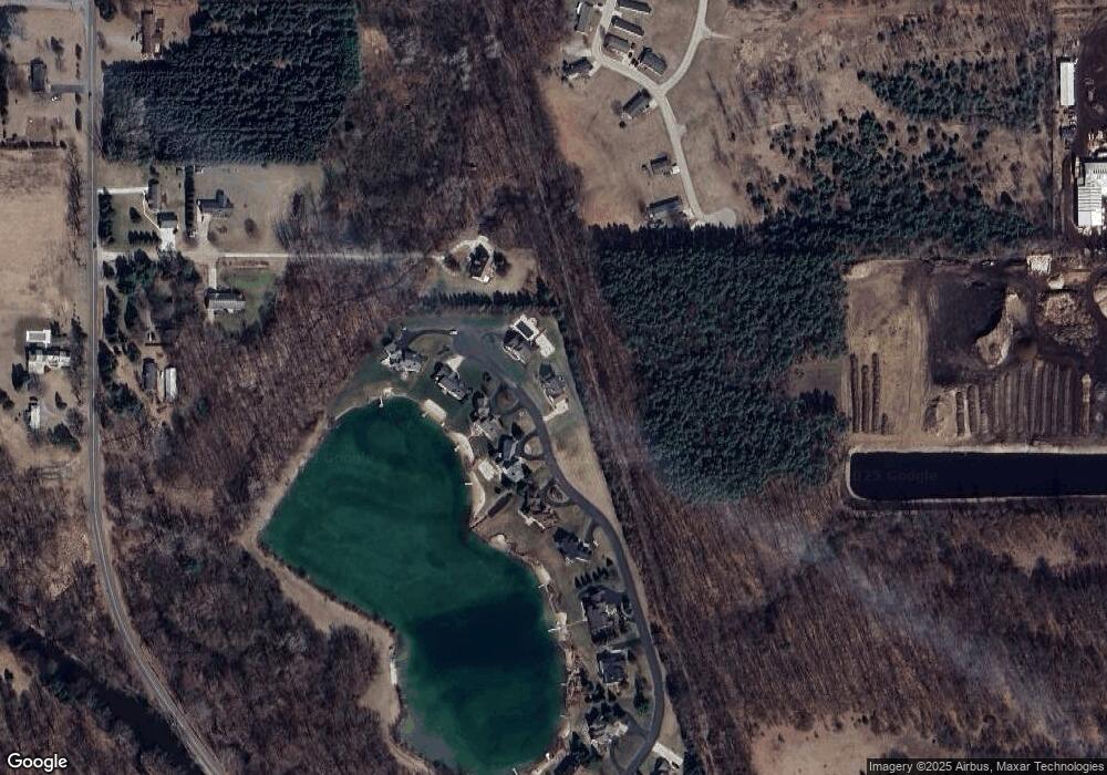
Map
Nearby Homes
- 10429 Summit Ave NE
- 10050 Sussex Ct NE
- 10425 Northland Dr NE
- 211 Rockford Park Dr NE Unit 7
- 211 Rockford Park Dr NE Unit 6
- 211 Rockford Park Dr NE Unit 5
- 211 Rockford Park Dr NE Unit 4
- 211 Rockford Park Dr NE Unit 3
- 211 Rockford Park Dr NE Unit 2
- 211 Rockford Park Dr NE Unit 1
- 4139 Whirlwind Dr NE Unit 60
- 10525 Edgerton Ave NE
- 5080 Brookestone Dr NE
- 10550 Wolven Ave NE
- 3883 11 Mile Rd NE
- 5400 13 Mile Rd NE
- 65 Greystone Ct NE
- The Jamestown Plan at Pine Rivers
- The Hearthside Plan at Pine Rivers
- The Preston Plan at Pine Rivers
- 10256 Serenity Shores Dr NE Unit 12
- 10241 Serenity Shores Dr NE Unit 9
- 10223 Serenity Shores Dr NE
- 10259 Serenity Shores Dr NE Unit 10
- 10207 Serenity Shores Dr NE Unit 7
- 4300 River Run Trail NE
- 10267 Serenity Shores Dr NE Unit 11
- 10185 Serenity Shores Dr NE Unit 6
- 4432 Moonlite Ln NE Unit 327
- 10161 Serenity Shores Dr NE Unit 5
- 10133 Serenity Shores Dr NE
- 10109 Serenity Shores Dr NE Unit 3
- 4250 River Run Trail NE
- 4243 River Run Trail NE
- 4230 13 Mile Rd NE
- 10250 Summit Ave NE
- 10077 Serenity Shores Dr NE Unit 2
- 10077 Serenity Shores Drive Dr NE
- 10092 Serenity Shores Dr NE Unit 14
- 10065 Serenity Shores Dr NE