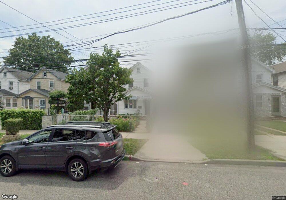
10242 189th St Hollis, NY 11423
Hollis NeighborhoodEstimated Value: $570,110 - $664,000
--
Bed
--
Bath
1,152
Sq Ft
$519/Sq Ft
Est. Value
About This Home
This home is located at 10242 189th St, Hollis, NY 11423 and is currently estimated at $598,278, approximately $519 per square foot. 10242 189th St is a home located in Queens County with nearby schools including P.S. 118 Lorraine Hansberry, I.S. 192 The Linden, and Wellspring Elementary & Middle.
Ownership History
Date
Name
Owned For
Owner Type
Purchase Details
Closed on
Feb 21, 2020
Sold by
Mccray Luccile and Mccray Purcell
Bought by
Biswas Poly Karabi and Kumar Das Saroj
Current Estimated Value
Home Financials for this Owner
Home Financials are based on the most recent Mortgage that was taken out on this home.
Original Mortgage
$360,000
Interest Rate
3.2%
Mortgage Type
Unknown
Create a Home Valuation Report for This Property
The Home Valuation Report is an in-depth analysis detailing your home's value as well as a comparison with similar homes in the area
Home Values in the Area
Average Home Value in this Area
Purchase History
| Date | Buyer | Sale Price | Title Company |
|---|---|---|---|
| Biswas Poly Karabi | $450,000 | -- |
Source: Public Records
Mortgage History
| Date | Status | Borrower | Loan Amount |
|---|---|---|---|
| Previous Owner | Biswas Poly Karabi | $360,000 |
Source: Public Records
Tax History Compared to Growth
Tax History
| Year | Tax Paid | Tax Assessment Tax Assessment Total Assessment is a certain percentage of the fair market value that is determined by local assessors to be the total taxable value of land and additions on the property. | Land | Improvement |
|---|---|---|---|---|
| 2025 | $4,663 | $24,576 | $7,142 | $17,434 |
| 2024 | $4,663 | $23,216 | $7,106 | $16,110 |
| 2023 | $4,492 | $22,363 | $5,835 | $16,528 |
| 2022 | $4,212 | $32,760 | $9,660 | $23,100 |
| 2021 | $4,312 | $34,680 | $9,660 | $25,020 |
| 2020 | $4,335 | $31,500 | $9,660 | $21,840 |
| 2019 | $3,152 | $29,520 | $9,660 | $19,860 |
| 2018 | $2,932 | $18,636 | $7,793 | $10,843 |
| 2017 | $3,060 | $17,583 | $9,015 | $8,568 |
| 2016 | $2,887 | $17,583 | $9,015 | $8,568 |
| 2015 | $1,672 | $17,067 | $8,606 | $8,461 |
| 2014 | $1,672 | $16,123 | $9,220 | $6,903 |
Source: Public Records
Map
Nearby Homes
- 10220 189th St
- 102-35 187th St
- 10211 187th St
- 190-30 103rd Ave
- 185-05 Henderson Ave
- 184-15 Henderson Ave
- 188-14 Woodhull Ave
- 10533 Farmers Blvd
- 102-13 183rd Place
- 188-09 Jamaica Ave
- 19027 109th Rd
- 10532 192nd St
- 187-23 Brinkerhoff Ave
- 104-40 194th St
- 194-10 Hollis Ave
- 90-45 186th St
- 193-21 109th Rd
- 19319 109th Rd
- 90-62 187th St
- 184-09 Jamaica Ave
- 10244 189th St
- 10246 189th St
- 102-42 189th St
- 102-58 189th St
- 10250 189th St
- 10240 189th St
- 10238 189th St
- 10252 189th St
- 102-54 189th St
- 102-36 189th St
- 10236 189th St
- 10254 189th St
- 10241 188th St
- 10243 188th St
- 10239 188th St
- 10245 188th St
- 10237 188th St
- 10247 188th St
- 10243 188th St
- 10232 189th St