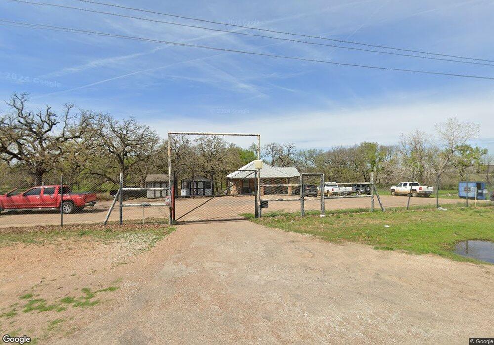
10244 W Interstate 20 Millsap, TX 76066
Estimated Value: $276,000
--
Bed
--
Bath
648
Sq Ft
$426/Sq Ft
Est. Value
About This Home
This home is located at 10244 W Interstate 20, Millsap, TX 76066 and is currently estimated at $276,000, approximately $425 per square foot. 10244 W Interstate 20 is a home located in Parker County with nearby schools including Millsap Elementary School, Millsap Middle School, and Millsap High School.
Ownership History
Date
Name
Owned For
Owner Type
Purchase Details
Closed on
Oct 10, 2008
Sold by
Geodynamics Inc
Bought by
Archway Millsap Venture Ltd
Current Estimated Value
Purchase Details
Closed on
May 13, 2008
Sold by
Mills Lee E
Bought by
Archway Millsap Venture Ltd
Purchase Details
Closed on
May 8, 2001
Sold by
Pringle Brantley
Bought by
Archway Millsap Venture Ltd
Purchase Details
Closed on
Jan 1, 1989
Bought by
Archway Millsap Venture Ltd
Create a Home Valuation Report for This Property
The Home Valuation Report is an in-depth analysis detailing your home's value as well as a comparison with similar homes in the area
Home Values in the Area
Average Home Value in this Area
Purchase History
| Date | Buyer | Sale Price | Title Company |
|---|---|---|---|
| Archway Millsap Venture Ltd | -- | -- | |
| Archway Millsap Venture Ltd | -- | -- | |
| Archway Millsap Venture Ltd | -- | -- | |
| Archway Millsap Venture Ltd | -- | -- |
Source: Public Records
Tax History Compared to Growth
Tax History
| Year | Tax Paid | Tax Assessment Tax Assessment Total Assessment is a certain percentage of the fair market value that is determined by local assessors to be the total taxable value of land and additions on the property. | Land | Improvement |
|---|---|---|---|---|
| 2025 | $2,324 | $76,130 | $13,300 | $62,830 |
| 2024 | $2,324 | $139,710 | $27,390 | $112,320 |
| 2023 | $2,324 | $139,710 | $27,390 | $112,320 |
| 2022 | $1,300 | $68,530 | $23,600 | $44,930 |
| 2021 | $1,426 | $68,530 | $23,600 | $44,930 |
| 2020 | $986 | $45,850 | $19,880 | $25,970 |
| 2019 | $1,411 | $61,170 | $19,880 | $41,290 |
| 2018 | $1,062 | $45,540 | $9,500 | $36,040 |
| 2017 | $1,100 | $45,540 | $9,500 | $36,040 |
| 2016 | $888 | $36,760 | $8,310 | $28,450 |
| 2015 | $280 | $11,740 | $8,310 | $3,430 |
| 2014 | $168 | $7,010 | $4,150 | $2,860 |
Source: Public Records
Map
Nearby Homes
- 6427 S Fm Rd 113
- 5288 Bennett Rd
- 711 Brannon Bridge Cir
- 4962 S Fm 113
- TBD Consolation
- 2350 Grindstone Rd
- 1350 Stephens Rd
- 430 Rio Rd
- 101 Consolation Dr
- 251 Tumbleweed Ct
- TBD B Consolation Dr
- TBD A Consolation Dr
- 940 Brazos Rock Rd
- 1200 Riverview Rd
- TBD Wolf Hollow
- 4475 Lazy Bend Rd
- 1240 Riverview Rd
- 606 Grindstone Rd
- 5845 Lazy Bend Rd
- TBD Grindstone Rd
- 10100 W Interstate 20
- 10010 W Interstate 20
- 10005 Wolf Hollow
- TBD I-20 Fm 113
- 6808 S Fm 113 Unit 113
- 6808 S Fm 113
- 9691 Wolf Hollow
- 10301 Wolf Hollow
- 6650 Farm To Market 113
- 138 Calle Encino Ln
- 6620 S Fm 113
- 6627 S Fm 113
- 6611 S Fm 113
- 6612 S Fm 113
- 6424 S Fm 113
- 117 Calle Encino Ln
- 3R Calle Encino Ln
- 0 Calle Encino Ln
- Lot 8 Calle Encino Ln
- Lot 7 Calle Encino Ln