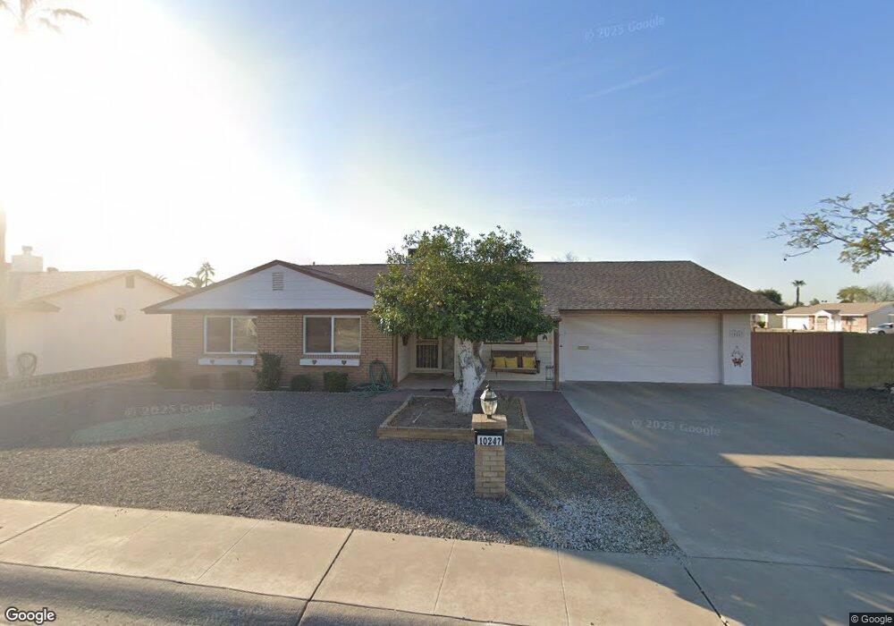
10247 W Clair Dr Sun City, AZ 85351
Estimated Value: $247,160 - $316,000
--
Bed
2
Baths
1,679
Sq Ft
$176/Sq Ft
Est. Value
About This Home
This home is located at 10247 W Clair Dr, Sun City, AZ 85351 and is currently estimated at $296,040, approximately $176 per square foot. 10247 W Clair Dr is a home located in Maricopa County with nearby schools including Desert Mirage Elementary School, Ombudsman - Northwest Charter, and Peoria Accelerated High School.
Ownership History
Date
Name
Owned For
Owner Type
Purchase Details
Closed on
Dec 7, 2021
Sold by
Cook Sharon L
Bought by
Cook Robert A
Current Estimated Value
Purchase Details
Closed on
Sep 18, 2019
Sold by
Cook Robert A and Cook Sharon L
Bought by
Cook Robert A and Cook Sharon L
Purchase Details
Closed on
Jan 16, 2002
Sold by
Hopper Rosalie M and Estate Of Gracie Mae Foster
Bought by
Cook Robert A and Cook Sharon L
Home Financials for this Owner
Home Financials are based on the most recent Mortgage that was taken out on this home.
Original Mortgage
$55,000
Interest Rate
7.13%
Mortgage Type
New Conventional
Purchase Details
Closed on
Nov 30, 2000
Sold by
Flyger Leland L and Flyger Kathryn E
Bought by
Foster Gracie Mae
Create a Home Valuation Report for This Property
The Home Valuation Report is an in-depth analysis detailing your home's value as well as a comparison with similar homes in the area
Home Values in the Area
Average Home Value in this Area
Purchase History
| Date | Buyer | Sale Price | Title Company |
|---|---|---|---|
| Cook Robert A | -- | None Available | |
| Cook Robert A | -- | None Listed On Document | |
| Cook Robert A | -- | None Listed On Document | |
| Cook Robert A | -- | None Available | |
| Cook Robert A | $87,000 | Capital Title Agency | |
| Foster Gracie Mae | $83,000 | Security Title Agency |
Source: Public Records
Mortgage History
| Date | Status | Borrower | Loan Amount |
|---|---|---|---|
| Previous Owner | Cook Robert A | $55,000 |
Source: Public Records
Tax History Compared to Growth
Tax History
| Year | Tax Paid | Tax Assessment Tax Assessment Total Assessment is a certain percentage of the fair market value that is determined by local assessors to be the total taxable value of land and additions on the property. | Land | Improvement |
|---|---|---|---|---|
| 2025 | $971 | $11,938 | -- | -- |
| 2024 | $870 | $11,370 | -- | -- |
| 2023 | $870 | $21,860 | $4,370 | $17,490 |
| 2022 | $813 | $17,020 | $3,400 | $13,620 |
| 2021 | $841 | $16,010 | $3,200 | $12,810 |
| 2020 | $819 | $14,100 | $2,820 | $11,280 |
| 2019 | $813 | $12,960 | $2,590 | $10,370 |
| 2018 | $786 | $11,510 | $2,300 | $9,210 |
| 2017 | $762 | $9,980 | $1,990 | $7,990 |
| 2016 | $397 | $9,400 | $1,880 | $7,520 |
| 2015 | $679 | $8,470 | $1,690 | $6,780 |
Source: Public Records
Map
Nearby Homes
- 10240 W Concord Ave
- 10341 W Clair Dr
- 10318 W Corte Del Sol Este Unit 21
- 10404 W Audrey Dr
- 10314 W Deanne Dr
- 10323 W Deanne Dr
- 10405 W Andover Ave
- 10410 W Audrey Dr Unit 8
- 10302 W Cheryl Dr Unit D
- 10414 W Audrey Dr
- 10034 W Concord Ave
- 10440 W Cheryl Dr
- 10102 W Deanne Dr Unit 6
- 10345 W Peoria Ave Unit 5
- 10417 W Deanne Dr Unit 5
- 10131 W Cheryl Dr Unit 6D
- 10166 W Cinnebar Ave
- 10614 N 103rd Ave
- 10426 W Deanne Dr Unit 15
- 10027 W Tarrytown Ave Unit 6
- 10241 W Clair Dr
- 10240 W Camden Ave Unit 6
- 10240 W Camden Ave
- 10234 W Camden Ave
- 10225 N 103rd Ave
- 10235 W Clair Dr
- 10301 W Clair Dr
- 10231 N 103rd Ave
- 10238 W Clair Dr
- 10226 W Camden Ave
- 10050 N 103rd Ave
- 10307 W Clair Dr
- 10302 W Clair Dr
- 10232 W Clair Dr
- 10229 W Clair Dr
- 10037 N 103rd Ave
- 10220 W Camden Ave
- 10044 N 103rd Ave
- 10309 W Clair Dr
- 10308 W Clair Dr