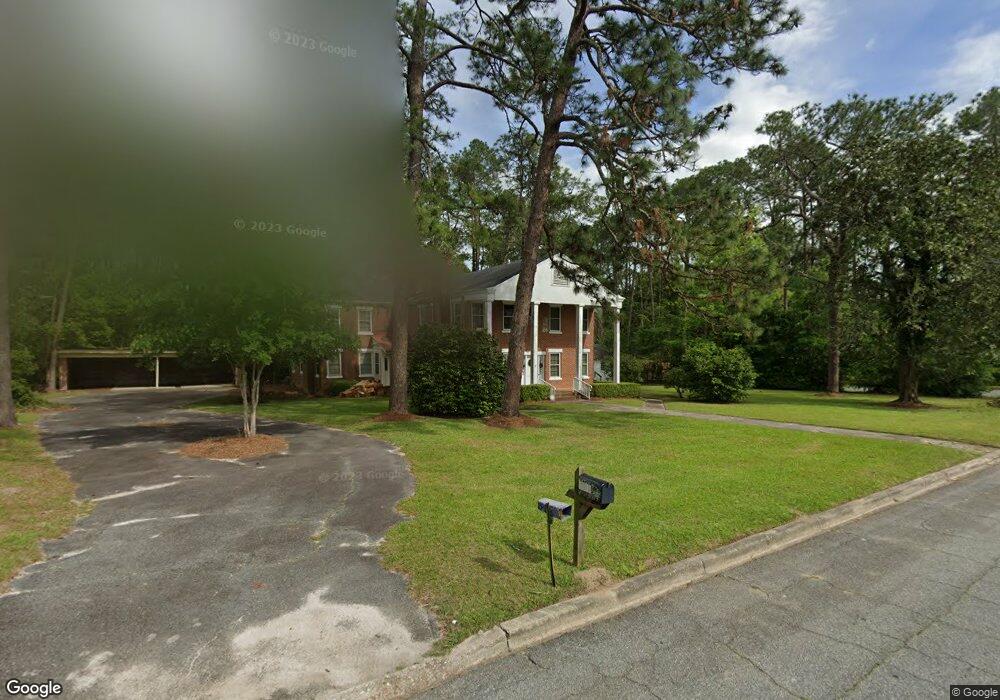
1025 4th St SW Moultrie, GA 31768
Estimated Value: $220,075 - $483,000
8
Beds
8
Baths
6,192
Sq Ft
$51/Sq Ft
Est. Value
About This Home
This home is located at 1025 4th St SW, Moultrie, GA 31768 and is currently estimated at $316,019, approximately $51 per square foot. 1025 4th St SW is a home located in Colquitt County with nearby schools including Stringfellow Elementary School, Willie J. Williams Middle School, and C.A. Gray Junior High School.
Ownership History
Date
Name
Owned For
Owner Type
Purchase Details
Closed on
Apr 3, 2023
Sold by
Johnson Grace W
Bought by
216 11Th Avenue Llc
Current Estimated Value
Home Financials for this Owner
Home Financials are based on the most recent Mortgage that was taken out on this home.
Original Mortgage
$148,800
Interest Rate
6.65%
Mortgage Type
New Conventional
Purchase Details
Closed on
Dec 31, 1997
Bought by
Johnson Joseph L
Purchase Details
Closed on
Sep 2, 1992
Bought by
Harrell Marvin E
Create a Home Valuation Report for This Property
The Home Valuation Report is an in-depth analysis detailing your home's value as well as a comparison with similar homes in the area
Purchase History
| Date | Buyer | Sale Price | Title Company |
|---|---|---|---|
| 216 11Th Avenue Llc | $186,000 | -- | |
| Johnson Joseph L | $70,000 | -- | |
| Harrell Marvin E | $50,000 | -- |
Source: Public Records
Mortgage History
| Date | Status | Borrower | Loan Amount |
|---|---|---|---|
| Closed | 216 11Th Avenue Llc | $148,800 |
Source: Public Records
Tax History
| Year | Tax Paid | Tax Assessment Tax Assessment Total Assessment is a certain percentage of the fair market value that is determined by local assessors to be the total taxable value of land and additions on the property. | Land | Improvement |
|---|---|---|---|---|
| 2025 | $3,681 | $127,856 | $5,361 | $122,495 |
| 2024 | $3,681 | $106,990 | $5,361 | $101,629 |
| 2023 | $2,516 | $76,057 | $5,361 | $70,696 |
| 2022 | $2,332 | $74,267 | $5,361 | $68,906 |
| 2021 | $1,045 | $35,465 | $4,554 | $30,911 |
| 2020 | $1,062 | $35,465 | $4,554 | $30,911 |
| 2019 | $1,199 | $35,465 | $4,554 | $30,911 |
| 2018 | $1,416 | $35,465 | $4,554 | $30,911 |
| 2017 | $1,187 | $35,465 | $4,554 | $30,911 |
| 2016 | $1,246 | $35,465 | $4,554 | $30,911 |
| 2015 | $1,248 | $35,465 | $4,554 | $30,911 |
| 2014 | $1,277 | $35,465 | $4,554 | $30,911 |
| 2013 | -- | $35,464 | $4,553 | $30,911 |
Source: Public Records
Map
Nearby Homes
- 1156 S Main St
- 209 7th Ave SW
- 922 1st St SE
- 1200 10th St SW
- 1315 9th St SW
- 1008 Highland Blvd
- 902 2nd St SE
- 321 5th Ave SW
- 919 2nd St SE
- 1416 9th St SW
- 1215 12th St SW
- 615 3rd St SE
- 1333 Fairview Dr
- 221 6th St SW
- 614 3rd Ave SW
- 1549 Ivy Ln
- 220 13th Ave SE
- 00 Southern Trail
- 200 8th St SW
- 310 1st Ave SW
Your Personal Tour Guide
Ask me questions while you tour the home.