Estimated Value: $386,000 - $582,000
Studio
--
Bath
--
Sq Ft
5,619
Sq Ft
About This Home
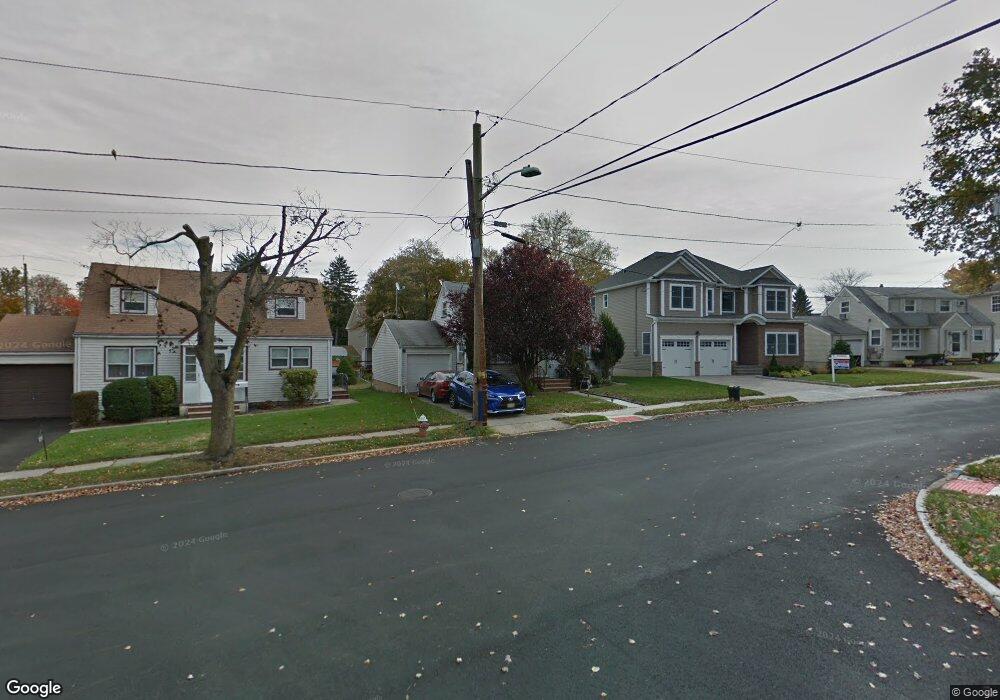
This home is located at 1025 Cranbrook Rd, Union, NJ 07083 and is currently estimated at $525,174. 1025 Cranbrook Rd is a home located in Union County with nearby schools including Livingston Elementary School, Union High School, and St Michael Parish School.
Ownership History
Date
Name
Owned For
Owner Type
Purchase Details
Closed on
Nov 27, 2006
Sold by
Mccarthy Brian
Bought by
Paramo Yasmin
Current Estimated Value
Home Financials for this Owner
Home Financials are based on the most recent Mortgage that was taken out on this home.
Original Mortgage
$288,000
Outstanding Balance
$173,046
Interest Rate
6.4%
Estimated Equity
$352,128
Purchase Details
Closed on
May 13, 2004
Sold by
Sendlein George
Bought by
Mccarthy Brian and Mccarthy Maria
Home Financials for this Owner
Home Financials are based on the most recent Mortgage that was taken out on this home.
Original Mortgage
$257,500
Interest Rate
5.47%
Purchase Details
Closed on
Sep 29, 1997
Sold by
Hernandez Juan A and Hernandez Catalina
Bought by
Sendlein George
Create a Home Valuation Report for This Property
The Home Valuation Report is an in-depth analysis detailing your home's value as well as a comparison with similar homes in the area
Home Values in the Area
Average Home Value in this Area
Purchase History
| Date | Buyer | Sale Price | Title Company |
|---|---|---|---|
| Paramo Yasmin | $360,000 | -- | |
| Mccarthy Brian | $271,000 | -- | |
| Sendlein George | $150,000 | -- |
Source: Public Records
Mortgage History
| Date | Status | Borrower | Loan Amount |
|---|---|---|---|
| Open | Paramo Yasmin | $288,000 | |
| Previous Owner | Mccarthy Brian | $257,500 |
Source: Public Records
Tax History
| Year | Tax Paid | Tax Assessment Tax Assessment Total Assessment is a certain percentage of the fair market value that is determined by local assessors to be the total taxable value of land and additions on the property. | Land | Improvement |
|---|---|---|---|---|
| 2025 | $8,940 | $40,000 | $20,800 | $19,200 |
| 2024 | $8,668 | $40,000 | $20,800 | $19,200 |
| 2023 | $8,668 | $40,000 | $20,800 | $19,200 |
| 2022 | $8,366 | $40,000 | $20,800 | $19,200 |
| 2021 | $8,164 | $40,000 | $20,800 | $19,200 |
| 2020 | $8,001 | $40,000 | $20,800 | $19,200 |
| 2019 | $7,893 | $40,000 | $20,800 | $19,200 |
| 2018 | $7,759 | $40,000 | $20,800 | $19,200 |
| 2017 | $7,644 | $40,000 | $20,800 | $19,200 |
| 2016 | $7,458 | $40,000 | $20,800 | $19,200 |
| 2015 | $7,334 | $40,000 | $20,800 | $19,200 |
| 2014 | $7,170 | $40,000 | $20,800 | $19,200 |
Source: Public Records
Map
Nearby Homes
- 1453 Morris Ave
- 1250 Erhardt St
- 1611 N Sunset Place
- 1393 Cornell Place
- 950 Carteret Ave
- 321 Sherwood Rd
- 1218 Schmidt Ave
- 875 Salem Rd
- 985 Arnet Ave
- 969 Arnet Ave
- 1841 Cider Mill Rd
- 401 Burroughs Terrace
- 1801 Quaker Way
- 564 Chapman St
- 1239 Victor Ave
- 120 Parkside Dr
- 545 Homer Terrace
- 542 Leo St
- 552 Paul St Unit 8
- 537 Us Highway 22
- 1029 Cranbrook Rd
- 1021 Cranbrook Rd
- 1034 Sayre Rd
- 1038 Sayre Rd
- 1015 Cranbrook Rd
- 1033 Cranbrook Rd
- 1030 Sayre Rd
- 1040 Sayre Rd
- 1018 Cranbrook Rd
- 1044 Sayre Rd
- 1037 Cranbrook Rd
- 1024 Sayre Rd
- 1011 Cranbrook Rd
- 1020 Sayre Rd
- 1048 Sayre Rd
- 1012 Cranbrook Rd
- 1041 Cranbrook Rd
- 1546 Barton Rd
- 1014 Sayre Rd
- 1052 Sayre Rd
Your Personal Tour Guide
Ask me questions while you tour the home.