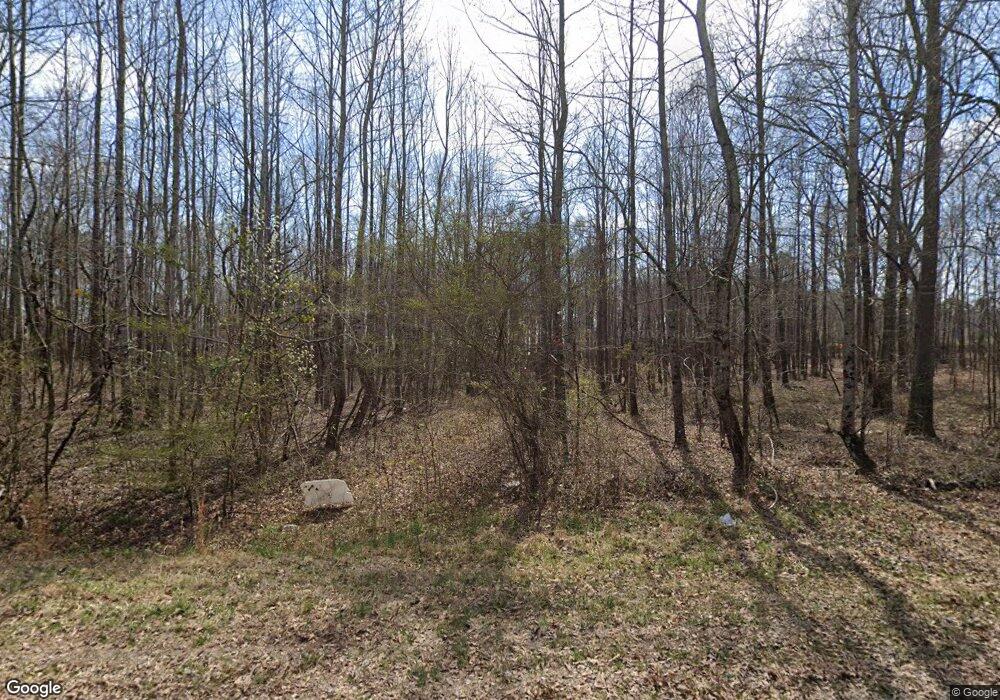
1025 Dewey Rd Statham, GA 30666
Estimated Value: $524,523 - $645,000
--
Bed
--
Bath
2,187
Sq Ft
$270/Sq Ft
Est. Value
About This Home
This home is located at 1025 Dewey Rd, Statham, GA 30666 and is currently estimated at $589,841, approximately $269 per square foot. 1025 Dewey Rd is a home with nearby schools including Rocky Branch Elementary School, Malcom Bridge Middle School, and North Oconee High School.
Ownership History
Date
Name
Owned For
Owner Type
Purchase Details
Closed on
Nov 5, 2021
Sold by
Henry Dustin Eric Waterworth
Bought by
Henry Dustin Eric Waterworth and Henry Kayla Marie
Current Estimated Value
Home Financials for this Owner
Home Financials are based on the most recent Mortgage that was taken out on this home.
Original Mortgage
$346,000
Outstanding Balance
$314,966
Interest Rate
2.99%
Mortgage Type
New Conventional
Estimated Equity
$274,875
Purchase Details
Closed on
Feb 26, 2021
Sold by
Brooks George Ronnie
Bought by
Henry Dustin Eric Waterworth
Home Financials for this Owner
Home Financials are based on the most recent Mortgage that was taken out on this home.
Original Mortgage
$100,000
Interest Rate
2.7%
Mortgage Type
New Conventional
Create a Home Valuation Report for This Property
The Home Valuation Report is an in-depth analysis detailing your home's value as well as a comparison with similar homes in the area
Home Values in the Area
Average Home Value in this Area
Purchase History
| Date | Buyer | Sale Price | Title Company |
|---|---|---|---|
| Henry Dustin Eric Waterworth | $385,000 | -- | |
| Henry Dustin Eric Waterworth | $125,000 | -- |
Source: Public Records
Mortgage History
| Date | Status | Borrower | Loan Amount |
|---|---|---|---|
| Open | Henry Dustin Eric Waterworth | $346,000 | |
| Previous Owner | Henry Dustin Eric Waterworth | $100,000 |
Source: Public Records
Tax History Compared to Growth
Tax History
| Year | Tax Paid | Tax Assessment Tax Assessment Total Assessment is a certain percentage of the fair market value that is determined by local assessors to be the total taxable value of land and additions on the property. | Land | Improvement |
|---|---|---|---|---|
| 2024 | $1,850 | $212,104 | $58,202 | $153,902 |
| 2023 | $1,777 | $197,133 | $53,891 | $143,242 |
| 2022 | $3,470 | $163,731 | $43,113 | $120,618 |
| 2021 | $779 | $33,651 | $33,651 | $0 |
| 2020 | $765 | $32,991 | $32,991 | $0 |
| 2019 | $637 | $27,493 | $27,493 | $0 |
| 2018 | $566 | $23,907 | $23,907 | $0 |
| 2017 | $515 | $21,733 | $21,733 | $0 |
| 2016 | $435 | $18,384 | $18,384 | $0 |
| 2015 | $436 | $18,384 | $18,384 | $0 |
| 2014 | $406 | $16,712 | $16,712 | $0 |
Source: Public Records
Map
Nearby Homes
- 0 Hebron Church Rd Unit 25176734
- 0 Hebron Church Rd Unit 10624104
- 1201 Dove Creek Cir
- 1110 Highland Park Way
- LOT 7 Sikes Rd
- LOT 8 Sikes Rd
- LOT 4 Sikes Rd
- LOT 5 Sikes Rd
- LOT 6 Sikes Rd
- LOT 9 Sikes Rd
- LOT 10 Sikes Rd
- LOT 2 Sikes Rd
- LOT 1 Sikes Rd
- LOT 3 Sikes Rd
- 1471 Sikes Rd
- 142 Brockton Way Unit 9
- 0 Sims Rd SE Unit CL342878
- 0 Sims Rd SE Unit 10634942
- 0 Sims Rd SE Unit 7674385
- 291 Mockingbird Ln Unit 21
- 1134 Bluestem Way
- 1670 Hebron Church Rd
- 1710 Hebron Church Rd
- 0 Hebron Church Rd Unit 3283092
- 0 Hebron Church Rd Unit 7136759
- 0 Hebron Church Rd Unit 7412101
- 0 Hebron Church Rd Unit 7553518
- 0 Hebron Church Rd Unit CM914688
- 0 Hebron Church Rd Unit 947261
- 0 Hebron Church Rd Unit 7226300
- 0 Hebron Church Rd Unit 3288672
- 0 Hebron Church Rd Unit 8798939
- 0 Hebron Church Rd Unit 3171102
- 0 Hebron Church Rd Unit 7267446
- 0 Hebron Church Rd Unit 7316500
- 0 Hebron Church Rd Unit 7421782
- 0 Hebron Church Rd Unit 8089489
- 1820 Hebron Church Rd
- 1800 Hebron Church Rd
- 1711 Hebron Church Rd
