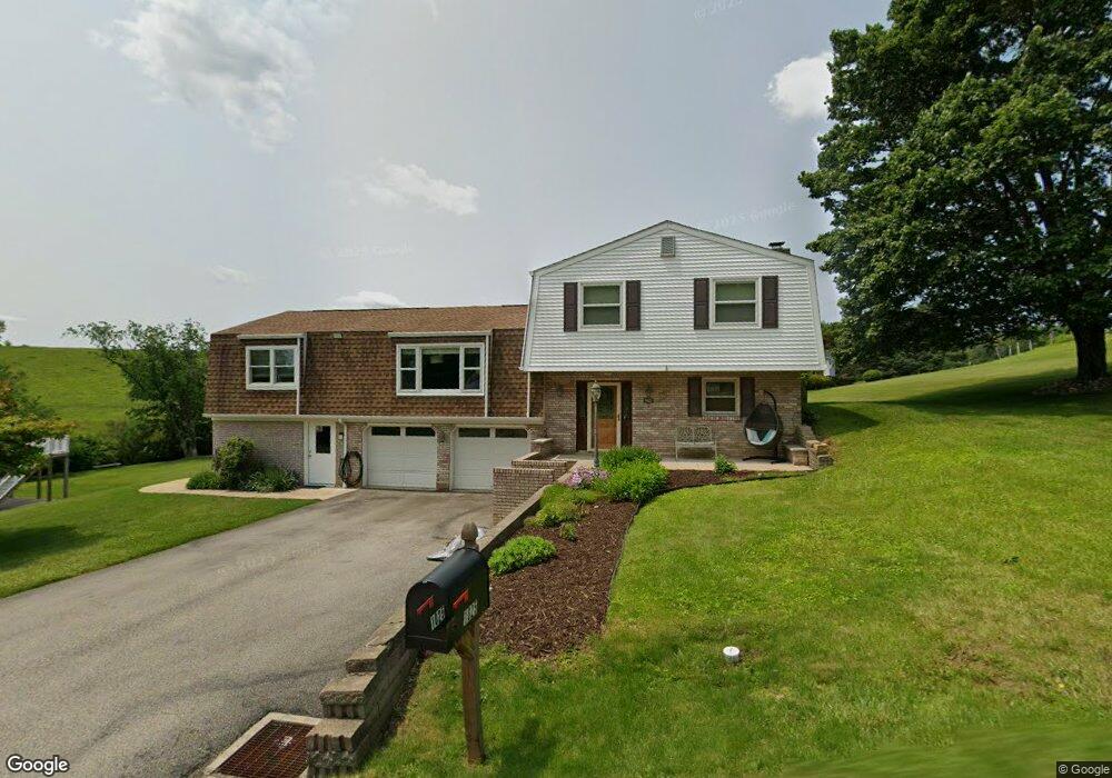
1025 Fenton Rd Indiana, PA 15701
Estimated Value: $246,000 - $444,000
3
Beds
2
Baths
1,731
Sq Ft
$194/Sq Ft
Est. Value
About This Home
This home is located at 1025 Fenton Rd, Indiana, PA 15701 and is currently estimated at $335,924, approximately $194 per square foot. 1025 Fenton Rd is a home located in Indiana County with nearby schools including Indiana Area Junior High School, Indiana Area Senior High School, and Keys Montessori School.
Ownership History
Date
Name
Owned For
Owner Type
Purchase Details
Closed on
Oct 8, 2021
Sold by
Huff Thomas F and Huff Mary Lou
Bought by
Huff Erik N and Huff Christina Marie
Current Estimated Value
Home Financials for this Owner
Home Financials are based on the most recent Mortgage that was taken out on this home.
Original Mortgage
$210,000
Outstanding Balance
$191,500
Interest Rate
2.8%
Mortgage Type
New Conventional
Estimated Equity
$144,424
Purchase Details
Closed on
Sep 17, 2020
Sold by
Lewis Lois Jean and Lewis Frank E
Bought by
Huff Thomas F and Huff Mary Lou
Create a Home Valuation Report for This Property
The Home Valuation Report is an in-depth analysis detailing your home's value as well as a comparison with similar homes in the area
Home Values in the Area
Average Home Value in this Area
Purchase History
| Date | Buyer | Sale Price | Title Company |
|---|---|---|---|
| Huff Erik N | $300,000 | Ita Title Abstract | |
| Huff Thomas F | $4,000 | Ita Title Abstract |
Source: Public Records
Mortgage History
| Date | Status | Borrower | Loan Amount |
|---|---|---|---|
| Open | Huff Erik N | $210,000 |
Source: Public Records
Tax History Compared to Growth
Tax History
| Year | Tax Paid | Tax Assessment Tax Assessment Total Assessment is a certain percentage of the fair market value that is determined by local assessors to be the total taxable value of land and additions on the property. | Land | Improvement |
|---|---|---|---|---|
| 2025 | $4,246 | $187,600 | $30,200 | $157,400 |
| 2024 | $3,995 | $186,900 | $30,200 | $156,700 |
| 2023 | $3,788 | $186,900 | $30,200 | $156,700 |
| 2022 | $3,788 | $186,900 | $30,200 | $156,700 |
| 2021 | $3,788 | $186,900 | $30,200 | $156,700 |
| 2020 | $3,618 | $182,700 | $26,000 | $156,700 |
| 2018 | $3,573 | $182,700 | $26,000 | $156,700 |
| 2017 | $3,729 | $180,400 | $26,000 | $154,400 |
| 2016 | -- | $180,400 | $26,000 | $154,400 |
| 2015 | -- | $29,940 | $2,990 | $26,950 |
| 2014 | -- | $29,940 | $2,990 | $26,950 |
Source: Public Records
Map
Nearby Homes
- 201 Courtland Rd
- 915 Harvest Ln
- 433 Hammersmith Dr
- 720 Hopemont Dr
- 40 Bradley Ct
- 0 Nicola Ln
- 2673 Shelly Dr
- 480 S Ben Franklin Rd
- 2080 Shelly Dr
- 5454 Old Route 56 Hwy W
- 173 Anthony Rd
- 65 Flagstone Dr
- 904 Mcknight Rd
- 666 Georgetowne Village
- 00 White Oak Rd
- 1158 Mansfield Ave
- Lot 8 Crystal Dr
- Lot 34 Crystal Dr
- 124 Crystal Dr
- 107 Crystal Dr