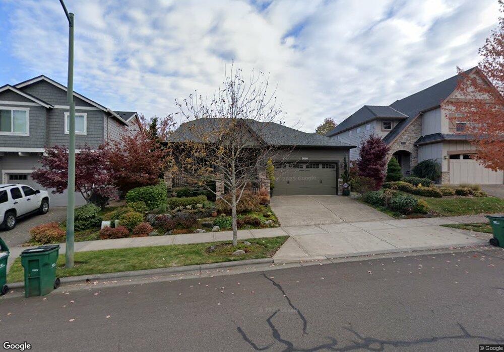
1025 Goff Rd Forest Grove, OR 97116
Estimated Value: $610,692 - $680,000
4
Beds
3
Baths
2,302
Sq Ft
$280/Sq Ft
Est. Value
About This Home
This home is located at 1025 Goff Rd, Forest Grove, OR 97116 and is currently estimated at $643,423, approximately $279 per square foot. 1025 Goff Rd is a home with nearby schools including Dilley Elementary School, Tom McCall Upper Elementary School, and Neil Armstrong Middle School.
Ownership History
Date
Name
Owned For
Owner Type
Purchase Details
Closed on
Oct 20, 2025
Sold by
Field Ronald Clifford and Koenig-Field Susan Kae
Bought by
Field Family Trust and Field
Current Estimated Value
Purchase Details
Closed on
Jul 15, 2013
Sold by
Stone Bridge Homes Nw Llc
Bought by
Field Clifford and Koenig Field Susan Kae
Home Financials for this Owner
Home Financials are based on the most recent Mortgage that was taken out on this home.
Original Mortgage
$200,000
Interest Rate
3.88%
Mortgage Type
New Conventional
Create a Home Valuation Report for This Property
The Home Valuation Report is an in-depth analysis detailing your home's value as well as a comparison with similar homes in the area
Home Values in the Area
Average Home Value in this Area
Purchase History
| Date | Buyer | Sale Price | Title Company |
|---|---|---|---|
| Field Family Trust | -- | None Listed On Document | |
| Field Clifford | $352,000 | First American |
Source: Public Records
Mortgage History
| Date | Status | Borrower | Loan Amount |
|---|---|---|---|
| Previous Owner | Field Clifford | $200,000 |
Source: Public Records
Tax History Compared to Growth
Tax History
| Year | Tax Paid | Tax Assessment Tax Assessment Total Assessment is a certain percentage of the fair market value that is determined by local assessors to be the total taxable value of land and additions on the property. | Land | Improvement |
|---|---|---|---|---|
| 2026 | $7,285 | $409,080 | -- | -- |
| 2025 | $7,285 | $397,170 | -- | -- |
| 2024 | $7,028 | $385,610 | -- | -- |
| 2023 | $7,028 | $374,380 | $0 | $0 |
| 2022 | $6,145 | $374,380 | $0 | $0 |
| 2021 | $6,065 | $352,900 | $0 | $0 |
| 2020 | $6,033 | $342,630 | $0 | $0 |
| 2019 | $5,898 | $332,660 | $0 | $0 |
| 2018 | $5,718 | $322,980 | $0 | $0 |
| 2017 | $5,541 | $313,580 | $0 | $0 |
| 2016 | $5,385 | $304,450 | $0 | $0 |
| 2015 | $5,178 | $295,590 | $0 | $0 |
| 2014 | $5,153 | $286,990 | $0 | $0 |
Source: Public Records
Map
Nearby Homes
- 2517 Sweetwood Ct
- 2440 Heather Way
- 1104 Magnolia Way
- 1078 Vista Oaks Dr
- 1222 Brookside Ave
- 1315 Begonia Ave
- 2819 Buxton St
- 1425 Willamina Ave
- 1609 Camino Dr
- 1611 Camino Dr
- 918 Rosebud Ct
- 922 Rosebud Ct
- 911 Rosebud Ct
- 920 Rosebud Ct
- 924 Rosebud Ct
- 1224 Alyssum Ave
- 836 Misty Ln
- 507-FH Plan at Parkview Terrace
- 504-STD Plan at Parkview Terrace
- Poppy - Plan 308C at Parkview Terrace
- 1019 Goff Rd
- 1031 Goff Rd
- 1013 Goff Rd
- 1046 Stonewall Ave
- 1040 Stonewall Ave
- 1034 Stonewall Ave
- 1037 Goff Rd
- 1052 Stonewall Ave
- 1007 Goff Rd
- 2534 Sweetwood Ct
- 1022 Stonewall Ave
- 1001 Goff Rd
- 1064 Stonewall Ave
- 1049 Goff Rd
- 1016 Stonewall Ave
- 985 Goff Rd
- 993 Goff Rd
- 2522 Sweetwood Ct
- 2537 Heather Way