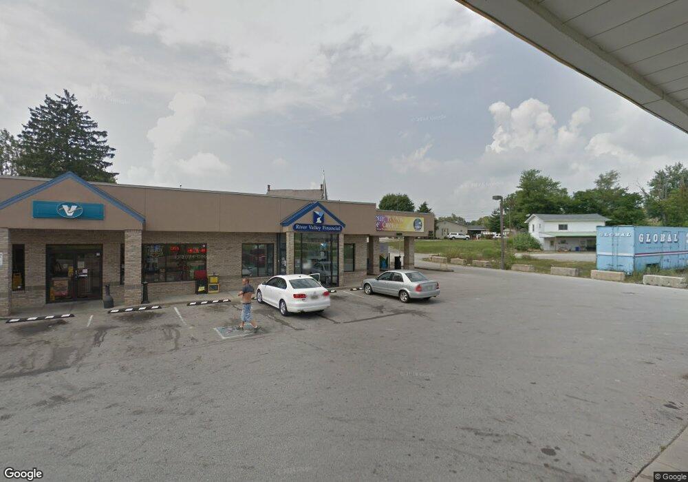
1025 Highway 62 Charlestown, IN 47111
--
Bed
--
Bath
5,000
Sq Ft
6,970
Sq Ft Lot
About This Home
This home is located at 1025 Highway 62, Charlestown, IN 47111. 1025 Highway 62 is a home located in Clark County with nearby schools including Pleasant Ridge Elementary School and Charlestown Senior High School.
Ownership History
Date
Name
Owned For
Owner Type
Purchase Details
Closed on
Aug 16, 2017
Sold by
Gabc Holdings Inc
Bought by
Joga Inc
Create a Home Valuation Report for This Property
The Home Valuation Report is an in-depth analysis detailing your home's value as well as a comparison with similar homes in the area
Home Values in the Area
Average Home Value in this Area
Purchase History
| Date | Buyer | Sale Price | Title Company |
|---|---|---|---|
| Joga Inc | -- | None Available |
Source: Public Records
Tax History Compared to Growth
Tax History
| Year | Tax Paid | Tax Assessment Tax Assessment Total Assessment is a certain percentage of the fair market value that is determined by local assessors to be the total taxable value of land and additions on the property. | Land | Improvement |
|---|---|---|---|---|
| 2024 | $18,361 | $680,400 | $297,500 | $382,900 |
| 2023 | $10,716 | $744,400 | $93,200 | $651,200 |
| 2022 | $9,251 | $375,900 | $37,300 | $338,600 |
| 2021 | $11,860 | $458,600 | $37,300 | $421,300 |
| 2020 | $13,880 | $518,300 | $37,300 | $481,000 |
| 2019 | $13,639 | $0 | $0 | $0 |
| 2018 | $15,724 | $552,100 | $37,300 | $514,800 |
| 2017 | $14,327 | $541,100 | $37,300 | $503,800 |
| 2016 | $13,568 | $535,600 | $37,300 | $498,300 |
| 2014 | $13,509 | $535,900 | $37,300 | $498,600 |
| 2013 | -- | $520,500 | $37,300 | $483,200 |
Source: Public Records
Map
Nearby Homes
- 5577 Limestone Creek Dr
- 5544 Limestone Creek Dr
- 5501 Limestone Creek Dr
- 123 Level St
- 131 Level St
- 125 Level St
- 121 Level St
- 129 Level St
- 127 Level St
- 2038 Harmony Ln
- 2036 Harmony Ln
- 135 Spring St
- 8102 Farming Way
- 204 Taff St
- 532 Beechwood Dr
- 1440 Lindsey St
- 118 Clark Rd
- 330 Marshall Dr
- 315 Berkley Rd
- 329 Berkley Rd
- 1021 Highway 62
- 908 Depot St
- 835 Pike St
- 0 Hwy 3 Unit 201101094
- 0 Hwy 3 Unit 201201400
- 0 Hwy 3 Unit 201303482
- 0 Hwy 3 Unit 201404341
- 0 Hwy 3 Unit 2018012554
- 124 Market St
- 126 Main Cross St
- 145 Main Cross St
- 140 Main Cross St
- 130 Market St
- 0 Pike St
- 1031 Highway 62
- 906 Depot St
- 144 Main Cross St
- 155 Main Cross St
- 154 Main Cross St
- 156 Market St