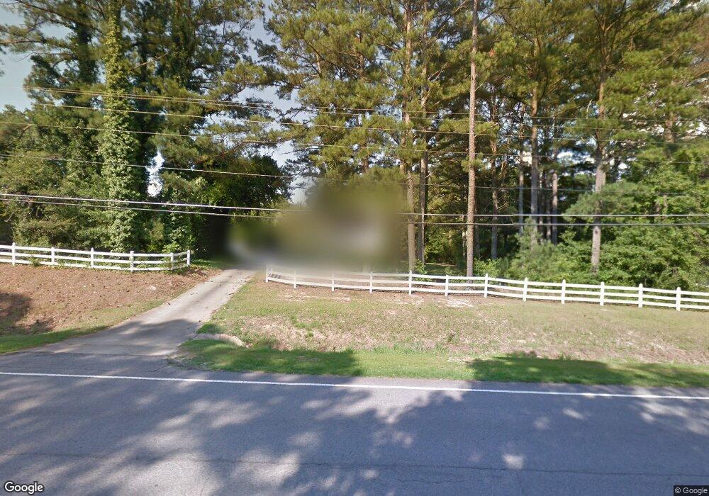
1025 Highway 92 N Unit 1 Fayetteville, GA 30214
Estimated Value: $409,283 - $467,000
--
Bed
1
Bath
2,665
Sq Ft
$165/Sq Ft
Est. Value
About This Home
This home is located at 1025 Highway 92 N Unit 1, Fayetteville, GA 30214 and is currently estimated at $439,821, approximately $165 per square foot. 1025 Highway 92 N Unit 1 is a home located in Fayette County with nearby schools including North Fayette Elementary School, Bennett's Mill Middle School, and Fayette County High School.
Ownership History
Date
Name
Owned For
Owner Type
Purchase Details
Closed on
Aug 24, 2022
Sold by
Cheryl Lynne Tate Irrevocable Trust
Bought by
Tate Cheryl Lynne
Current Estimated Value
Purchase Details
Closed on
Jun 1, 2022
Sold by
Tate Cheryl L
Bought by
Cheryl Lynne Tate Irrevocable Trust
Purchase Details
Closed on
Oct 26, 2005
Sold by
Davis Duane C and Davis Mary
Bought by
Tate Peter E and Tate Cheryl
Home Financials for this Owner
Home Financials are based on the most recent Mortgage that was taken out on this home.
Original Mortgage
$191,900
Interest Rate
5.76%
Mortgage Type
New Conventional
Create a Home Valuation Report for This Property
The Home Valuation Report is an in-depth analysis detailing your home's value as well as a comparison with similar homes in the area
Home Values in the Area
Average Home Value in this Area
Purchase History
| Date | Buyer | Sale Price | Title Company |
|---|---|---|---|
| Tate Cheryl Lynne | -- | Dilhaneyk Alex J | |
| Tate Cheryl Lynne | -- | Dilhaneyk Alex J | |
| Cheryl Lynne Tate Irrevocable Trust | -- | None Listed On Document | |
| Tate Peter E | $239,900 | -- |
Source: Public Records
Mortgage History
| Date | Status | Borrower | Loan Amount |
|---|---|---|---|
| Previous Owner | Tate Peter E | $191,900 |
Source: Public Records
Tax History Compared to Growth
Tax History
| Year | Tax Paid | Tax Assessment Tax Assessment Total Assessment is a certain percentage of the fair market value that is determined by local assessors to be the total taxable value of land and additions on the property. | Land | Improvement |
|---|---|---|---|---|
| 2024 | $1,142 | $135,028 | $29,200 | $105,828 |
| 2023 | $958 | $130,240 | $29,200 | $101,040 |
| 2022 | $1,160 | $125,600 | $29,200 | $96,400 |
| 2021 | $1,160 | $87,340 | $10,500 | $76,840 |
| 2020 | $1,400 | $79,220 | $10,500 | $68,720 |
| 2019 | $1,347 | $75,460 | $10,500 | $64,960 |
| 2018 | $1,287 | $71,540 | $10,500 | $61,040 |
| 2017 | $1,185 | $65,700 | $10,500 | $55,200 |
| 2016 | $1,085 | $58,780 | $10,500 | $48,280 |
| 2015 | $1,031 | $54,780 | $10,500 | $44,280 |
| 2014 | $958 | $49,860 | $10,500 | $39,360 |
| 2013 | -- | $46,740 | $0 | $0 |
Source: Public Records
Map
Nearby Homes
- 120 Gentle Doe Dr
- 220 Eastmark Way
- 671 Ginger Cake Rd
- 100 Carlyle Ln
- 130 W Pier Way
- 636 Ginger Cake Rd
- 210 New Oak Ridge Trail
- 615 New Hope Rd
- 615 New Hope Rd Unit NO SUBDIVISION
- 0 Highway 92 N Unit 10594507
- 0 Highway 92 N Unit 7570733
- 150 Ashley Dr
- 100 Thornton Ct
- 145 Walden Way Unit 2
- 145 Woodsong Dr
- 190 Walden Way
- 550 Ginger Cake Rd
- 125 Sir Lancelot Ct
- 195 Blackberry Run
- 400 Benjamin Cir Unit 3
- 1017 Highway 92 N Unit 1
- 1031 Highway 92 N
- 0 Forrest Ave Unit 7002584
- 0 Forrest Ave Unit 10020997
- 0 Forrest Ave Unit 7344289
- 0 Forrest Ave Unit 7293548
- 0 Forrest Ave Unit 7169000
- 0 Forrest Ave Unit 7141339
- 0 Forrest Ave Unit 8872864
- 0 Forrest Ave Unit 8869809
- 0 Forrest Ave Unit 8822241
- 0 Forrest Ave Unit 8647741
- 0 Forrest Ave Unit 8513659
- 0 Forrest Ave Unit 8274822
- 0 Forrest Ave Unit 8163884
- 0 Forrest Ave Unit 7598242
- 0 Forrest Ave Unit 7540344
- 0 Forrest Ave Unit 3264229
- 0 Forrest Ave
- 1041 Highway 92 N