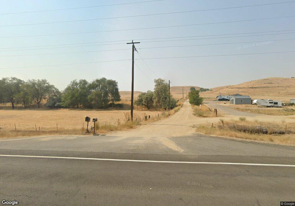
1025 Highway 95 Weiser, ID 83672
Estimated Value: $654,000 - $678,444
4
Beds
2
Baths
2,175
Sq Ft
$308/Sq Ft
Est. Value
About This Home
This home is located at 1025 Highway 95, Weiser, ID 83672 and is currently estimated at $670,861, approximately $308 per square foot. 1025 Highway 95 is a home located in Washington County with nearby schools including Pioneer Primary School, Park Intermediate School, and Weiser High School.
Ownership History
Date
Name
Owned For
Owner Type
Purchase Details
Closed on
Jun 14, 2010
Sold by
Trees Craig B and Trees Lynette K
Bought by
Bybee Charles D and Bybee Eva Rae
Current Estimated Value
Home Financials for this Owner
Home Financials are based on the most recent Mortgage that was taken out on this home.
Original Mortgage
$200,402
Outstanding Balance
$133,397
Interest Rate
4.91%
Mortgage Type
VA
Estimated Equity
$537,464
Purchase Details
Closed on
Apr 3, 2009
Sold by
Donna M Swain Family Trust
Bought by
Tree Craig and Tree Lynette
Purchase Details
Closed on
Nov 19, 2007
Sold by
Rodman William H and Rodman Merdith
Bought by
Trees Graig B and Trees Lynette K
Create a Home Valuation Report for This Property
The Home Valuation Report is an in-depth analysis detailing your home's value as well as a comparison with similar homes in the area
Home Values in the Area
Average Home Value in this Area
Purchase History
| Date | Buyer | Sale Price | Title Company |
|---|---|---|---|
| Bybee Charles D | -- | -- | |
| Tree Craig | -- | -- | |
| Trees Graig B | -- | -- |
Source: Public Records
Mortgage History
| Date | Status | Borrower | Loan Amount |
|---|---|---|---|
| Open | Bybee Charles D | $200,402 |
Source: Public Records
Tax History Compared to Growth
Tax History
| Year | Tax Paid | Tax Assessment Tax Assessment Total Assessment is a certain percentage of the fair market value that is determined by local assessors to be the total taxable value of land and additions on the property. | Land | Improvement |
|---|---|---|---|---|
| 2025 | $2,473 | $521,743 | $123,326 | $398,417 |
| 2024 | $2,569 | $519,072 | $123,326 | $395,746 |
| 2023 | $2,238 | $497,805 | $123,326 | $374,479 |
| 2022 | $2,405 | $433,424 | $76,286 | $357,138 |
| 2021 | $2,011 | $340,239 | $55,030 | $285,209 |
| 2020 | $1,710 | $266,438 | $47,960 | $218,478 |
| 2019 | $1,759 | $223,918 | $48,611 | $175,307 |
| 2018 | $1,472 | $237,792 | $48,232 | $189,560 |
| 2017 | $1,383 | $223,918 | $48,611 | $175,307 |
| 2013 | $1,202 | $0 | $0 | $0 |
| 2011 | $1,121 | $0 | $0 | $0 |
Source: Public Records
Map
Nearby Homes
- 1587 Gentry Ln
- 0 Olds Ferry Rd Unit 98882054
- TBD Us Hwy 95
- 840 U S 95
- 0 Tbd Loafer Ln
- Lewiston Plan at Sundance Pointe
- Alturas Plan at Sundance Pointe
- St Maries Plan at Sundance Pointe
- Ashton Plan at Sundance Pointe
- Chamberlain Plan at Sundance Pointe
- Teton Plan at Sundance Pointe
- Greyloch with Bonus Plan at Sundance Pointe
- Shoshone Plan at Sundance Pointe
- Lewiston with Bonus Plan at Sundance Pointe
- 1179 Pleasant View Dr
- 890 Jenkins Creek Rd
- 1492 Weiser River Rd
- 1328 Hoover Rd
- 420 W Indianhead Rd
- 1328 Hoover Road (2 Acres)