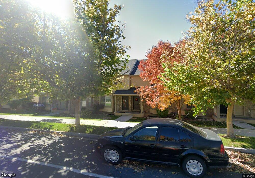
1025 Independence Ave Unit 46 Provo, UT 84604
Rivergrove NeighborhoodEstimated Value: $382,000 - $400,000
4
Beds
3
Baths
1,732
Sq Ft
$227/Sq Ft
Est. Value
About This Home
This home is located at 1025 Independence Ave Unit 46, Provo, UT 84604 and is currently estimated at $393,371, approximately $227 per square foot. 1025 Independence Ave Unit 46 is a home located in Utah County with nearby schools including Westridge Elementary School, Dixon Middle School, and Provo High School.
Ownership History
Date
Name
Owned For
Owner Type
Purchase Details
Closed on
May 27, 2017
Sold by
Price Paul and Price Paul
Bought by
Burger Jeffrey A and Burger Sherry T
Current Estimated Value
Purchase Details
Closed on
Jul 31, 2009
Sold by
Independence Avenue Llc
Bought by
Price Krista Raylene and Price Paul
Home Financials for this Owner
Home Financials are based on the most recent Mortgage that was taken out on this home.
Original Mortgage
$99,600
Interest Rate
5.31%
Mortgage Type
Purchase Money Mortgage
Create a Home Valuation Report for This Property
The Home Valuation Report is an in-depth analysis detailing your home's value as well as a comparison with similar homes in the area
Home Values in the Area
Average Home Value in this Area
Purchase History
| Date | Buyer | Sale Price | Title Company |
|---|---|---|---|
| Burger Jeffrey A | -- | Backman Title Services | |
| Price Krista Raylene | -- | First American Orem |
Source: Public Records
Mortgage History
| Date | Status | Borrower | Loan Amount |
|---|---|---|---|
| Previous Owner | Price Krista Raylene | $99,600 |
Source: Public Records
Tax History Compared to Growth
Tax History
| Year | Tax Paid | Tax Assessment Tax Assessment Total Assessment is a certain percentage of the fair market value that is determined by local assessors to be the total taxable value of land and additions on the property. | Land | Improvement |
|---|---|---|---|---|
| 2025 | $2,046 | $373,300 | $54,900 | $318,400 |
| 2024 | $2,046 | $201,410 | $0 | $0 |
| 2023 | $1,958 | $190,025 | $0 | $0 |
| 2022 | $1,994 | $195,140 | $0 | $0 |
| 2021 | $1,563 | $266,800 | $40,000 | $226,800 |
| 2020 | $1,616 | $258,500 | $33,600 | $224,900 |
| 2019 | $1,554 | $258,500 | $33,600 | $224,900 |
| 2018 | $1,393 | $235,000 | $29,000 | $206,000 |
| 2017 | $1,233 | $114,345 | $0 | $0 |
| 2016 | $1,203 | $103,950 | $0 | $0 |
| 2015 | $1,133 | $99,000 | $0 | $0 |
| 2014 | $1,069 | $97,350 | $0 | $0 |
Source: Public Records
Map
Nearby Homes
- 962 Independence Ave
- 1063 N 1880 W
- 2075 W 1080 N
- 932 N 1760 W
- 2043 W 1100 N
- 1127 Independence Ave
- 2397 W 1160 N
- 2132 W 450 N
- 1451 Arthur Dr
- 1503 N 1980 W
- 1454 Lancelot Dr Unit 6F
- 871 N 2550 W
- 1471 W 1460 N
- 255 N 1600 W Unit 52
- 255 N 1600 W Unit 148
- 255 N 1600 W Unit 81
- 1616 N 2100 W
- 1375 W 500 N Unit 95
- 1662 N 2250 W
- 1682 N 2250 W
- 1025 Independence Ave
- 1029 Independence Ave Unit 47
- 1021 Independence Ave Unit 45
- 1033 Independence Ave
- 1033 Independence Ave Unit 48
- 1037 Independence Ave
- 1037 Independence Ave Unit 49
- 1041 Independence Ave
- 1041 Independence Ave Unit 50
- 1015 Independence Ave
- 1884 W 1020 N
- 1884 W 1020 N Unit 39
- 1011 Independence Ave
- 1888 W 1020 N
- 1888 W 1020 N Unit 38
- 1885 W 1020 N Unit 25
- 1053 Independence Ave
- 1053 Independence Ave Unit 51
- 1007 Independence Ave
- 1891 W 1020 N Unit 26