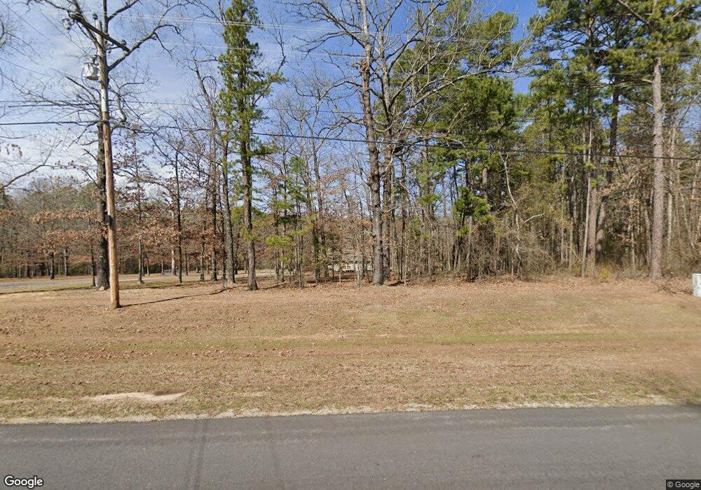
1025 Industrial Park Rd Heber Springs, AR 72543
Estimated Value: $67,822 - $653,000
--
Bed
1
Bath
864
Sq Ft
$284/Sq Ft
Est. Value
About This Home
This home is located at 1025 Industrial Park Rd, Heber Springs, AR 72543 and is currently estimated at $245,456, approximately $284 per square foot. 1025 Industrial Park Rd is a home located in Cleburne County with nearby schools including Heber Springs Elementary School, Heber Springs Middle School, and Heber Springs High School.
Ownership History
Date
Name
Owned For
Owner Type
Purchase Details
Closed on
Jun 1, 2004
Bought by
Haswell Dana W
Current Estimated Value
Purchase Details
Closed on
Jun 2, 2003
Bought by
Cooper Patti Ann
Purchase Details
Closed on
May 27, 2003
Bought by
Cooper Patti Ann
Purchase Details
Closed on
May 18, 2001
Bought by
Cooper Russell B and Patti Ann
Purchase Details
Closed on
Sep 19, 2000
Bought by
Toliver Tim C
Purchase Details
Closed on
Jun 1, 1997
Bought by
Toliver Tim C and Toliver Jeanne M
Purchase Details
Closed on
Dec 2, 1991
Bought by
Gross Mike R and Gross Parker,Rebecca
Create a Home Valuation Report for This Property
The Home Valuation Report is an in-depth analysis detailing your home's value as well as a comparison with similar homes in the area
Home Values in the Area
Average Home Value in this Area
Purchase History
| Date | Buyer | Sale Price | Title Company |
|---|---|---|---|
| Haswell Dana W | $78,000 | -- | |
| Cooper Patti Ann | -- | -- | |
| Cooper Patti Ann | -- | -- | |
| Cooper Russell B | $75,000 | -- | |
| Toliver Tim C | -- | -- | |
| Toliver Tim C | $55,000 | -- | |
| Gross Mike R | $12,000 | -- |
Source: Public Records
Tax History Compared to Growth
Tax History
| Year | Tax Paid | Tax Assessment Tax Assessment Total Assessment is a certain percentage of the fair market value that is determined by local assessors to be the total taxable value of land and additions on the property. | Land | Improvement |
|---|---|---|---|---|
| 2024 | $156 | $5,818 | $5,280 | $538 |
| 2023 | $144 | $5,818 | $5,280 | $538 |
| 2022 | $182 | $5,818 | $5,280 | $538 |
| 2021 | $167 | $3,096 | $2,640 | $456 |
| 2020 | $167 | $3,096 | $2,640 | $456 |
| 2019 | $167 | $3,096 | $2,640 | $456 |
| 2018 | $167 | $3,096 | $2,640 | $456 |
| 2017 | $167 | $3,096 | $2,640 | $456 |
| 2016 | $227 | $4,680 | $4,224 | $456 |
| 2015 | $177 | $4,680 | $4,224 | $456 |
| 2014 | $177 | $4,680 | $4,224 | $456 |
Source: Public Records
Map
Nearby Homes
- 1230 Industrial Park Rd
- 705 Industrial Park Rd
- 100 Rainbow Loop
- 1200 Rainbow Rd
- Lot 28 Lost Creek Dr
- 000 Industrial Park Rd
- 199 Bert Dickey Rd
- 0 Hays Rd Unit 25034570
- 3303 River Bend Rd
- 2489 Riverbend Rd
- 0000 Riverbend and Mudcat Rd
- 250 Gardner Dr
- 65 Gardner Dr
- 1215 Ferguson Rd
- 470 Engler Ln
- 7 Swinging Bridge Dr
- 3 Swinging Bridge Dr
- 1 Swinging Bridge Dr
- 000 Clubhouse Cir
- 9 Jared Dr
- 1025 Industrial Park Rd
- 989 Industrial Park Rd
- 1000 Industrial Park Rd
- 1070 Industrial Park Rd
- 1075 Industrial Park Rd
- 960 Industrial Park Rd
- 30 Woodard Ln
- 37 Stoney Point Rd
- 930 Industrial Park Rd
- 262 Stoney Point Rd
- 5 Stoney Point Rd
- 136 Stoney Point Rd
- 1089 Industrial Park Rd
- 111 Stoney Point Rd
- 110 Ferguson Rd
- 274 Stoney Point Rd
- 135 Stoney Point Rd
- 920 Industrial Park Rd
- 110 Woodard Ln
- 0 Stoney Point
