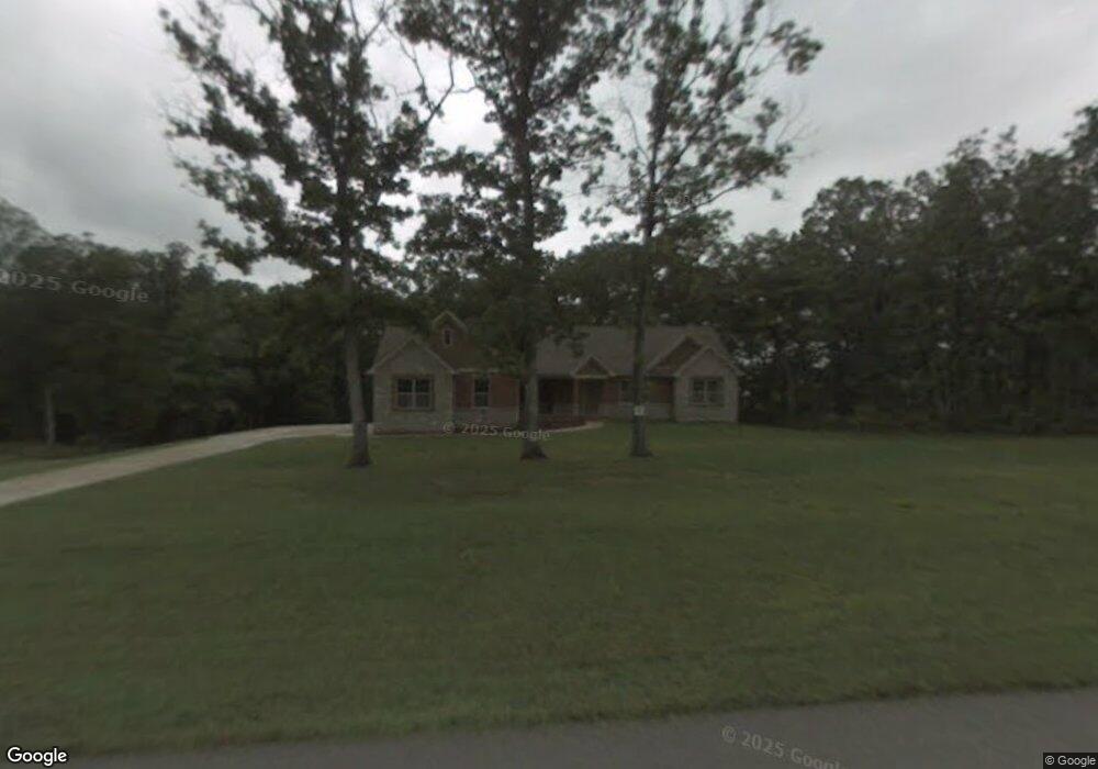
1025 Kodiak Ridge Ct Warrenton, MO 63383
Estimated Value: $433,680 - $550,000
3
Beds
3
Baths
2,064
Sq Ft
$228/Sq Ft
Est. Value
About This Home
This home is located at 1025 Kodiak Ridge Ct, Warrenton, MO 63383 and is currently estimated at $471,170, approximately $228 per square foot. 1025 Kodiak Ridge Ct is a home located in Warren County with nearby schools including Warrior Ridge Elementary School, Black Hawk Middle School, and Warrenton High School.
Ownership History
Date
Name
Owned For
Owner Type
Purchase Details
Closed on
Oct 10, 2014
Sold by
Bextermiller Charles F and Bextermiller Loretta J
Bought by
Compton Harold G and Compton Carol R
Current Estimated Value
Home Financials for this Owner
Home Financials are based on the most recent Mortgage that was taken out on this home.
Original Mortgage
$180,000
Outstanding Balance
$138,300
Interest Rate
4.16%
Mortgage Type
New Conventional
Estimated Equity
$332,870
Create a Home Valuation Report for This Property
The Home Valuation Report is an in-depth analysis detailing your home's value as well as a comparison with similar homes in the area
Home Values in the Area
Average Home Value in this Area
Purchase History
| Date | Buyer | Sale Price | Title Company |
|---|---|---|---|
| Compton Harold G | -- | None Available |
Source: Public Records
Mortgage History
| Date | Status | Borrower | Loan Amount |
|---|---|---|---|
| Open | Compton Harold G | $180,000 |
Source: Public Records
Tax History Compared to Growth
Tax History
| Year | Tax Paid | Tax Assessment Tax Assessment Total Assessment is a certain percentage of the fair market value that is determined by local assessors to be the total taxable value of land and additions on the property. | Land | Improvement |
|---|---|---|---|---|
| 2024 | $3,244 | $51,540 | $8,516 | $43,024 |
| 2023 | $3,244 | $51,540 | $8,516 | $43,024 |
| 2022 | $3,012 | $47,722 | $7,885 | $39,837 |
| 2021 | $3,012 | $47,722 | $7,885 | $39,837 |
| 2020 | $3,026 | $47,722 | $7,885 | $39,837 |
| 2019 | $3,024 | $47,722 | $0 | $0 |
| 2017 | $2,993 | $47,722 | $0 | $0 |
| 2016 | $2,984 | $47,722 | $0 | $0 |
| 2015 | -- | $42,875 | $0 | $0 |
| 2011 | -- | $42,880 | $0 | $0 |
Source: Public Records
Map
Nearby Homes
- 902 Pine Ave
- 0 Debbie
- 19922 Mockingbird Ln
- Hartford Plan at Estates at Pinckney Ridge
- Sienna Plan at Estates at Pinckney Ridge
- Savoy Plan at Estates at Pinckney Ridge
- Tremont Plan at Estates at Pinckney Ridge
- Rochester Plan at Estates at Pinckney Ridge
- Canterbury Plan at Estates at Pinckney Ridge
- Barkley Plan at Estates at Pinckney Ridge
- Westbrook Plan at Estates at Pinckney Ridge
- Rockport Plan at Estates at Pinckney Ridge
- 26365 Falling Leaf Dr
- 1 Westbrook @ Pinckney Ridge
- 1 Rockport @ Pinckney Ridge
- 1 Sienna @ Pinckney Ridge
- 38 Country Ln
- 19695 Laverne Dr
- 18808 Fremont Trail
- 1 Tremont @ Pinckney Ridge
- 0 Unknown Unit 23068572
- 0 Unknown Unit 756389
- 0 Unknown Unit 756409
- 0 Unknown Unit 708978
- 0 Unknown Unit 710347
- 0 Unknown Unit 619147
- 0 Unknown Unit 539859
- 0 Unknown Unit 539856
- 0 Unknown Unit 539853
- 0 Unknown Unit 731492
- 0 Unknown Unit 356742
- 0 Unknown Unit 234915
- 0 Unknown Unit 234908
- 0 Unknown Unit 756363
- 0 Unknown Unit 761866
- 0 Unknown Unit 736066
- 0 Unknown Unit 90033250
- 0 Unknown Unit 90033186
- 0 Unknown Unit 665978
- 0 Unknown Unit 10008532