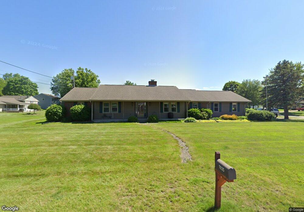
1025 Laura Ave Bucyrus, OH 44820
Estimated Value: $272,000 - $297,000
3
Beds
3
Baths
1,765
Sq Ft
$163/Sq Ft
Est. Value
About This Home
This home is located at 1025 Laura Ave, Bucyrus, OH 44820 and is currently estimated at $288,393, approximately $163 per square foot. 1025 Laura Ave is a home located in Crawford County with nearby schools including Bucyrus Elementary School, Bucyrus Secondary School, and Wayside Christian School.
Ownership History
Date
Name
Owned For
Owner Type
Purchase Details
Closed on
Jan 4, 2022
Sold by
Cremeans Jane A and Cremeans Tammera A
Bought by
Huppman John P
Current Estimated Value
Home Financials for this Owner
Home Financials are based on the most recent Mortgage that was taken out on this home.
Original Mortgage
$202,020
Outstanding Balance
$186,187
Interest Rate
3.11%
Mortgage Type
VA
Estimated Equity
$102,206
Purchase Details
Closed on
Jan 6, 2012
Sold by
Cremeans Jane
Bought by
Keller Tammera A
Purchase Details
Closed on
Jan 12, 2002
Bought by
Creameans Jane
Create a Home Valuation Report for This Property
The Home Valuation Report is an in-depth analysis detailing your home's value as well as a comparison with similar homes in the area
Home Values in the Area
Average Home Value in this Area
Purchase History
| Date | Buyer | Sale Price | Title Company |
|---|---|---|---|
| Huppman John P | $125 | Cory David R | |
| Huppman John P | $125 | Cory David R | |
| Keller Tammera A | -- | None Available | |
| Creameans Jane | -- | -- |
Source: Public Records
Mortgage History
| Date | Status | Borrower | Loan Amount |
|---|---|---|---|
| Open | Huppman John P | $202,020 | |
| Closed | Huppman John P | $202,020 |
Source: Public Records
Tax History Compared to Growth
Tax History
| Year | Tax Paid | Tax Assessment Tax Assessment Total Assessment is a certain percentage of the fair market value that is determined by local assessors to be the total taxable value of land and additions on the property. | Land | Improvement |
|---|---|---|---|---|
| 2024 | $3,422 | $75,850 | $9,560 | $66,290 |
| 2023 | $3,422 | $57,200 | $7,350 | $49,850 |
| 2022 | $2,520 | $57,200 | $7,350 | $49,850 |
| 2021 | $2,514 | $57,200 | $7,350 | $49,850 |
| 2020 | $2,036 | $45,920 | $7,350 | $38,570 |
| 2019 | $2,080 | $45,920 | $7,350 | $38,570 |
| 2018 | $2,071 | $45,920 | $7,350 | $38,570 |
| 2017 | $1,867 | $41,090 | $7,350 | $33,740 |
| 2016 | $1,809 | $41,090 | $7,350 | $33,740 |
| 2015 | $1,783 | $41,090 | $7,350 | $33,740 |
| 2014 | $1,775 | $41,090 | $7,350 | $33,740 |
| 2013 | $1,775 | $41,090 | $7,350 | $33,740 |
Source: Public Records
Map
Nearby Homes
- 1145 Lynne Ave
- 0 Lynne Ave
- 1149 Farmview Dr
- 1112 Hillcrest Dr
- 1315 Lynne Ave
- 1123 Hillcrest Dr
- 1555 Rosedale Ave
- 2440 Wyandot Rd
- 452 Pleasant Ln
- 130 Brentwood St
- 275 Brentwood St
- 900 S Spring St
- 1211 S Sandusky Ave
- 1021 S Sandusky Ave
- 325 W Liberty St
- 708 S Sandusky Ave
- 317 S Spring St
- 318 Charlotte St
- 316 W Warren St
- 550 S Walnut St
- 1220 Southland Dr
- 1205 Lynne Ave
- 1022 Laura Ave
- 1215 Lynne Ave
- 1240 Southland Dr
- 1115 Laura Ave
- 1240 Southland Ave
- 1000 Laura Ave
- 1225 Southland Dr
- 1235 Lynne Ave
- 1104 Laura Ave
- 1162 Southland Dr
- 1245 Southland Dr
- 1260 Southland Dr
- 1147 Lynne Ave
- 1167 Southland Dr
- 1265 Lynne Ave
- 1117 Laura Ave
- 1265 Southland Dr
- 945 Laura Ave