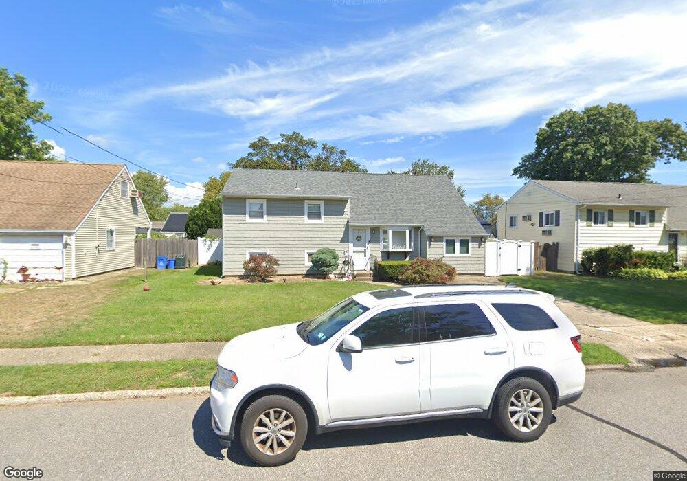
1025 N Niagara Ave Lindenhurst, NY 11757
Estimated Value: $645,816 - $872,000
--
Bed
--
Bath
1,249
Sq Ft
$571/Sq Ft
Est. Value
About This Home
This home is located at 1025 N Niagara Ave, Lindenhurst, NY 11757 and is currently estimated at $713,704, approximately $571 per square foot. 1025 N Niagara Ave is a home located in Suffolk County with nearby schools including William Rall School, Lindenhurst Middle School, and Lindenhurst Senior High School.
Ownership History
Date
Name
Owned For
Owner Type
Purchase Details
Closed on
Dec 20, 2007
Sold by
Gaulrapp John
Bought by
Guarini Robert J
Current Estimated Value
Purchase Details
Closed on
May 29, 2001
Sold by
Sabatini Marion
Bought by
Dobranski Melanie
Home Financials for this Owner
Home Financials are based on the most recent Mortgage that was taken out on this home.
Original Mortgage
$173,000
Interest Rate
7.15%
Create a Home Valuation Report for This Property
The Home Valuation Report is an in-depth analysis detailing your home's value as well as a comparison with similar homes in the area
Home Values in the Area
Average Home Value in this Area
Purchase History
| Date | Buyer | Sale Price | Title Company |
|---|---|---|---|
| Guarini Robert J | $372,500 | Gregory Carman | |
| Dobranski Melanie | $193,000 | -- |
Source: Public Records
Mortgage History
| Date | Status | Borrower | Loan Amount |
|---|---|---|---|
| Previous Owner | Dobranski Melanie | $173,000 |
Source: Public Records
Tax History Compared to Growth
Tax History
| Year | Tax Paid | Tax Assessment Tax Assessment Total Assessment is a certain percentage of the fair market value that is determined by local assessors to be the total taxable value of land and additions on the property. | Land | Improvement |
|---|---|---|---|---|
| 2024 | $14,700 | $3,940 | $290 | $3,650 |
| 2023 | $14,700 | $3,940 | $290 | $3,650 |
| 2022 | $8,465 | $3,940 | $290 | $3,650 |
| 2021 | $8,465 | $3,940 | $290 | $3,650 |
| 2020 | $10,126 | $3,940 | $290 | $3,650 |
| 2019 | $10,126 | $0 | $0 | $0 |
| 2018 | $8,391 | $2,940 | $290 | $2,650 |
| 2017 | $8,391 | $2,940 | $290 | $2,650 |
| 2016 | $8,426 | $2,940 | $290 | $2,650 |
| 2015 | -- | $2,940 | $290 | $2,650 |
| 2014 | -- | $2,940 | $290 | $2,650 |
Source: Public Records
Map
Nearby Homes
- 1029 N Niagara Ave
- 456 Heathcote Rd
- 430 Heathcote Rd
- 16 Burton Place
- 156 Farmers Ave
- 45 Feustal St
- 165 Tremont Rd
- 61 Kellum St Unit A and B
- 61 Kellum St Unit 61A
- 957 N Fulton Ave
- 0 Tenety Ave Unit 3461459
- 83 Justice St
- 108 Justice St
- 45 Farber Dr
- 940 N Erie Ave
- 166 & 170 Woodrow Pkwy
- 86 Farber Dr Unit 86
- 669 East Dr
- 200 Farber Dr Unit 200
- 48 Farmers Ave
- 1021 N Niagara Ave
- 1024 N Ontario Ave
- 1028 N Ontario Ave
- 1020 N Ontario Ave
- 1020 N Ontario Ave Unit B
- 1020 N Ontario Ave Unit 2nd FL
- 1033 N Niagara Ave
- 1017 N Niagara Ave
- 1024 N Niagara Ave
- 1032 N Ontario Ave
- 1028 N Niagara Ave
- 1020 N Niagara Ave
- 1016 N Ontario Ave
- 1032 N Niagara Ave
- 1016 N Niagara Ave
- 1036 N Ontario Ave
- 1012 N Ontario Ave
- 1036 N Niagara Ave
- 1025 N Monroe Ave