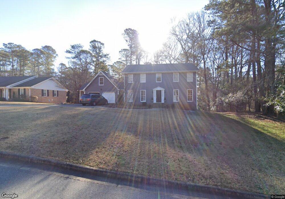
1025 Northshore Dr Roswell, GA 30076
Martin's Landing NeighborhoodEstimated Value: $605,998 - $680,000
4
Beds
3
Baths
2,727
Sq Ft
$237/Sq Ft
Est. Value
About This Home
This home is located at 1025 Northshore Dr, Roswell, GA 30076 and is currently estimated at $646,500, approximately $237 per square foot. 1025 Northshore Dr is a home located in Fulton County with nearby schools including Jackson Elementary School, Holcomb Bridge Middle School, and Centennial High School.
Ownership History
Date
Name
Owned For
Owner Type
Purchase Details
Closed on
Mar 24, 2010
Sold by
Monahan Patricia A
Bought by
Wuerslin Mark T and Wuerslin Julie C
Current Estimated Value
Home Financials for this Owner
Home Financials are based on the most recent Mortgage that was taken out on this home.
Original Mortgage
$216,750
Outstanding Balance
$143,154
Interest Rate
4.91%
Mortgage Type
New Conventional
Estimated Equity
$503,346
Create a Home Valuation Report for This Property
The Home Valuation Report is an in-depth analysis detailing your home's value as well as a comparison with similar homes in the area
Home Values in the Area
Average Home Value in this Area
Purchase History
| Date | Buyer | Sale Price | Title Company |
|---|---|---|---|
| Wuerslin Mark T | $255,000 | -- |
Source: Public Records
Mortgage History
| Date | Status | Borrower | Loan Amount |
|---|---|---|---|
| Open | Wuerslin Mark T | $216,750 |
Source: Public Records
Tax History Compared to Growth
Tax History
| Year | Tax Paid | Tax Assessment Tax Assessment Total Assessment is a certain percentage of the fair market value that is determined by local assessors to be the total taxable value of land and additions on the property. | Land | Improvement |
|---|---|---|---|---|
| 2025 | $564 | $187,800 | $37,160 | $150,640 |
| 2023 | $4,977 | $176,320 | $50,640 | $125,680 |
| 2022 | $2,362 | $159,160 | $30,800 | $128,360 |
| 2021 | $2,779 | $136,280 | $25,960 | $110,320 |
| 2020 | $2,826 | $134,640 | $25,640 | $109,000 |
| 2019 | $440 | $124,440 | $24,440 | $100,000 |
| 2018 | $2,949 | $121,520 | $23,840 | $97,680 |
| 2017 | $2,086 | $83,440 | $16,400 | $67,040 |
| 2016 | $2,085 | $83,440 | $16,400 | $67,040 |
| 2015 | $2,548 | $83,440 | $16,400 | $67,040 |
| 2014 | $2,167 | $83,440 | $16,400 | $67,040 |
Source: Public Records
Map
Nearby Homes
- 1140 Northshore Dr
- 1045 Martin Ridge Rd
- 300 Cedar Knoll Ct
- 1265 Northshore Dr
- 0 Riverside Rd Unit 7421838
- 0 Riverside Rd Unit 10339509
- 2020 Rivermont Way
- 9470 Hillside Dr
- 130 Lakeview Ridge W
- 2104 Queen Anne Ct
- 230 Lakeview Ridge E
- 502 Brandywine Cir
- 306 Brandywine Cir
- 303 Brandywine Cir Unit 303
- 1010 Wedgewood Way
- 610 Trailmore Place
- 206 River Run Dr
- 704 River Run Dr Unit 704
- 408 River Run Dr
- 1035 Northshore Dr
- 1015 Northshore Dr
- 1030 Martins Lake Close Unit 1
- 1020 Martins Lake Close
- 1040 Martins Lake Close
- 1030 Northshore Dr
- 1010 Northshore Dr
- 1040 Northshore Dr Unit 1
- 1055 Northshore Dr Unit 1
- 1010 Martins Lake Close
- 9260 N Lake Dr Unit 2
- 1050 Northshore Dr
- 1050 N Shore Dr
- 9275 N Lake Dr
- 9300 Martins Lake Dr
- 1060 N Shore Dr
- 1065 Northshore Dr Unit 1
- 1060 Northshore Dr
- 1035 Martins Lake Close
- 9270 N Lake Dr