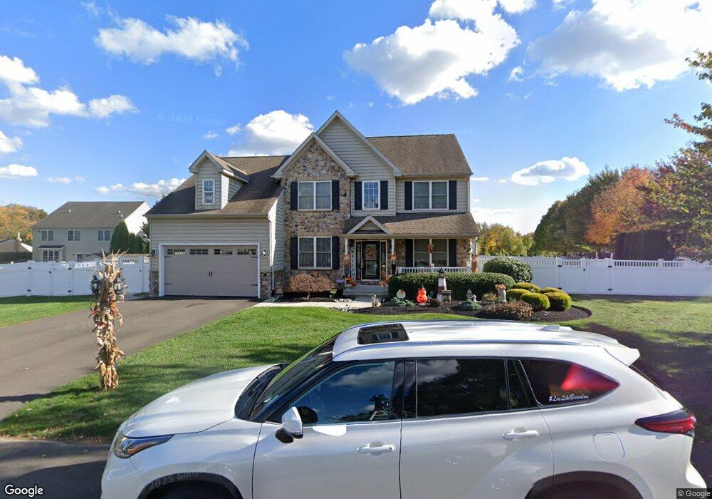
1025 Rose Ct Levittown, PA 19056
Estimated Value: $605,000 - $788,000
4
Beds
4
Baths
2,674
Sq Ft
$262/Sq Ft
Est. Value
About This Home
This home is located at 1025 Rose Ct, Levittown, PA 19056 and is currently estimated at $700,627, approximately $262 per square foot. 1025 Rose Ct is a home located in Bucks County with nearby schools including Walter Miller Elementary School, Sandburg Middle School, and Neshaminy High School.
Ownership History
Date
Name
Owned For
Owner Type
Purchase Details
Closed on
Aug 8, 2008
Sold by
Cavalier Development Llc
Bought by
Rogers James L and Rogers Dawn M
Current Estimated Value
Home Financials for this Owner
Home Financials are based on the most recent Mortgage that was taken out on this home.
Original Mortgage
$401,600
Outstanding Balance
$266,284
Interest Rate
6.54%
Mortgage Type
Purchase Money Mortgage
Estimated Equity
$434,343
Create a Home Valuation Report for This Property
The Home Valuation Report is an in-depth analysis detailing your home's value as well as a comparison with similar homes in the area
Home Values in the Area
Average Home Value in this Area
Purchase History
| Date | Buyer | Sale Price | Title Company |
|---|---|---|---|
| Rogers James L | $503,000 | None Available |
Source: Public Records
Mortgage History
| Date | Status | Borrower | Loan Amount |
|---|---|---|---|
| Open | Rogers James L | $401,600 |
Source: Public Records
Tax History Compared to Growth
Tax History
| Year | Tax Paid | Tax Assessment Tax Assessment Total Assessment is a certain percentage of the fair market value that is determined by local assessors to be the total taxable value of land and additions on the property. | Land | Improvement |
|---|---|---|---|---|
| 2025 | $9,104 | $41,820 | $6,590 | $35,230 |
| 2024 | $9,104 | $41,820 | $6,590 | $35,230 |
| 2023 | $8,960 | $41,820 | $6,590 | $35,230 |
| 2022 | $8,724 | $41,820 | $6,590 | $35,230 |
| 2021 | $8,724 | $41,820 | $6,590 | $35,230 |
| 2020 | $8,620 | $41,820 | $6,590 | $35,230 |
| 2019 | $8,428 | $41,820 | $6,590 | $35,230 |
| 2018 | $8,273 | $41,820 | $6,590 | $35,230 |
| 2017 | $8,062 | $41,820 | $6,590 | $35,230 |
| 2016 | $8,062 | $41,820 | $6,590 | $35,230 |
| 2015 | $8,251 | $41,820 | $6,590 | $35,230 |
| 2014 | $8,251 | $41,820 | $6,590 | $35,230 |
Source: Public Records
Map
Nearby Homes
- 94 Juniper Dr
- 43 Petunia Rd
- 35 Parkside Cir
- 212 Plumbridge Dr
- L:070 Trenton Rd
- 7 Canal Rd
- 33 Red Rose Way
- 524 Washington Ave
- 301 Snowball Dr
- 62 Indian Creek Dr
- 283 Snowball Dr
- 28 Cloister Rd
- 0 Main St
- 38 Plumtree Rd
- 0 Fir Ave
- 50 Micahill Rd
- 14 Cleft Rock Rd
- 19 Prunewood Rd
- 47 Plumbridge Dr
- 164 Trenton Rd
- 1023 Rose Ct
- 1110 Oakland Ave
- 1220 Oakland Ave
- 1330 Oakland Ave
- 1020 Rose Ct
- 1856 Eastend Ave
- 1352 Oakland Ave
- 1301 Frosty Hollow Rd
- 1909 Veterans Hwy Unit MAIN FLOOR
- 1909 Veterans Hwy Unit LOWER LEVEL
- 1909 Veterans Hwy
- 1909 New Rodgers Rd
- 1832 Eastend Ave
- 1829 W End Ave
- 1339 Oakland Ave
- 1129 Frosty Hollow Rd
- 1854 Veterans Hwy
- 1129 Frosty Hollow Rd
- 1855 End Ave
- 1127 Frosty Hollow Rd