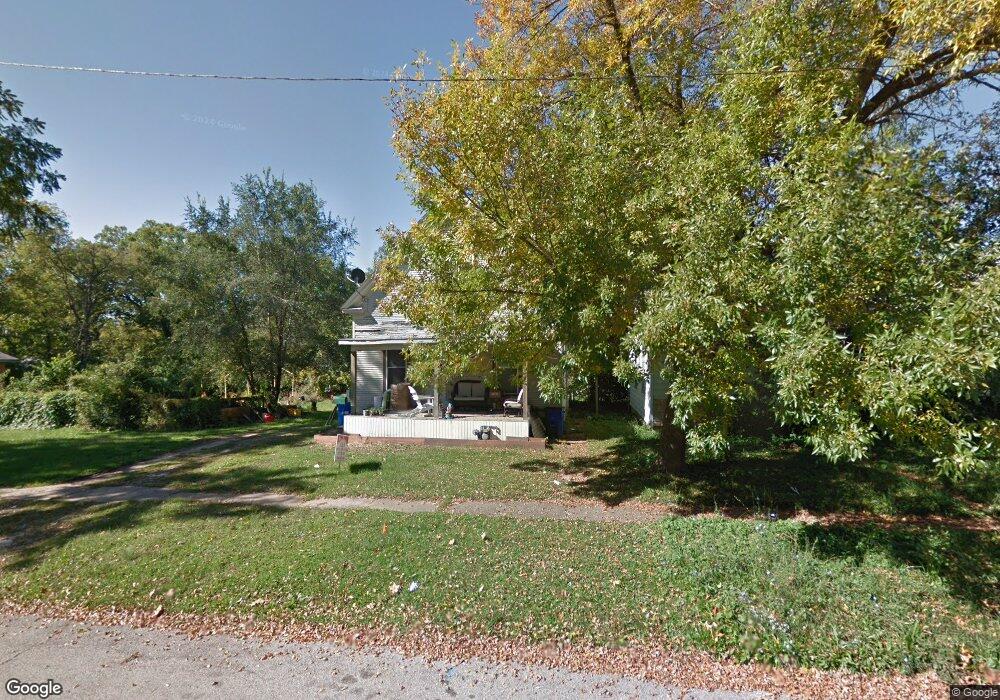
1025 S Maffit St Decatur, IL 62521
Mueller Park NeighborhoodEstimated Value: $41,007 - $66,000
3
Beds
1
Bath
2,082
Sq Ft
$26/Sq Ft
Est. Value
About This Home
This home is located at 1025 S Maffit St, Decatur, IL 62521 and is currently estimated at $53,752, approximately $25 per square foot. 1025 S Maffit St is a home located in Macon County with nearby schools including South Shores Elementary School, Stephen Decatur Middle School, and St. Patrick School.
Ownership History
Date
Name
Owned For
Owner Type
Purchase Details
Closed on
Oct 25, 2019
Sold by
Veteto William H
Bought by
Hutchins Janice
Current Estimated Value
Purchase Details
Closed on
May 23, 2019
Sold by
Mcintyre Jamie L and Mcintyre Jerald
Bought by
Hutchins Janice
Purchase Details
Closed on
Mar 1, 2011
Sold by
Macon County Trust
Bought by
Mcintyre Jamie L
Purchase Details
Closed on
Jun 16, 2008
Sold by
Rankff Terry Ruth
Bought by
The 102 S Matfit Trust
Create a Home Valuation Report for This Property
The Home Valuation Report is an in-depth analysis detailing your home's value as well as a comparison with similar homes in the area
Home Values in the Area
Average Home Value in this Area
Purchase History
| Date | Buyer | Sale Price | Title Company |
|---|---|---|---|
| Hutchins Janice | -- | None Available | |
| Hutchins Janice | $1,500 | None Available | |
| Mcintyre Jamie L | -- | None Available | |
| The 102 S Matfit Trust | $5,000 | None Available |
Source: Public Records
Tax History Compared to Growth
Tax History
| Year | Tax Paid | Tax Assessment Tax Assessment Total Assessment is a certain percentage of the fair market value that is determined by local assessors to be the total taxable value of land and additions on the property. | Land | Improvement |
|---|---|---|---|---|
| 2024 | $849 | $8,766 | $603 | $8,163 |
| 2023 | $842 | $8,456 | $582 | $7,874 |
| 2022 | $800 | $7,825 | $539 | $7,286 |
| 2021 | $752 | $7,308 | $503 | $6,805 |
| 2020 | $478 | $6,968 | $479 | $6,489 |
| 2019 | $478 | $6,968 | $479 | $6,489 |
| 2018 | $472 | $5,288 | $437 | $4,851 |
| 2017 | $471 | $5,430 | $449 | $4,981 |
| 2016 | $475 | $5,486 | $454 | $5,032 |
| 2015 | $459 | $5,389 | $446 | $4,943 |
| 2014 | $431 | $5,336 | $442 | $4,894 |
| 2013 | $429 | $5,537 | $459 | $5,078 |
Source: Public Records
Map
Nearby Homes
- 1232 S Silas St
- 1283 S Illinois St
- 1347 S Maffit St
- 1104 E Moore St
- 1263 E Dickinson Ave
- 1408 E Buena Vista Ave
- 409 Southmoreland Place
- 318 S Martin Luther King Junior Dr
- 1232 E Johns Ave
- 632 S 17th St
- 22 Eastmoreland Ln
- 1605 E Clay St
- 1952 Florida Ct
- 1155 S 20th St
- 1127 S 21st St
- 1764 E Johns Ave
- 1645 E Wood St
- 1753 E Clay St
- 1136 S 21st St
- 580 Powers Ln
- 1015 S Maffit St
- 1005 S Maffit St
- 1087 S Maffit St
- 845 E Cleveland Ave
- 1012 S Maffit St
- 860 E Cleveland Ave
- 830 E Rogers Ave
- 825 E Cleveland Ave
- 903 E Cleveland Ave
- 955 S Maffit St
- 955 S Maffit St Unit PACKAGE OF 6
- 1046 S Maffit St
- 815 E Cleveland Ave
- 1052 S Maffit St
- 913 E Cleveland Ave
- 842 E Cleveland Ave
- 1060 S Maffit St
- 810 E Rogers Ave
- 945 S Maffit St
- 828 E Cleveland Ave