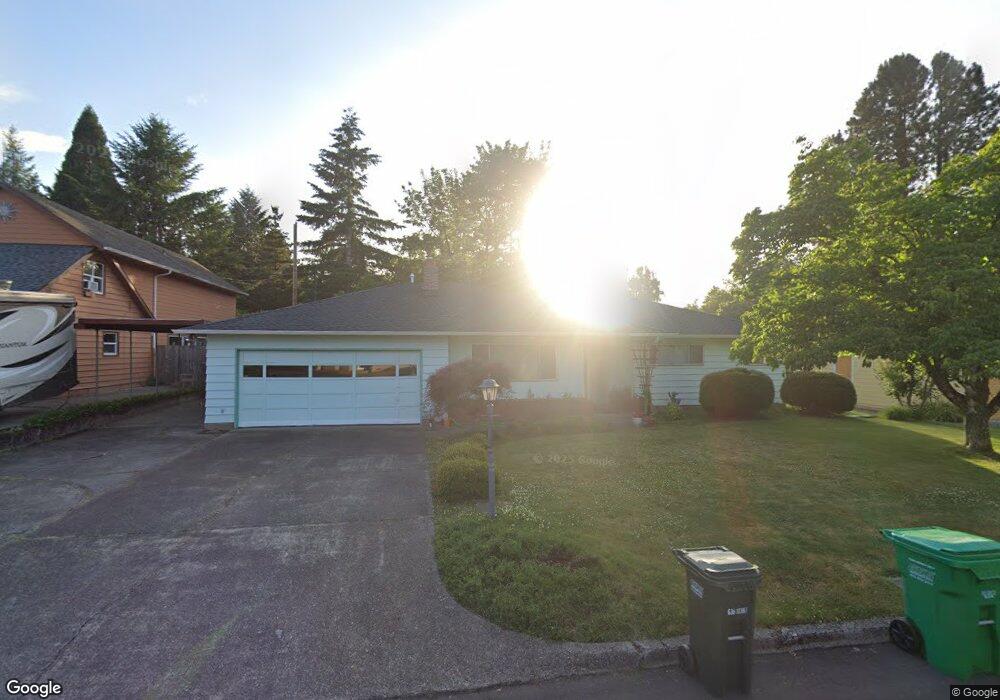
1025 SE Liberty Ave Gresham, OR 97080
Historic Southeast NeighborhoodEstimated Value: $445,000 - $512,000
3
Beds
2
Baths
1,332
Sq Ft
$349/Sq Ft
Est. Value
About This Home
This home is located at 1025 SE Liberty Ave, Gresham, OR 97080 and is currently estimated at $465,523, approximately $349 per square foot. 1025 SE Liberty Ave is a home located in Multnomah County with nearby schools including East Gresham Elementary School, Dexter McCarty Middle School, and Gresham High School.
Ownership History
Date
Name
Owned For
Owner Type
Purchase Details
Closed on
Aug 17, 1995
Sold by
Busto Jeffrey R
Bought by
Ferris Mary L and Ferris James R
Current Estimated Value
Home Financials for this Owner
Home Financials are based on the most recent Mortgage that was taken out on this home.
Original Mortgage
$119,600
Interest Rate
7.71%
Mortgage Type
Purchase Money Mortgage
Create a Home Valuation Report for This Property
The Home Valuation Report is an in-depth analysis detailing your home's value as well as a comparison with similar homes in the area
Home Values in the Area
Average Home Value in this Area
Purchase History
| Date | Buyer | Sale Price | Title Company |
|---|---|---|---|
| Ferris Mary L | $125,900 | Ticor Title Insurance |
Source: Public Records
Mortgage History
| Date | Status | Borrower | Loan Amount |
|---|---|---|---|
| Closed | Ferris Mary L | $119,600 |
Source: Public Records
Tax History Compared to Growth
Tax History
| Year | Tax Paid | Tax Assessment Tax Assessment Total Assessment is a certain percentage of the fair market value that is determined by local assessors to be the total taxable value of land and additions on the property. | Land | Improvement |
|---|---|---|---|---|
| 2025 | $4,944 | $242,970 | -- | -- |
| 2024 | $4,733 | $235,900 | -- | -- |
| 2023 | $4,312 | $229,030 | $0 | $0 |
| 2022 | $4,192 | $222,360 | $0 | $0 |
| 2021 | $4,086 | $215,890 | $0 | $0 |
| 2020 | $3,845 | $209,610 | $0 | $0 |
| 2019 | $3,744 | $203,510 | $0 | $0 |
| 2018 | $3,570 | $197,590 | $0 | $0 |
| 2017 | $3,425 | $191,840 | $0 | $0 |
| 2016 | $3,020 | $186,260 | $0 | $0 |
| 2015 | $2,955 | $180,840 | $0 | $0 |
| 2014 | $2,883 | $175,580 | $0 | $0 |
Source: Public Records
Map
Nearby Homes
- 1420 SE 11th St
- 1563 SE 11th St
- 1267 SE Stapleton Loop
- 917 SE Roberts Ave
- 1949 SE Palmquist Rd Unit 121
- 1949 SE Palmquist Rd Unit 51
- 1949 SE Palmquist Rd Unit 33
- 1949 SE Palmquist Rd Unit 91
- 1949 SE Palmquist Rd Unit 42
- 1949 SE Palmquist Rd Unit 32
- 795 SE Roberts Ave
- 875 SE Rene Ave Unit 885
- 420 SE Linden Ave
- 450 SE Hogan Rd
- 2219 SE 9th Ct
- 1700 SE 4th St
- 2170 SE 16th St
- 2293 SE 15th Alley
- 1407 SE Beech Place
- 732 SE Rene Ave
- 1055 SE Liberty Ave
- 995 SE Liberty Ave
- 1010 SE Liberty Ave
- 935 SE Liberty Ave
- 1095 SE Liberty Ave
- 920 SE Morlan Ave
- 990 SE Liberty Ave
- 1066 SE Liberty Ave
- 1140 SE 9th St
- 1350 SE 10th St
- 1080 SE Liberty Ave
- 1150 SE 9th St
- 1345 SE 10th St
- 1105 SE Liberty Ave
- 1130 SE 9th St
- 915 SE Liberty Ave
- 1391 SE 11th St
- 1390 SE 10th St
- 1134 SE Liberty Ave
- 1075 SE Morlan Ave