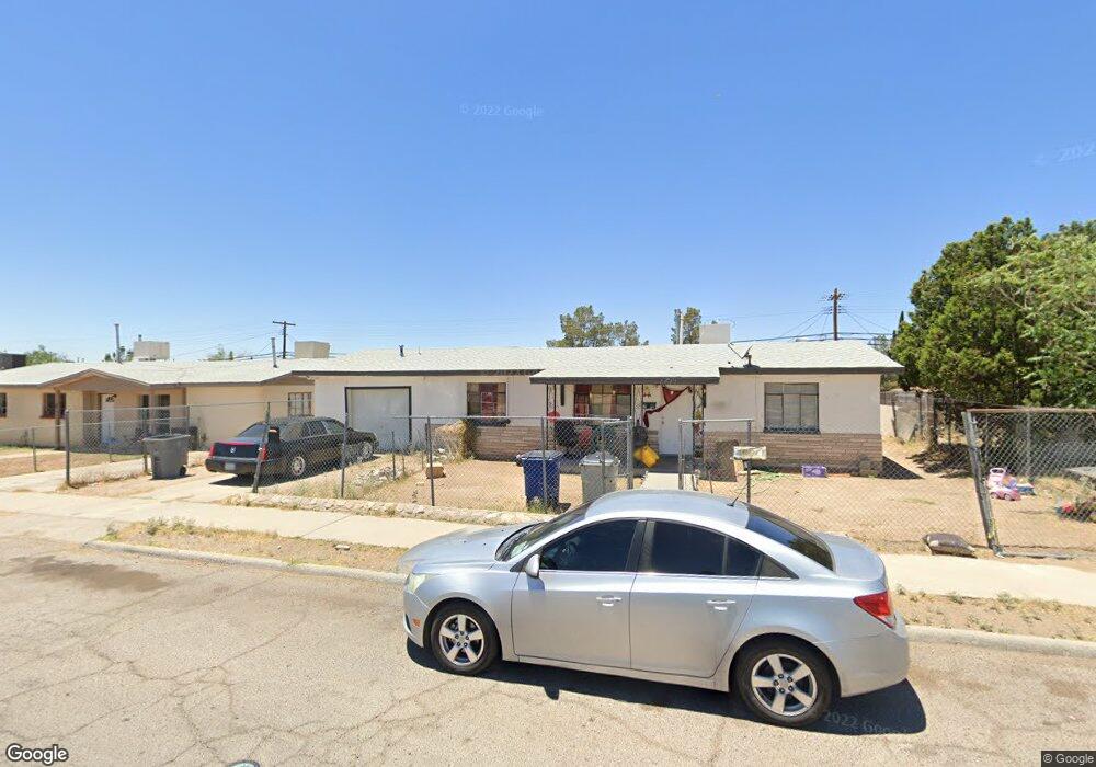
1025 Stanley St El Paso, TX 79907
Mesa Vista NeighborhoodEstimated Value: $114,658 - $187,000
--
Bed
2
Baths
1,464
Sq Ft
$106/Sq Ft
Est. Value
About This Home
This home is located at 1025 Stanley St, El Paso, TX 79907 and is currently estimated at $155,415, approximately $106 per square foot. 1025 Stanley St is a home located in El Paso County with nearby schools including Bel Air Middle, Bel Air High School, and Premier High School Of El Paso.
Ownership History
Date
Name
Owned For
Owner Type
Purchase Details
Closed on
Apr 30, 2024
Sold by
Ramirez Oscar
Bought by
Ramirez Russell Ryan
Current Estimated Value
Purchase Details
Closed on
Dec 12, 2005
Sold by
Avila Jesus
Bought by
Ramirez Oscar
Purchase Details
Closed on
Feb 8, 2001
Sold by
Sanchez Gary
Bought by
Avila Jesus
Purchase Details
Closed on
Sep 8, 1994
Sold by
Forrister Alexis M and Bailey Anita A
Bought by
Ramirez Oscar
Purchase Details
Closed on
Jun 8, 1994
Sold by
Ellis Bonnie Bailey and Browning Bonnie Bailey
Bought by
Bailey Anita A
Create a Home Valuation Report for This Property
The Home Valuation Report is an in-depth analysis detailing your home's value as well as a comparison with similar homes in the area
Home Values in the Area
Average Home Value in this Area
Purchase History
| Date | Buyer | Sale Price | Title Company |
|---|---|---|---|
| Ramirez Russell Ryan | -- | None Listed On Document | |
| Ramirez Oscar | -- | None Available | |
| Avila Jesus | -- | -- | |
| Ramirez Oscar | -- | -- | |
| Bailey Anita A | -- | Commonwealth Land Title Co | |
| Bailey Anita A | -- | Commonwealth Land Title Co |
Source: Public Records
Tax History Compared to Growth
Tax History
| Year | Tax Paid | Tax Assessment Tax Assessment Total Assessment is a certain percentage of the fair market value that is determined by local assessors to be the total taxable value of land and additions on the property. | Land | Improvement |
|---|---|---|---|---|
| 2025 | $4,832 | $171,000 | $31,500 | $139,500 |
| 2024 | $4,832 | $175,772 | $13,650 | $162,122 |
| 2023 | $4,542 | $156,051 | $13,650 | $142,401 |
| 2022 | $3,658 | $117,784 | $13,650 | $104,134 |
| 2021 | $3,121 | $96,017 | $13,650 | $82,367 |
| 2020 | $2,451 | $77,606 | $13,650 | $63,956 |
| 2018 | $2,399 | $77,131 | $13,650 | $63,481 |
| 2017 | $2,241 | $73,298 | $13,650 | $59,648 |
| 2016 | $2,241 | $73,298 | $13,650 | $59,648 |
| 2015 | $2,147 | $73,298 | $13,650 | $59,648 |
| 2014 | $2,147 | $75,019 | $13,650 | $61,369 |
Source: Public Records
Map
Nearby Homes
- 1004 Atwood Dr
- 1121 Stanley St
- 8241 Williamette Ave
- TBD Burnham Dr
- 956 Duskin Dr
- 8341 Loma Terrace Rd
- 8004 Gilbert Dr
- 8181 Staghorn Dr
- TBD Yermoland Dr
- 7937 San Paulo Dr
- 7975 Esther Rd
- 7928 Hermosillo Dr
- 525 Lafayette Dr
- 740 Draco Place
- 8280 N Loop Dr
- 491 Borrett St
- 7922 Parral Dr
- 810 Silvestre Rd
- 812 Santa Barbara Dr
- 8138 Saint Andrew Ln Unit ABCD
- 1021 Stanley St
- 1029 Stanley St
- 1032 Gloria St
- 1036 Gloria St
- 1028 Gloria St
- 1033 Stanley St
- 1017 Stanley St
- 1040 Gloria St
- 1024 Gloria St
- 8101 Rolland Ct
- 8100 Rolland Ct
- 1044 Gloria St
- 1020 Gloria St
- 1037 Stanley St
- 1013 Stanley St
- 8105 Rolland Ct
- 1048 Gloria St
- 8100 Sandland Dr
- 8104 Rolland Ct
- 1016 Gloria St