1025 State Route 357 Put In Bay, OH 43456
Estimated Value: $554,000 - $704,000
--
Bed
--
Bath
1,260
Sq Ft
$519/Sq Ft
Est. Value
About This Home
This home is located at 1025 State Route 357, Put In Bay, OH 43456 and is currently estimated at $653,381, approximately $518 per square foot. 1025 State Route 357 is a home with nearby schools including Put-In-Bay Elementary School and Put-In-Bay High School.
Ownership History
Date
Name
Owned For
Owner Type
Purchase Details
Closed on
Sep 19, 2024
Sold by
Poe Michael T and Poe Alysia R
Bought by
Lake Erie Family Properties Llc
Current Estimated Value
Purchase Details
Closed on
May 6, 2024
Sold by
Szabo Kurt W and Peoples Cheryl M
Bought by
Poe Michael T and Poe Alysia R
Create a Home Valuation Report for This Property
The Home Valuation Report is an in-depth analysis detailing your home's value as well as a comparison with similar homes in the area
Home Values in the Area
Average Home Value in this Area
Purchase History
| Date | Buyer | Sale Price | Title Company |
|---|---|---|---|
| Lake Erie Family Properties Llc | -- | None Listed On Document | |
| Lake Erie Family Properties Llc | -- | None Listed On Document | |
| Poe Michael T | $686,000 | None Listed On Document |
Source: Public Records
Tax History Compared to Growth
Tax History
| Year | Tax Paid | Tax Assessment Tax Assessment Total Assessment is a certain percentage of the fair market value that is determined by local assessors to be the total taxable value of land and additions on the property. | Land | Improvement |
|---|---|---|---|---|
| 2024 | $6,008 | $195,045 | $143,402 | $51,643 |
| 2023 | $6,008 | $194,636 | $164,364 | $30,272 |
| 2022 | $6,245 | $194,636 | $164,364 | $30,272 |
| 2021 | $5,825 | $194,630 | $164,360 | $30,270 |
| 2020 | $5,894 | $180,350 | $152,190 | $28,160 |
| 2019 | $5,657 | $180,350 | $152,190 | $28,160 |
| 2018 | $5,708 | $180,350 | $152,190 | $28,160 |
| 2017 | $5,424 | $178,510 | $152,190 | $26,320 |
| 2016 | $5,433 | $178,510 | $152,190 | $26,320 |
| 2015 | $5,332 | $178,510 | $152,190 | $26,320 |
| 2014 | $2,658 | $178,510 | $152,190 | $26,320 |
| 2013 | $4,976 | $178,510 | $152,190 | $26,320 |
Source: Public Records
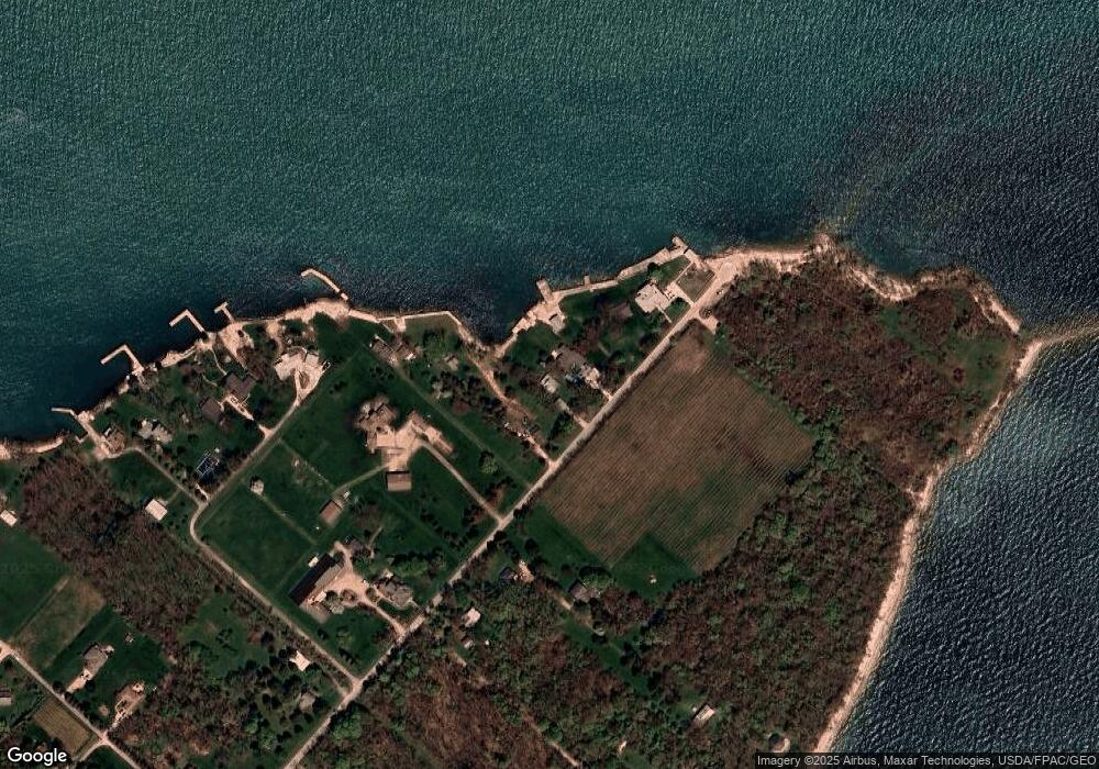
Map
Nearby Homes
- 1049 Ohio 357
- 824 State Route 357
- 90 Anchor Ln
- 400 Swartz Rd Unit 101
- 389 Loraine Ave
- 1053 Harborview Dr
- 0 Runkel Rd Unit 20253633
- 585 Victory Ln
- 569 Victory Ln
- 1 Runkle
- 495 Lake Rd
- 174 Booker Ln
- 0 Put-In-bay Rd Unit 5108785
- 70 Niese Place
- 1254 Tri-Motor Dr Unit 112
- 0 Trenton Ave
- 1230 Tri-Motor Dr Unit 4
- 1230 Tri Motor Dr Unit 4
- 1252 Tri-Motor Dr Unit 213
- 800 Evelyn Rd
- 1049 State Route 357
- 975 Columbus Ave
- 1089 State Route 357
- 905 State Route 357 Ave
- 941 State Route 357
- 838 State Route 357
- 155 Roth Dr
- 827 State Route 357
- 161 Roth Dr
- 2 Roth Dr
- 771 State Route 357
- 175 Roth Dr
- 177 Crowes Ln
- 718 State Route 357
- 719 Columbus Ave (St Rte 357)
- 719 Columbus Ave
- 719 Ohio 357
- 81 Mikes Dr
- 180 Crowes Ln
- 101 Mikes Dr