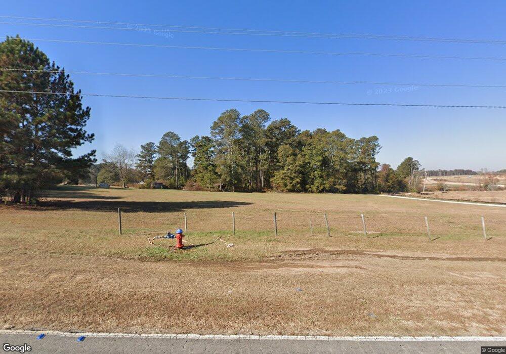
1025 Tom Miller Rd Bethlehem, GA 30620
Estimated Value: $468,000 - $727,299
3
Beds
4
Baths
2,996
Sq Ft
$190/Sq Ft
Est. Value
About This Home
This home is located at 1025 Tom Miller Rd, Bethlehem, GA 30620 and is currently estimated at $569,433, approximately $190 per square foot. 1025 Tom Miller Rd is a home located in Barrow County with nearby schools including Yargo Elementary School, Haymon-Morris Middle School, and Apalachee High School.
Ownership History
Date
Name
Owned For
Owner Type
Purchase Details
Closed on
Jun 13, 2019
Sold by
Low Deborah H
Bought by
Long Thomas S and Long Barbara
Current Estimated Value
Purchase Details
Closed on
Jun 3, 2016
Sold by
Low Robert G
Bought by
Low Deborah H
Purchase Details
Closed on
Mar 6, 2012
Sold by
Long Thomas S
Bought by
Community & Southern Bank
Purchase Details
Closed on
Nov 28, 1983
Bought by
Long Thomas S and Long Barb
Create a Home Valuation Report for This Property
The Home Valuation Report is an in-depth analysis detailing your home's value as well as a comparison with similar homes in the area
Home Values in the Area
Average Home Value in this Area
Purchase History
| Date | Buyer | Sale Price | Title Company |
|---|---|---|---|
| Long Thomas S | -- | -- | |
| Low Deborah H | -- | -- | |
| Community & Southern Bank | -- | -- | |
| Long Thomas S | $5,800 | -- |
Source: Public Records
Tax History Compared to Growth
Tax History
| Year | Tax Paid | Tax Assessment Tax Assessment Total Assessment is a certain percentage of the fair market value that is determined by local assessors to be the total taxable value of land and additions on the property. | Land | Improvement |
|---|---|---|---|---|
| 2025 | $4,493 | $227,432 | $61,810 | $165,622 |
| 2024 | $4,503 | $224,130 | $61,810 | $162,320 |
| 2023 | $4,475 | $224,130 | $61,810 | $162,320 |
| 2022 | $5,156 | $182,567 | $53,544 | $129,023 |
| 2021 | $4,878 | $162,627 | $42,835 | $119,792 |
| 2020 | $4,213 | $139,890 | $28,200 | $111,690 |
| 2019 | $4,290 | $139,890 | $28,200 | $111,690 |
| 2018 | $4,248 | $139,630 | $28,200 | $111,430 |
| 2017 | $3,769 | $129,462 | $28,200 | $101,262 |
| 2016 | $3,820 | $126,079 | $28,200 | $97,879 |
| 2015 | $3,844 | $126,250 | $28,200 | $98,050 |
| 2014 | $3,529 | $111,981 | $13,818 | $98,163 |
| 2013 | -- | $106,502 | $13,818 | $92,684 |
Source: Public Records
Map
Nearby Homes
- 1130 Lyndhurst Ln
- 16 Casteel Cir
- Lancaster Plan at The Estates at Casteel
- Buckley Plan at The Estates at Casteel
- Cardiff Plan at The Estates at Casteel
- Pearson Plan at The Estates at Casteel
- Savoy Plan at The Estates at Casteel
- Hampstead Plan at The Estates at Casteel
- Pembroke Plan at The Estates at Casteel
- 117 Kensington Trace
- 50 Gillis Ln
- 102 Galilee Ln
- 173 Hynes St
- Europa Plan at Casteel
- Astro Plan at Casteel
- Solstice Plan at Casteel
- Galileo Plan at Casteel
- Beacon Plan at Casteel
- Splendor Plan at Casteel
- 280 Silverleaf Trail
- 1005 Tom Miller Rd
- 1129 Nantucket Way
- 1122 Nantucket Way
- 1136 Nantucket Way
- 1179 Nantucket Way
- 1117 Nantucket Way
- 1166 Nantucket Way
- 1180 Nantucket Way
- 1196 Nantucket Way
- 1406 Nantucket Dr Unit 1
- 1406 Nantucket Dr
- 1417 Nantucket Dr
- 1416 Nantucket Dr Unit 32
- 1416 Nantucket Dr
- 1415 Nantucket Dr
- 1046 Lyndhurst Ln
- 1067 Lyndhurst Ln
- 1099 Lyndhurst Ln
- 1083 Lyndhurst Ln
- 1034 Lyndhurst Ln
