10250 Alpenglow Ln Victor, ID 83455
Estimated Value: $1,063,000 - $1,257,000
3
Beds
3
Baths
2,254
Sq Ft
$510/Sq Ft
Est. Value
About This Home
This home is located at 10250 Alpenglow Ln, Victor, ID 83455 and is currently estimated at $1,149,474, approximately $509 per square foot. 10250 Alpenglow Ln is a home with nearby schools including Victor Elementary School and Teton High School.
Ownership History
Date
Name
Owned For
Owner Type
Purchase Details
Closed on
Aug 3, 2022
Sold by
Smith Shankland Stephanie
Bought by
Shankland Adam P
Current Estimated Value
Purchase Details
Closed on
Jun 10, 2016
Sold by
Shankland Stephanie S and Shankland Adam P
Bought by
Shankland Stephanie S
Purchase Details
Closed on
Sep 8, 2009
Sold by
Dennis Roger And Roberta Colvin 1991 Tru
Bought by
Smith Stephanie A
Home Financials for this Owner
Home Financials are based on the most recent Mortgage that was taken out on this home.
Original Mortgage
$228,000
Interest Rate
5.2%
Mortgage Type
New Conventional
Create a Home Valuation Report for This Property
The Home Valuation Report is an in-depth analysis detailing your home's value as well as a comparison with similar homes in the area
Home Values in the Area
Average Home Value in this Area
Purchase History
| Date | Buyer | Sale Price | Title Company |
|---|---|---|---|
| Shankland Adam P | -- | None Listed On Document | |
| Shankland Stephanie S | -- | Alliance Title Boise Prducti | |
| Smith Stephanie A | -- | -- |
Source: Public Records
Mortgage History
| Date | Status | Borrower | Loan Amount |
|---|---|---|---|
| Previous Owner | Smith Stephanie A | $228,000 |
Source: Public Records
Tax History Compared to Growth
Tax History
| Year | Tax Paid | Tax Assessment Tax Assessment Total Assessment is a certain percentage of the fair market value that is determined by local assessors to be the total taxable value of land and additions on the property. | Land | Improvement |
|---|---|---|---|---|
| 2025 | $2,951 | $828,238 | $240,000 | $588,238 |
| 2024 | $2,951 | $828,238 | $240,000 | $588,238 |
| 2023 | $2,951 | $808,238 | $220,000 | $588,238 |
| 2022 | $2,740 | $637,266 | $150,000 | $487,266 |
| 2021 | $2,758 | $393,548 | $53,811 | $339,737 |
| 2020 | $2,839 | $331,802 | $53,811 | $277,991 |
| 2019 | $2,785 | $331,802 | $53,811 | $277,991 |
| 2018 | $2,785 | $306,487 | $51,818 | $254,669 |
| 2017 | $2,401 | $289,723 | $47,832 | $241,891 |
| 2016 | $2,359 | $263,054 | $47,832 | $215,222 |
| 2015 | $2,327 | $224,667 | $37,867 | $186,800 |
| 2011 | -- | $243,801 | $51,818 | $191,983 |
Source: Public Records
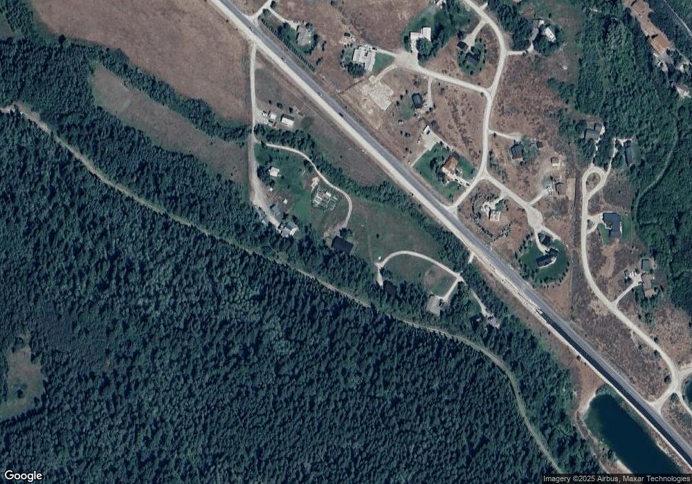
Map
Nearby Homes
- 9855 S 1100 Hwy E
- 1635 Mule Deer Ln
- 7955 S Highway 33
- LOT 6AB S Highway 33
- LOT 5AB S Highway 33
- LOT 4AB S Highway 33
- LOT 7 Hillside Dr
- LOT 10 Hillside Dr
- 2 Blackfoot Trail
- 3 Blackfoot Trail
- LOT 23 Tbd Old Jackson Hwy
- 29 Bannock Cir
- LOT 20 Tbd Old Jackson Hwy
- LOT 21 Tbd Old Jackson Hwy Dr
- 31 Bannock Cir
- LOT 3 Hillside Dr
- LOT 1 Hillside Dr
- LOT 20 Hillside Dr
- LOT 9 Tbd Mail Cabin Dr
- 9 Targhee Trail
- 10290 Woolstenhulme Way
- 10310 Woolstenhulme Way
- 1485 T C Dr
- 1036 S Hwy 33
- 1135 Taylor Mountain Dr
- 1111 Taylor Mountain Dr
- 1036 S 33 Hwy
- 62 E Homestead Dr
- 62 E Homestead Dr Unit 207
- 62 E Homestead Dr Unit 213
- 62 E Homestead Dr Unit 211
- 62 E Homestead Dr Unit 210
- 62 E Homestead Dr Unit 206
- 62 E Homestead Dr Unit 205
- 62 E Homestead Dr Unit 208
- 62 E Homestead Dr Unit 204
- 62 E Homestead Dr Unit 203
- 62 E Homestead Dr Unit 202
- 62 E Homestead Dr Unit 201
- 62 E Homestead Dr Unit 101